
I Am Not Rankin’ on This Place!
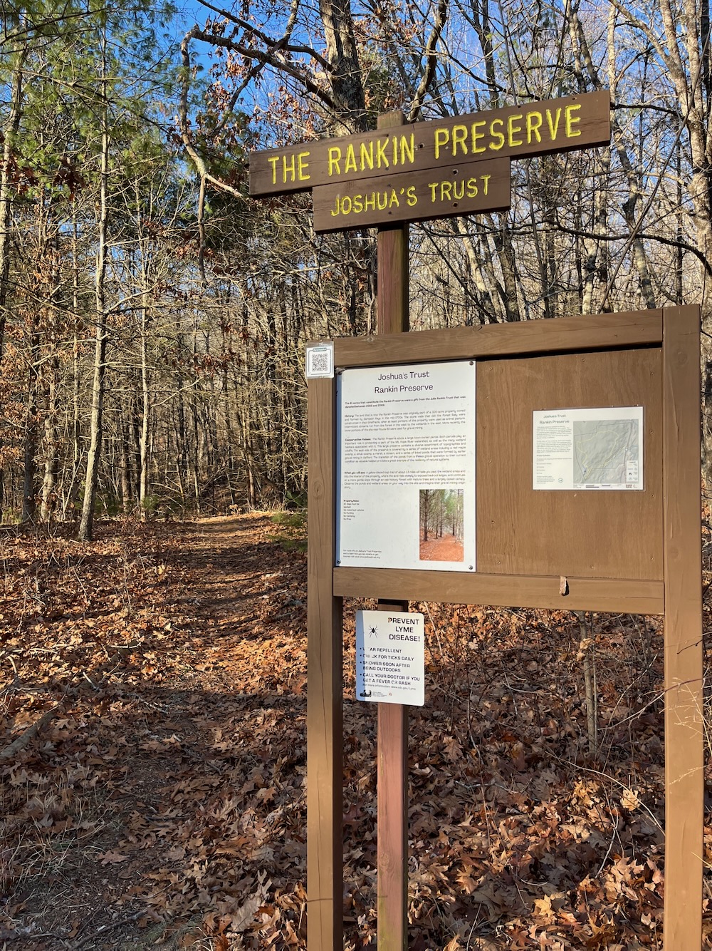
Rankin Preserve, Ashford
January 2017 & December 2025
This is a Joshua’s Trust property. I first came here in 2017 before the loop trail existed, so I returned in 2025.
Back in 2017 I hopped out of my car, snapped a picture of the sign, jogged down the old woods road to its end at some ponds, and called it a day. Back then, that was it. I checked off the Preserve and called it done.
Now, eight years later, I learned that Joshua’s Trust created a 1.5 mile loop trail here. So I returned. Because that’s what I do… jokes aside, a great organization like Joshua’s Trust deserves a revisit for all the work that they do.
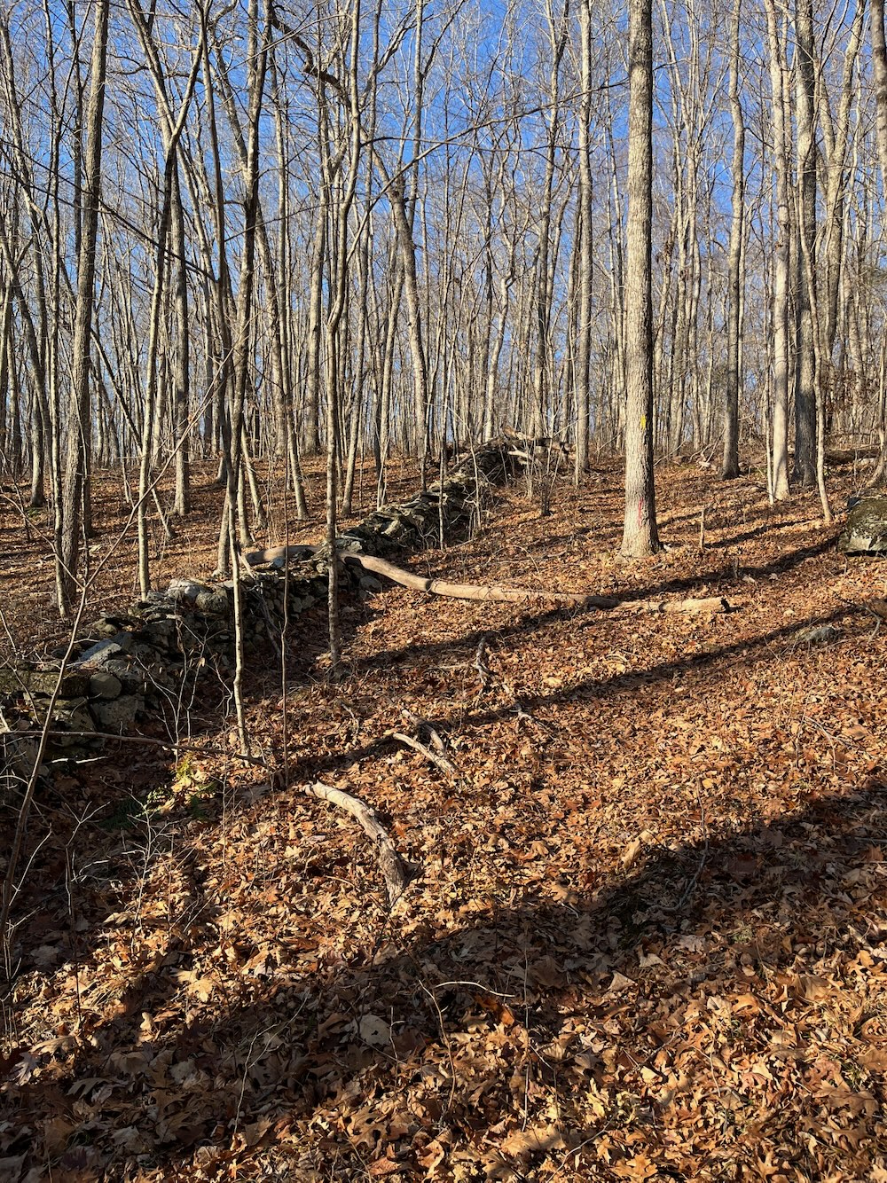
The land that is now the Rankin Preserve was originally part of a 300-acre property owned and farmed by Sampson Keys in the mid-1700’s. The stone walls that dot the forest likely were constructed in that timeframe, when at least portions of the property were used as animal pasture. Intermittent streams run from the forest in the west to the wetlands in the east. More recently, the lower portions of the site near Route 89 were used for gravel mining.
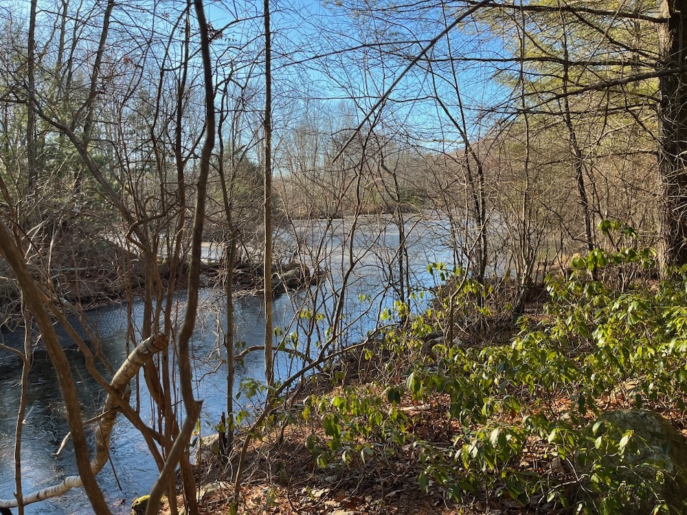
The former gravel pits are the first things a hiker encounters and are now marshes and little ponds. I’m sure this place was ugly as all get out when the mining was in full swing, so it’s nice to see the area returning from lifeless gravel pits to nature again.
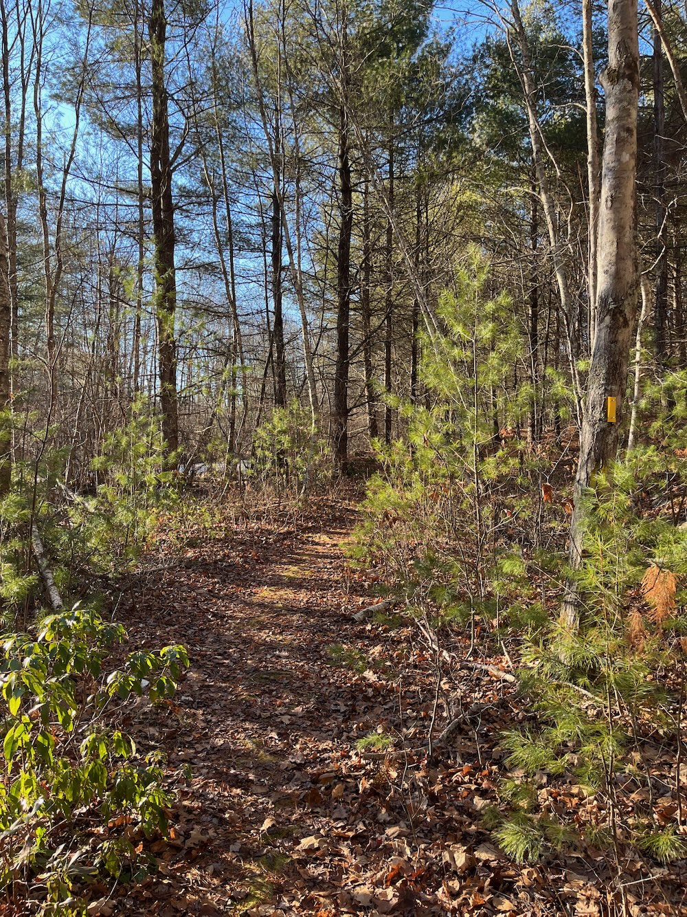
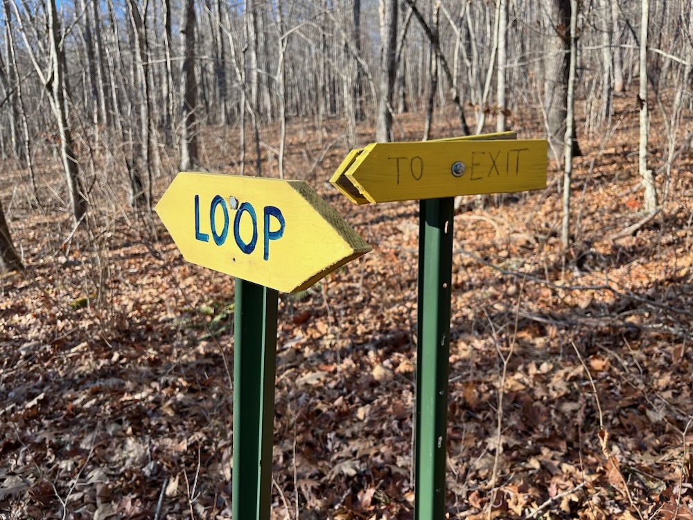
Past the ponds, the trail begins to climb a bit and then splits for the loop. I chose to walk the property clockwise, but don’t think one way or the other offers any sort of advantage. The Rankin Preserve offers the absolute bang-average Connecticut hike. Not too steep, not too flat. Not too much evergreen, not too many deciduous trees. Not too many rocks, not too few. Not too many stone walls, not too few.
My “average” comment isn’t a knock on this joint. I’m really not rankin’ on this hike. Not at all. An average 1.5 mile jaunt in northern Connecticut woods is a wonderful way to spend some time.
Here’s some of what the Trust has to say about the Rankin Preserve.
This large preserve contains a diverse assortment of topographies and wildlife. The east side of the preserve is covered by a series of wetland areas including a red maple swamp, and shrub swamp, a marsh, a stream, and a series of linked ponds that were formed by earlier gravel mining in Ashford.
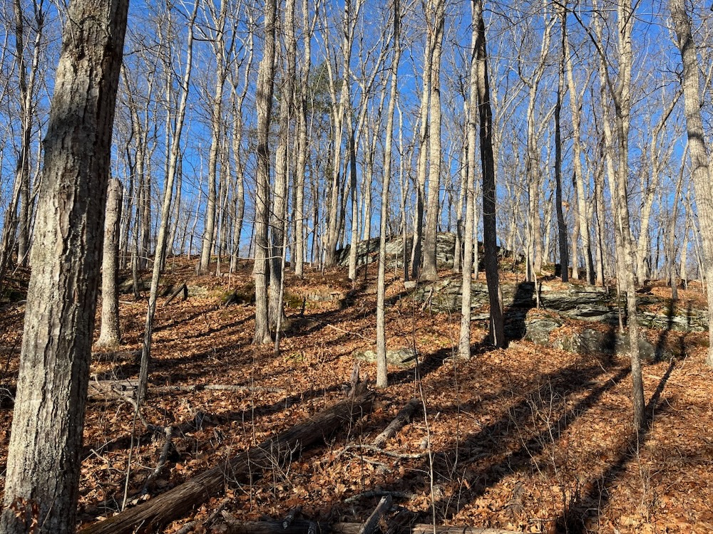
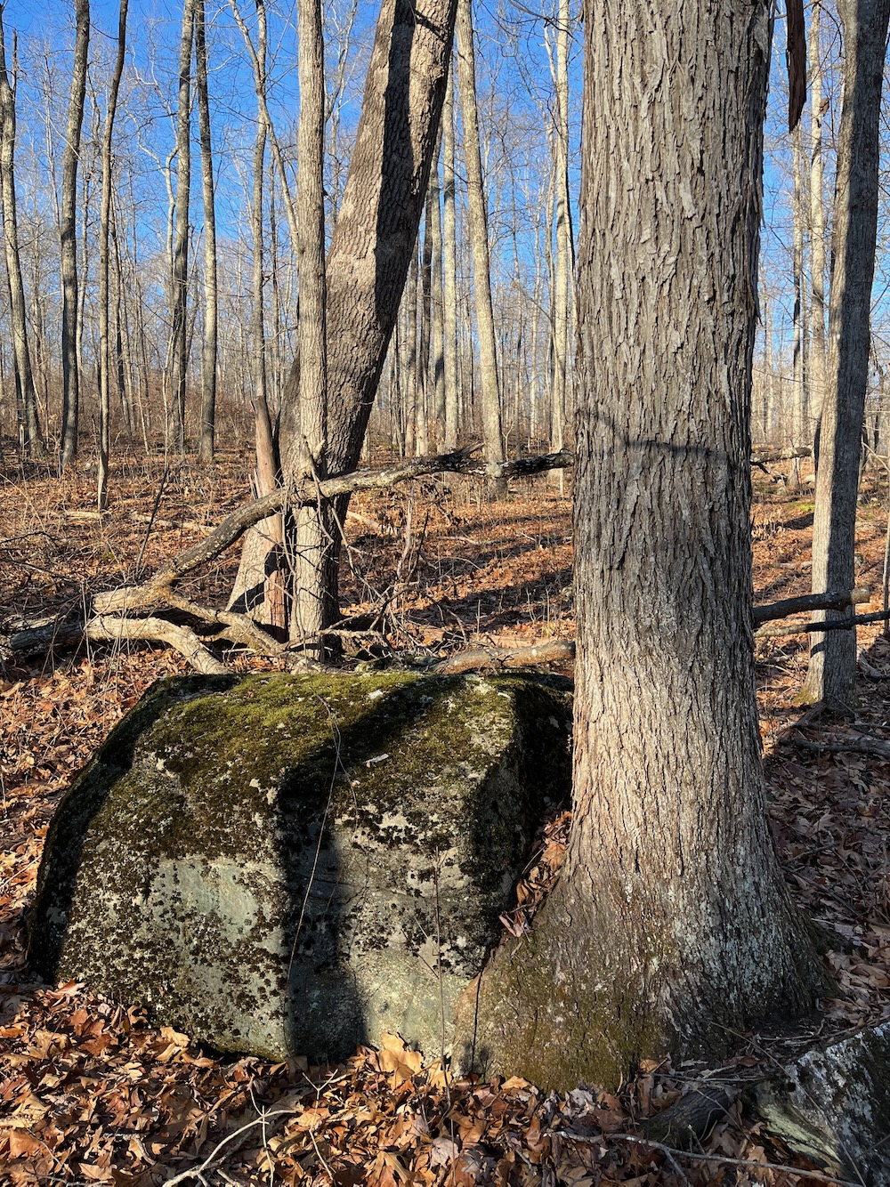
To the west of the wetlands, land rises steeply to exposed bedrock ledges, and continues on a more gently slope through an oak-hickory forest with mature trees and a largely closed canopy. The stone walls that dot the forest provide clues to the land’s past life as a pasture, most likely used in colonial times and until World War II. Intermittent streams run from the forest in the west to the wetlands in the east.
The Rankin Property abuts a large town-owned parcel. Both parcels play an important role in protecting a part of the Mt. Hope River watershed, as well as the many wetland habitats associated with it.
I mean… yeah. That’s, like, half the Joshua’s Trust parcels. Which, again, isn’t a bad thing!
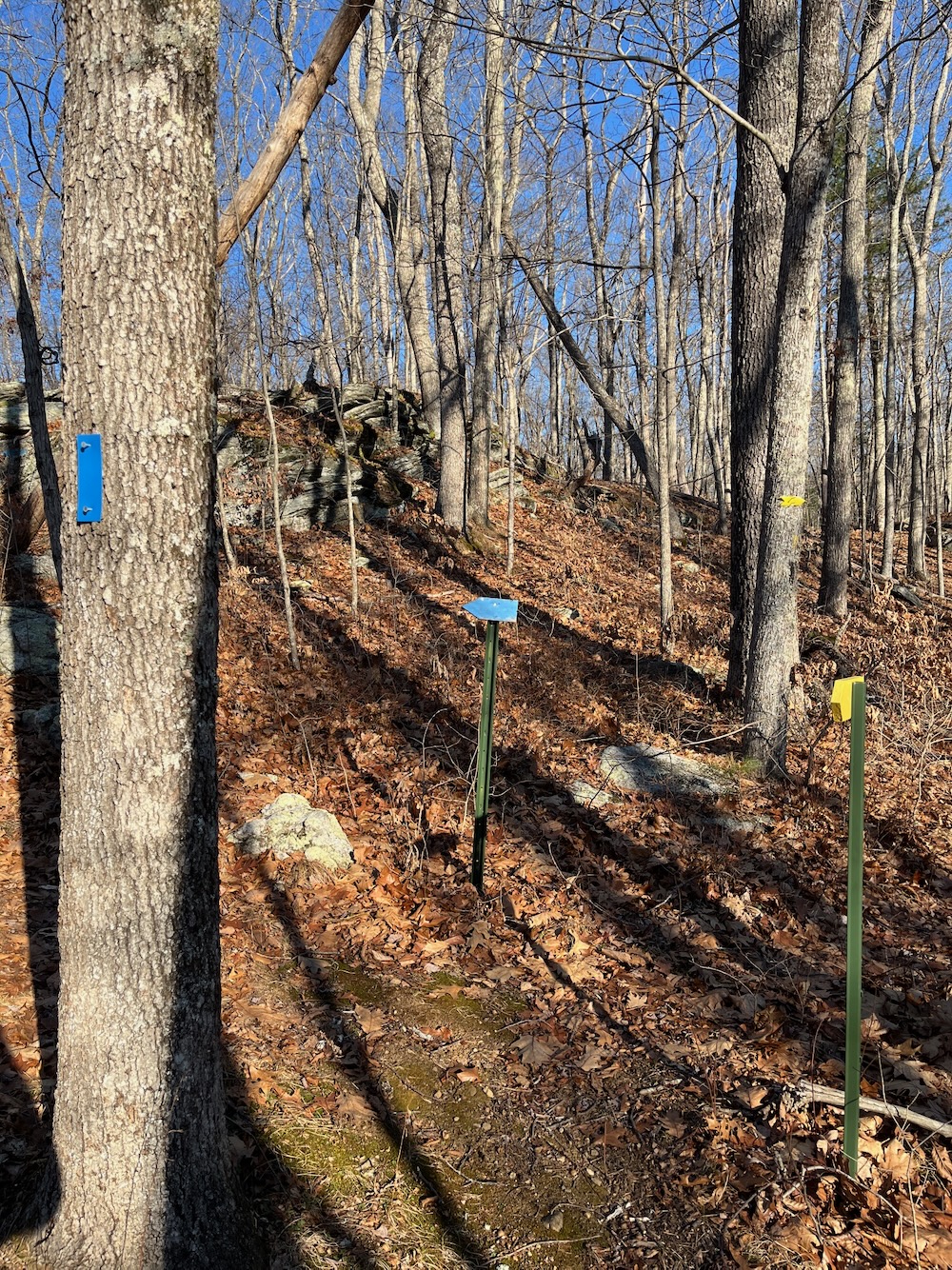
I neared the crest of the hill and took the scenic blue spur trail. This summits the hill and requires a few more steps up a rock outcropping. There no view to speak of in December, so there sure as heck isn’t one at other times during the year.
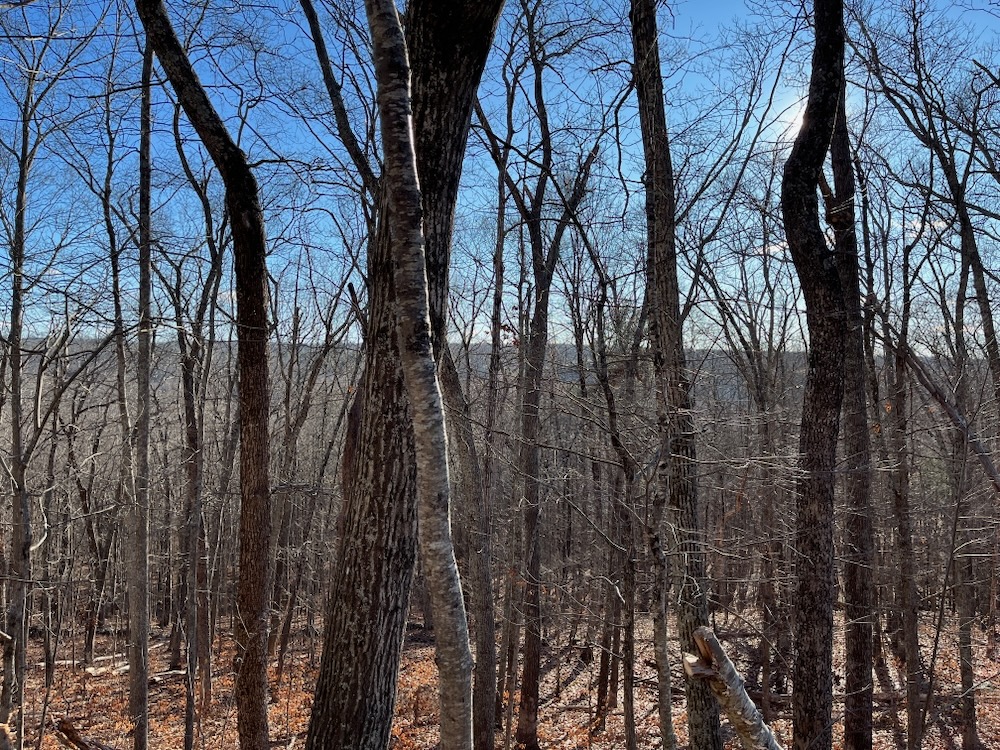
View
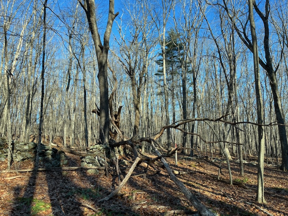
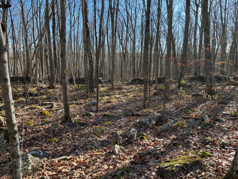
Somewhere around here is a connector trail to the town’s Tremko Trail, but I didn’t happen to see it. I reconnected with the yellow loop and continued my walk around the property. This final third that took me back down to the gravel ponds did feature a lot of incredibly well-built stone walls.
I finished the loop and made my way back out to my car. Rankin is yet another perfect hike for kids as well as anyone dipping their feet into hiking. It’s short but not too short… hilly but not too hilly…
You get the point, and I swear, I’m not rankin’ on this place!
![]()
Joshua’s Trust
CTMQ hikes Joshua’s Trust’s Trails
Leave a Reply