
Wolf Pit Mountain Trail
1.2 Miles, solo
July 13, 2009
There is really only one cool thing about this little trail tucked away in Bridgewater – the name. Other than that, unless you happen to live within a few miles of it, or are a similarly-minded goofball and are completing the CFPA’s Connecticut Blue Trails Challenge, there really is no reason to make the trek out there to hike it.
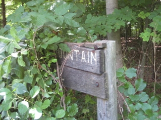
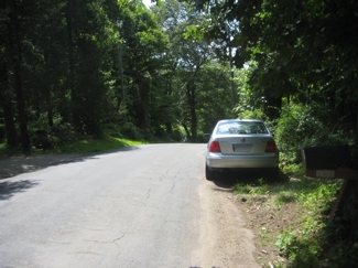
The trailhead off of Henry Sanford Road was fairly difficult to find on the day I hiked. There is a wooden sign on the road, but it was overgrown and slightly rotted. Safe parking is also an issue here; the road is hilly and twisty and shoulderless. I believe there is the ability to park in the woods, but the practicality of doing so during my visit was nil.
I left my car along the side of the road and figured it was lightly traveled and I’d be pretty quick. After all, at 1.2 miles, I was hoping to complete the loop in about 15 minutes or so, even if I had already done some hiking earlier over in New Milford on another part of the Sunny Valley Preserve Trail Network
Since there’s not much to discuss about this trail, I should note that any visit to the area requires a stop at Lover’s Leap State Park. Trails through the park will lead the walker through centuries of land-use history. Heading northeast from the parking lot the trail utilizes the 1895 Berlin Iron Bridge, one of five remaining in Connecticut, to cross the Housatonic River. Across the bridge the Lovers Leap Trail heads southeast 1,200 feet to the rock formation that gives the park its name. From here, tradition has it, that the Pootatuck Indian Chief Waramaug’s daughter, Princess Lillinonah, and her lover plunged to their deaths. The Chief himself died in 1735.
Gee, another Indian maiden leaping to her death story? I can’t get enough of them (There are enough for a CTMQ tag). Anyway, I did stop at the park and was impressed with its cleanliness and interpretive signage along the pathways.
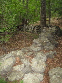
Over to the east of the trail is Mine Hill Preserve in Roxbury. Said to be Roxbury’s “crown jewel” in terms of natural resources, flora, fauna and a rich history entwined with the town since the 1800’s when the iron mine fueled the area’s economy. Lots of reclusive rich and famous people happen to live in Roxbury, but something tells me I won’t be seeing them on Wolf Pit Mountain anytime soon.
Anyway, I mention Mine Hill because I can only assume that the mountain I was climbing was also mined back in the day. That gave me something to think about as I climbed up past old stone walls to the top of the “mountain.” I put quotes around “mountain” because, really, it’s just a hill.
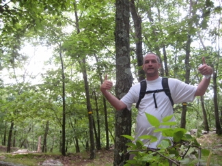
On top of the 740′ “mountain”
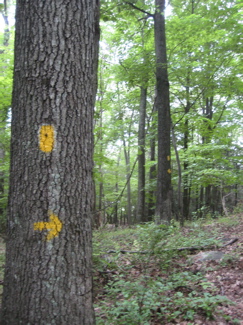
I noticed a cutoff trail that was blazed white. I also noticed there was no view on top and before I knew it, I was descending down and around the hill, heading back to the trailhead. Note: If you read this and still want to check it out, I strongly recommend tackling the trail clockwise, as it is much easier that way. Then again, if you read this rather bland description and drive all the way out to nowheresville Bridgewater (the last dry town in Connecticut, by the way), you are probably a bit of a masochist and would rather hike the slightly more difficult route.
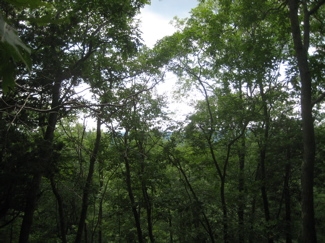
The, um, view.
I ended up running down the mountain back to my car, completing the trail wholly without incident.
Sadly, that is all.
Leave a Reply