
Crystal Cleared
Crystal Ridge Trails, Ellington
September 2026
Ellington went on a little trail-clearing bender recently and created several new trails. And that’s great! I love new trails and more importantly, more protected land. Even if a lot of times that protected land is a set-aside open space requirement for when a develop builds of bunch of new houses or a strip mall or something.
I think that’s the case here at Crystal Ridge, with trails just down the hill from Crystal Ridge Estates off of Old Sandy Beach Road.
If you’re wondering why there’s a Sandy Beach Road – and an Old Sandy Beach Road – in Ellington, many miles from any sandy beach you may be familiar with, it is because the teeny tiny beach at the southern end of Crystal Lake features none other than “Sandy Beach.”
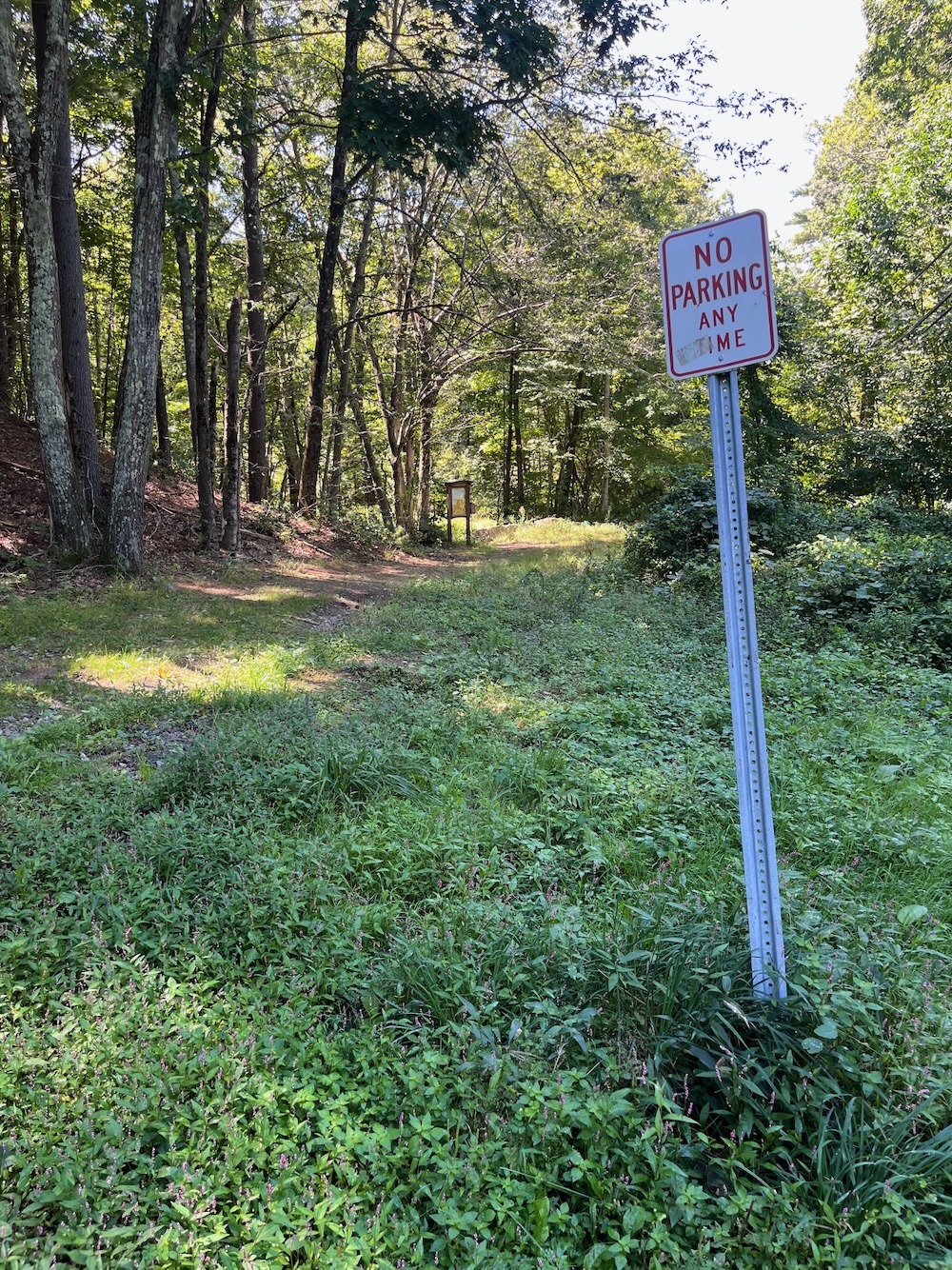
The bigger mystery here is that there are a bunch of No Parking signs in the cul-du-sac in which hikers are requested to park. The town says, “Park in the cul-de-sac adhering to the parking signs.” Which I figured out means to park in the unsigned 20 feet of space on one side of the circle.
Wait. Circles don’t have sides.
You’ll figure it out. Let’s hike.
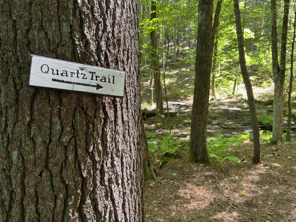
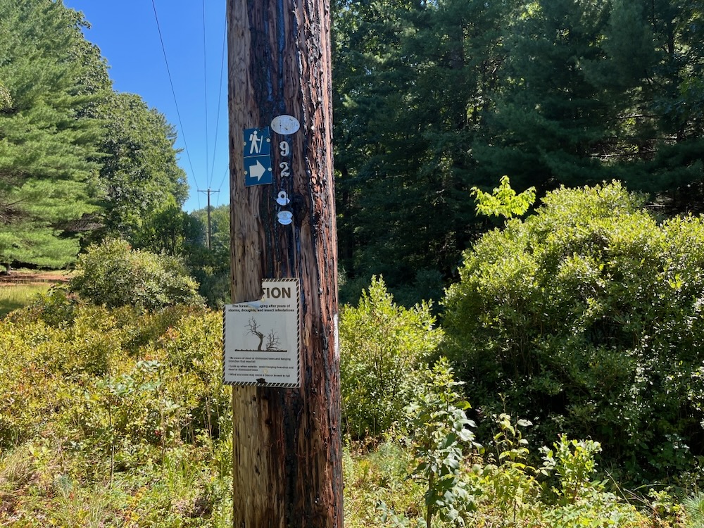
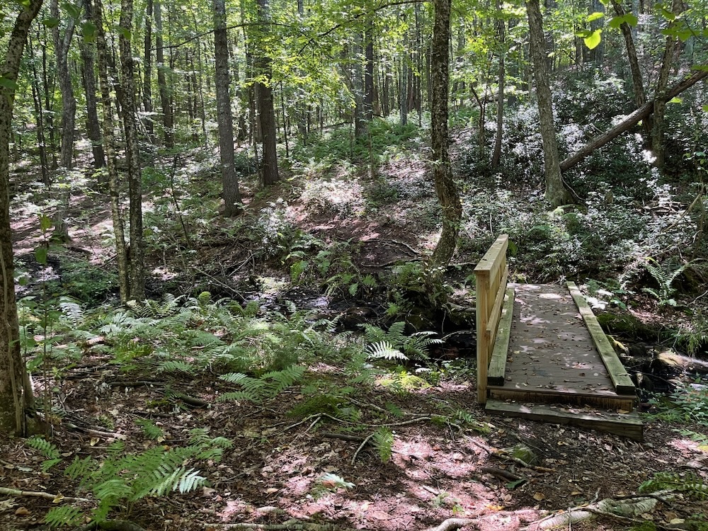
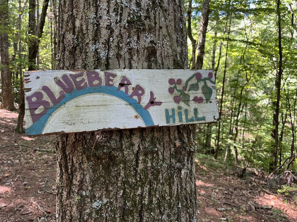
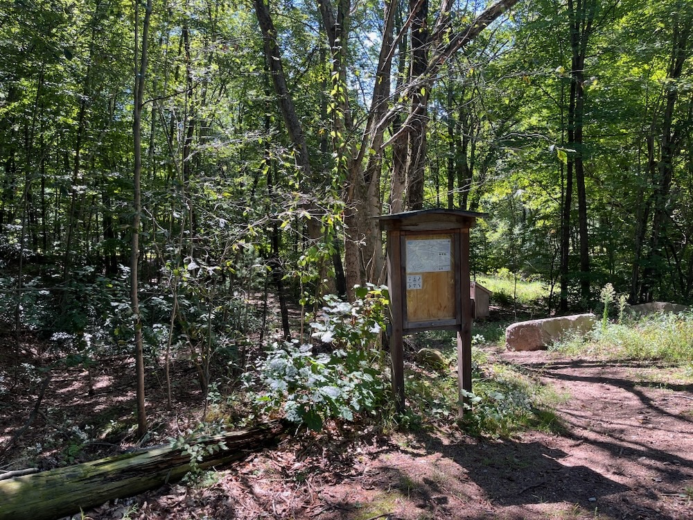
There’s a nice kiosk at the trailhead to guide you down a dirt road to a powerline cut. Across that and into the woods down to Aborn Brook. You can take a rest here after your three minutes of walking to prepare yourself for the hike up the hill on the white-blazed Quartz Trail (hiking the property clockwise). The hill is apparently called Blueberry Hill, despite the fact I saw zero evidence of blueberry bushes.
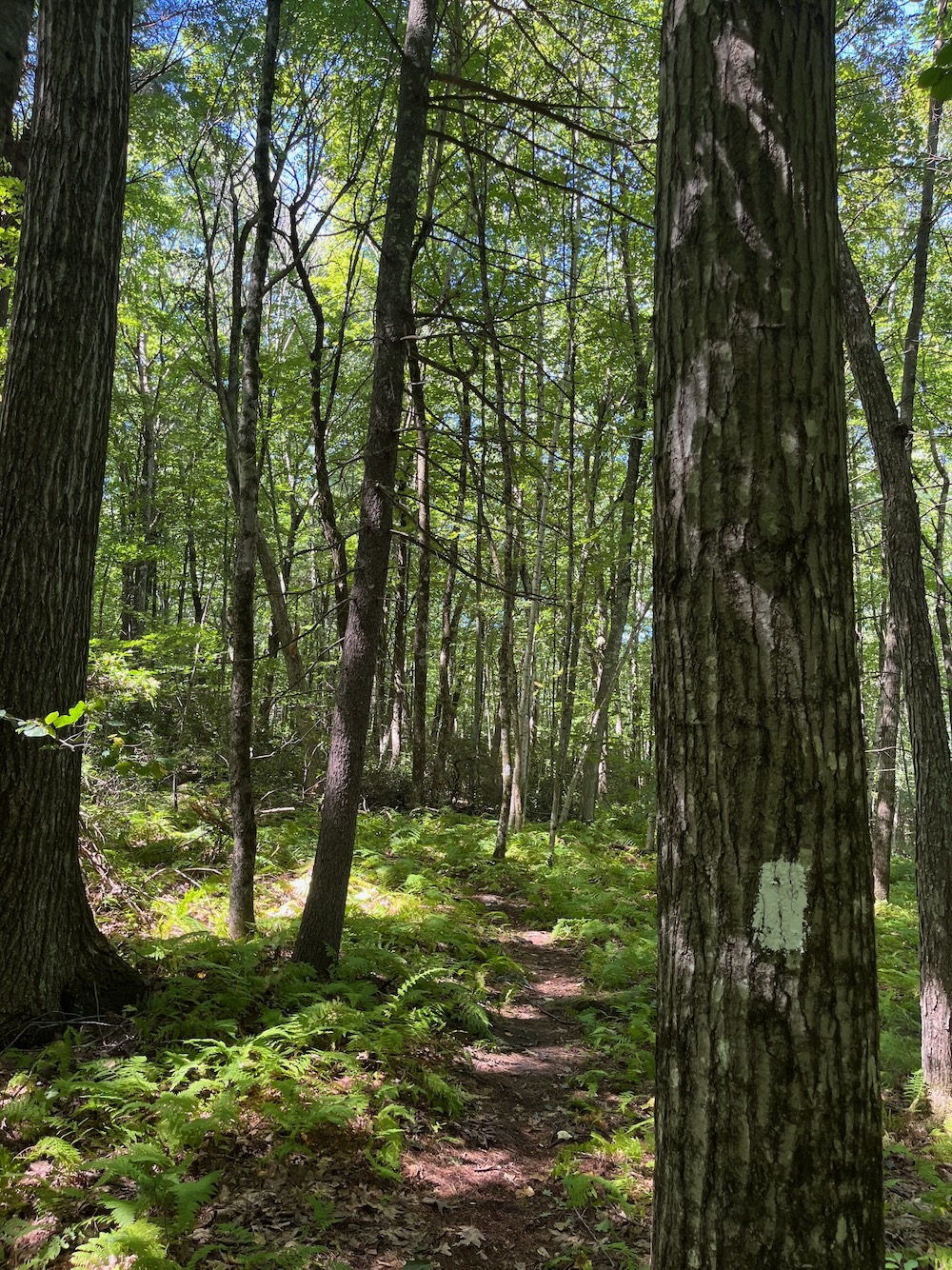
There’s thick tree cover here, so I don’t think there’s ever been blueberries here, but what do I know.
I know there’s no need to summit the hill like I did, but you get to see the nice little sign here if you do. (And that’s all you’ll see, as there’s certainly no hope of any sort of view.)
Back to the Quartz Trail and you’ll pass by some quartz. Hence, the trail name.
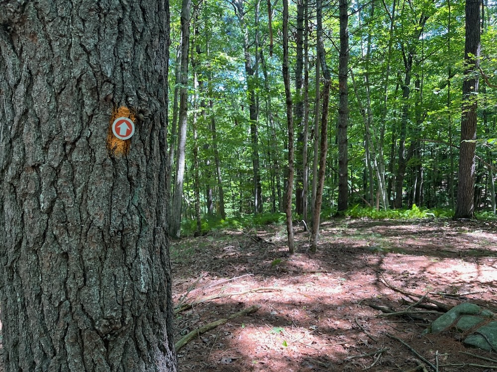
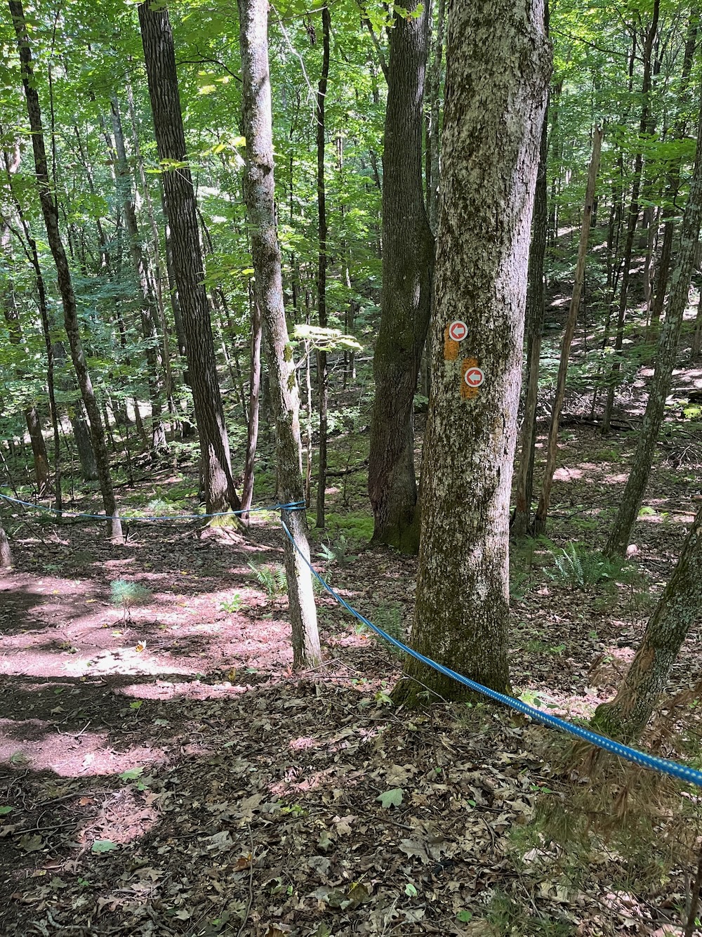
The trail is hemmed in by the houses and after a turn to the right, the trail comes to an end at a dirt road. And here’s where your boy (me) did something I do not recommend doing. And that is, hiking both orange-blazed trails that exist.
These trails are just kind of…dumb. Sure, they were created by, I think, a boy scout named Zach. And good for Zach! However, the two parallel orange trails more or less just go straight down the hill. They are very steep and someone has seen it fit to install handrails of a sort. The thing is, if this was a highly trafficked trail system, these trails would be useless very, very quickly due to run-off and people sliding down it when wet.
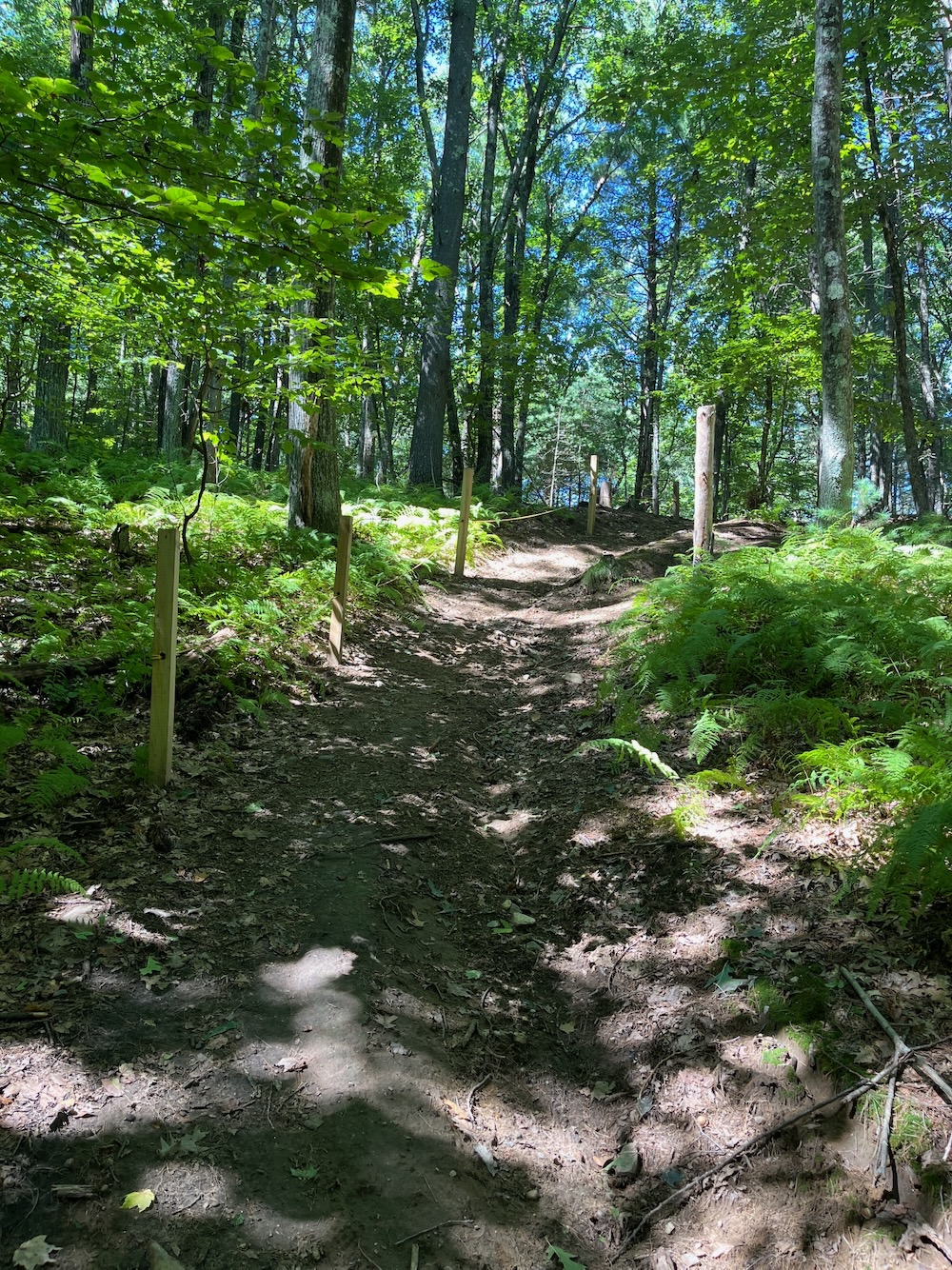
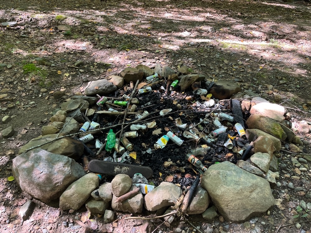
C’mon, Ellington youth!
And here I was, careening down one and then trudging up the other… just to get back to the dirt road from whence I came. I’m here to tell you that there’s really no reason to do this.
But I did it.
I then continued down the dirt road on a more gradual grade to the bottom of the hill and Aborn Brook again. From there, I picked up the orange blazes, crossed the powerlines again and had a rather pleasant walk through the woods, featuring stone walls and the babbling brook by my side. Doing the full outer loop here is a nice walk. Do that.
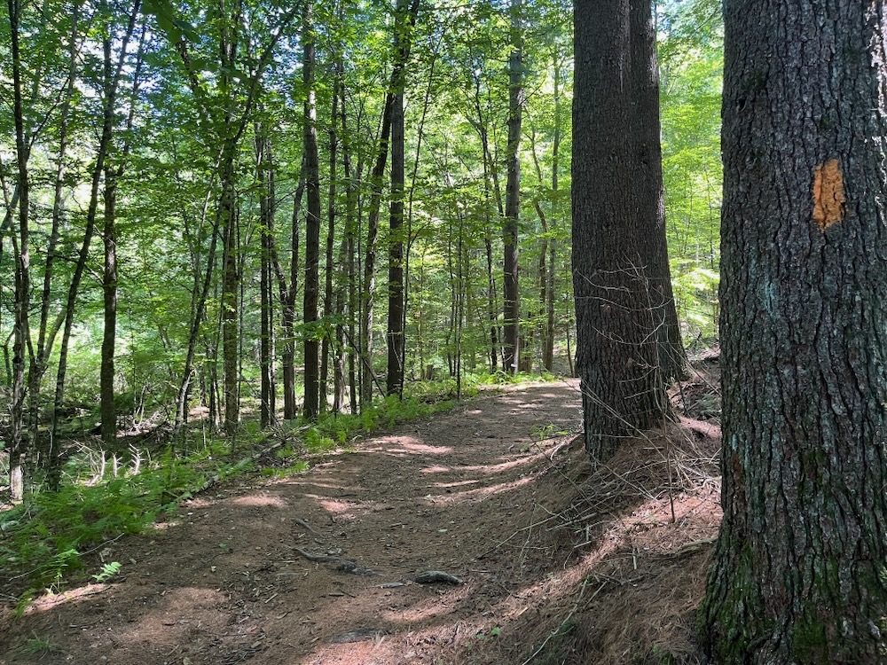
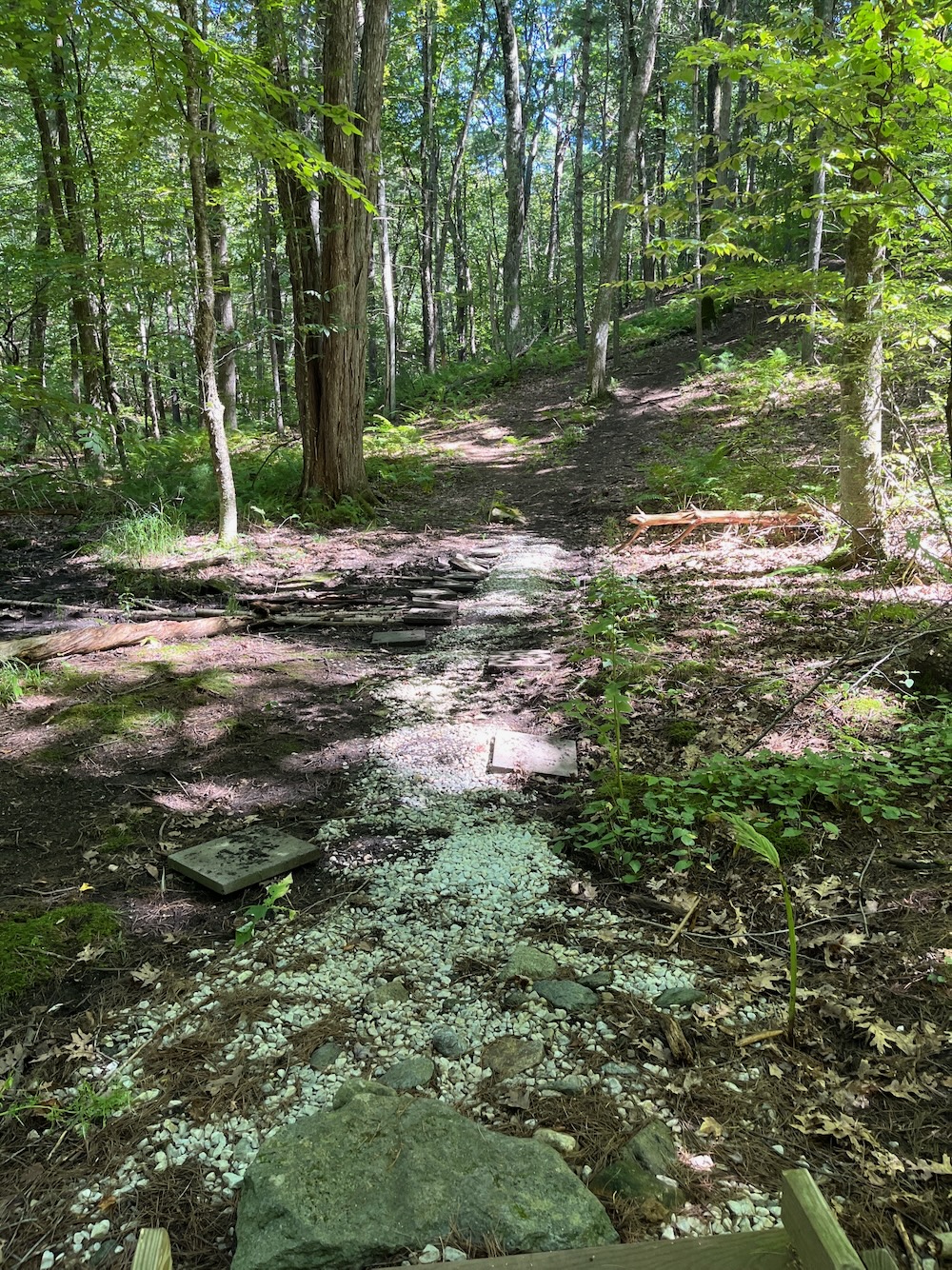
I missed a very short spur trail that apparently takes hikers closer to the brook, and found myself back at that resting bench next to the trail back out to my legally and precisely parked car.
As always, I’m glad these trails exist and it’s awesome the Zach kid extended the walking here from the original trail. But in the end, I think I made it crystal clear that some of the trails here were just… cleared, without much forethought.

Ellington Town Trails maps
CTMQ hikes Ellington’s Town Trails



Leave a Reply