
Sitting and Finding Balance
Balanced Rock & Sitting Rock Trails, Northern CT Land Trust, Ellington
May 2019 & December 2023
The original Boothroyd Preserve trail system here was expanded with the addition of the adjoining Bellante Preserve in 2019.
Ernie Boothroyd Nature Preserve
Balanced Rock Trail
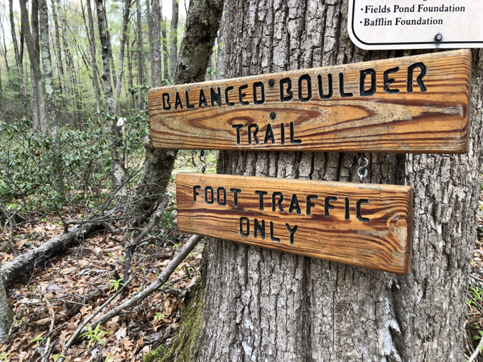
After finding the trailhead here, out in the far eastern reaches of the Ellington panhandle, I was immediately struck by how nice the sign was. It was clearly quite new, but the creator used some great fonts and the overall quality of it was impressive.

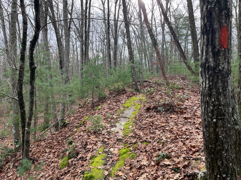
This being a Northern Connecticut Land Trust loop trail, I was curious if the hike itself would stand up to the signage. The loop is a lollipop red-blazed 1.2 mile loop, and it’s well marked and cleared. It’s another perfect little hike for little kids.
While you’re walking through the pleasant woods of Ellington, serenaded by birdsong as I was, perhaps you can spend time talking to your little kids about the preserve’s namesake, Mr. Ernest Boothroyd. The man was selfless in service and seemed quite keen on conservation and preservation. He passed away in 2005, and the following is from his obituary:
… He served in the U.S. Army during the Vietnam War. Ernie was active in town politics serving on the Charter Revision Committee, The Conservation Commission, the Public Safety Commission, the Forest and Open Space Commission, the Ellington Fire Department and the Ellington Ambulance. He enjoyed attending town meetings and believed strongly in common sense in government. Ernie volunteered many hours to the Northern Connecticut Land Trust working to preserve wooded areas for generations to come. Ernest also volunteered countless hours to the Hartford County 4-H where he served as Director of the Fair and at the 4-H Camp in Marlborough. His love of nature and of machinery was evident in all his activities with the 4-H especially his announcing of the Doodlebug Draw at fair time.
Good man.
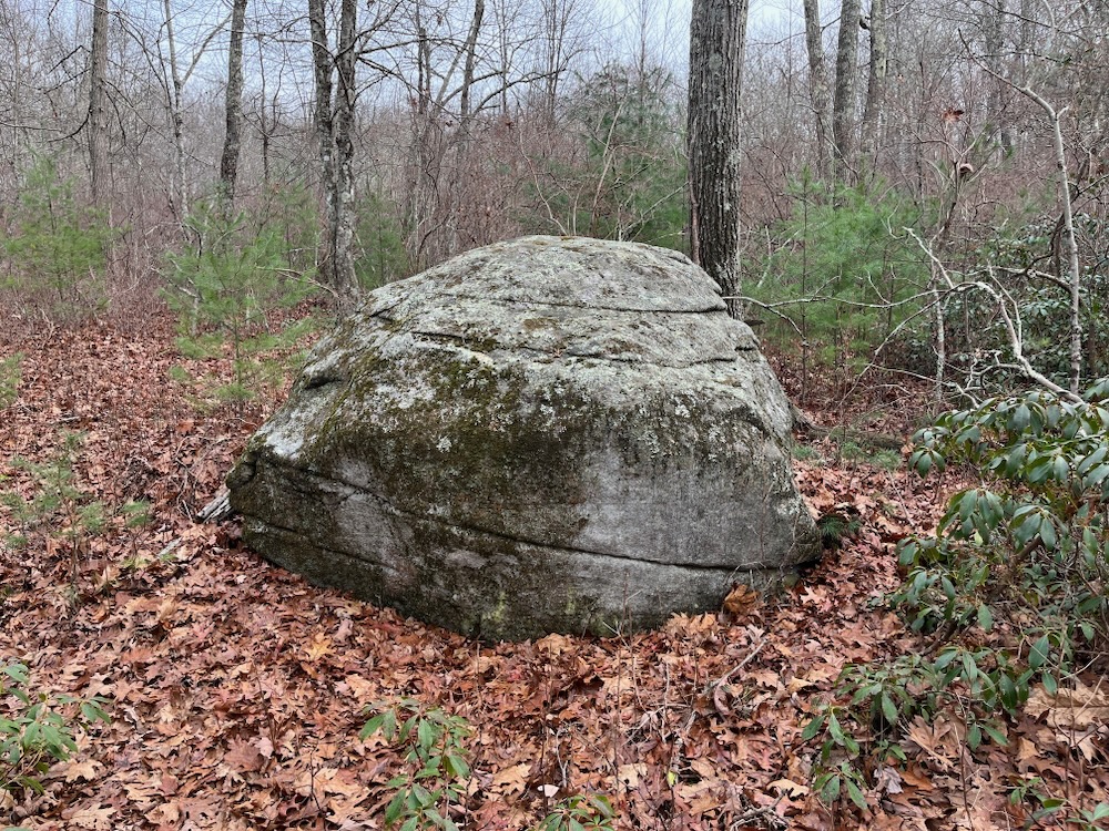
“His” preserve is a fun little place to poke around. I recommend hiking it counterclockwise, for then the “payoff,” the “balanced rock” we’re all looking for, appears towards the end. At least I’m pretty sure.
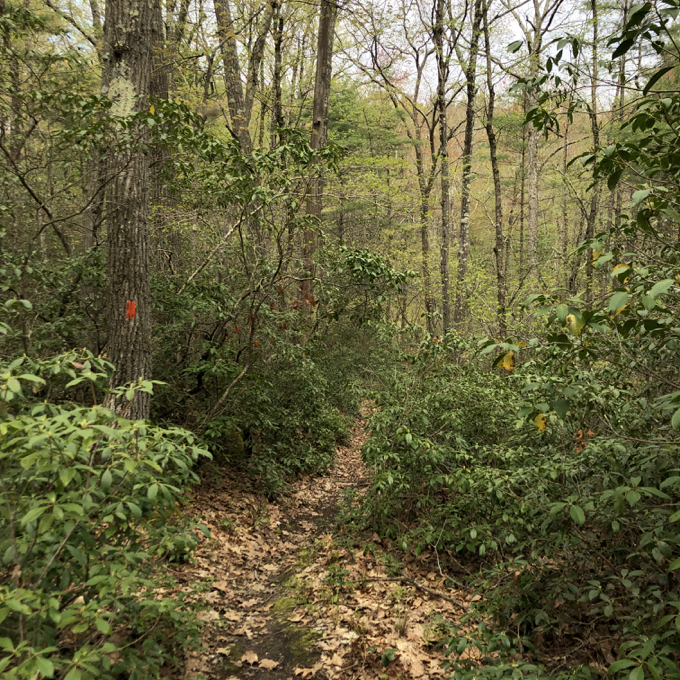
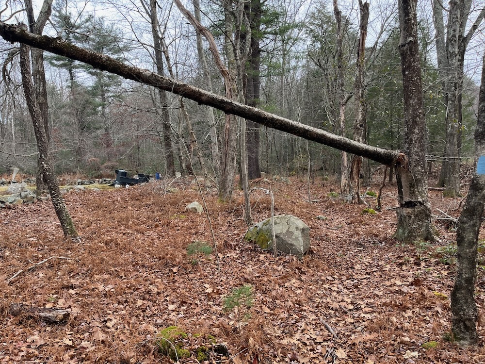
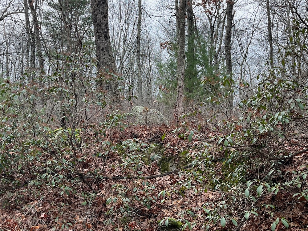
You see, the balanced rock of Balanced Rock Trail fame is… more or less just a big rock in the woods. Not knowing this while I followed the blazes through tunnels of laurel and near several rivulets and marshes, I kept taking pictures of all the boulders I passed.
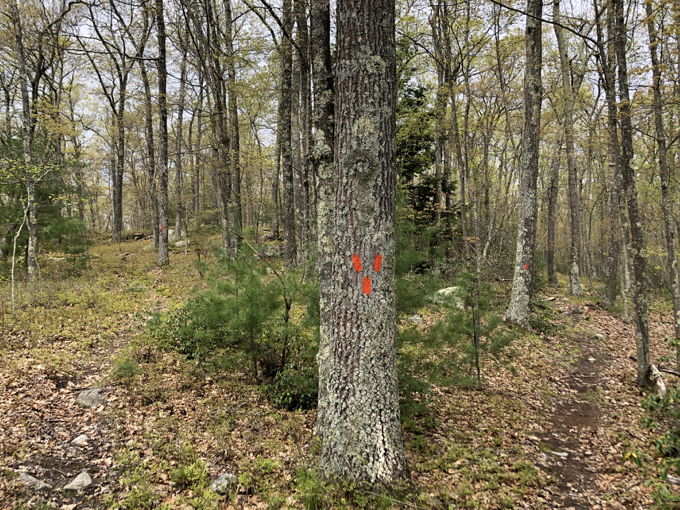
The trail makes a point of taking hikers by, to, and over every boulder on the property. It’s like a tease if you hike counterclockwise. “Did I somehow miss a boulder that was balanced?” I wondered.
I did not. After a few twists and turns, there it was. A rounded boulder on top of a small rise in the woods of the weird eastern Ellington panhandle:
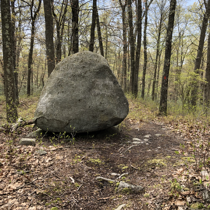
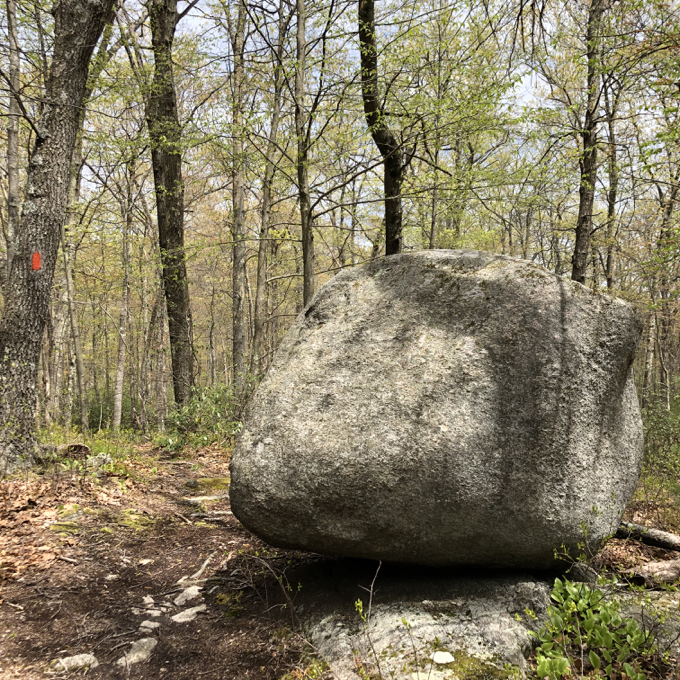
Bask in its glory!
I must admit some mild disappointment. But that’s all me – the trail is a fun little walk and feels quite remote. There’s more to see than the boulder – hey, you know what? It’s not so much “balancing” rather than just sitting there. It’s just the “Boulder Trail” and – let it go, man, let it go…
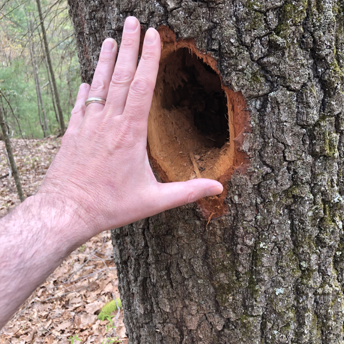
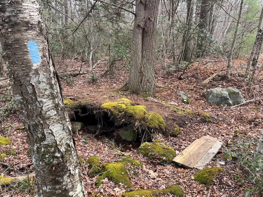
Check out this massive pileated woodpecker hole. These birds are masterful drillers. Some of their handiwork often looks fake, or impossible for a bird to create. But they do, and this is real.
I guess there’s a chance that I was too enamored with the woodpecker hole at one point and walked past a true balanced boulder… but I don’t think so. I don’t know why I’m so hung up on this. I enjoyed this trail very much and you will as well.
Little did I know that the NCLT was plotting while just as I published this page…
Bellante Property
Sitting Rock Trail
So… yeah. I joked that the “balanced rock” above was more just a “sitting rock.” And the next thing I know, the Northern Connecticut Land Trust goes and names the connecting trail in their newly acquired property “Sitting Rock Trail.” I see you, NCLT. I see what you did here.
And I love it.
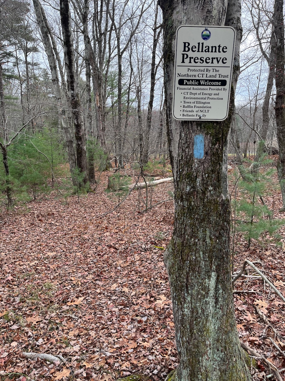
I parked on Route 140 just south of the Stafford town line. In late 2023, the parking area was also a school bus turnaround, but I believe the trail now has its own turnoff lot.
The trail is pretty much the same as the Boothroyd, just west of it. Lots of laurel, lots of blueberries, and lots of boulders. Boulders that just… sit there. (Isn’t every boulder a “sitting boulder?” What else do boulders do?)
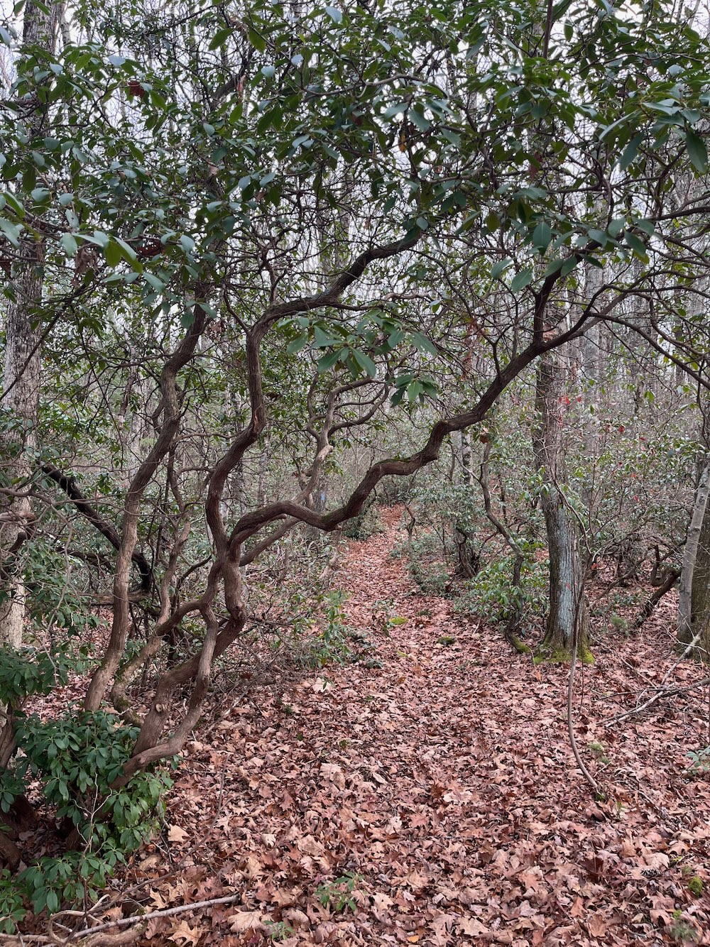
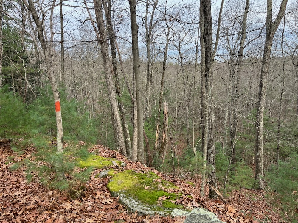
The first minute or two of trail here appears to be an easement between properties, but then splits and loops around, using the previously existing western chunk of the trail described above as its eastern chunk. I enjoyed re-hiking the orange-blazed bit, as it’s a really nice stretch that takes you along some long exposed rock stretches. It’s the kind of trail that just looks better with heavy cloud cover or even rain; mosses, lichen, ferns… that sort of thing.
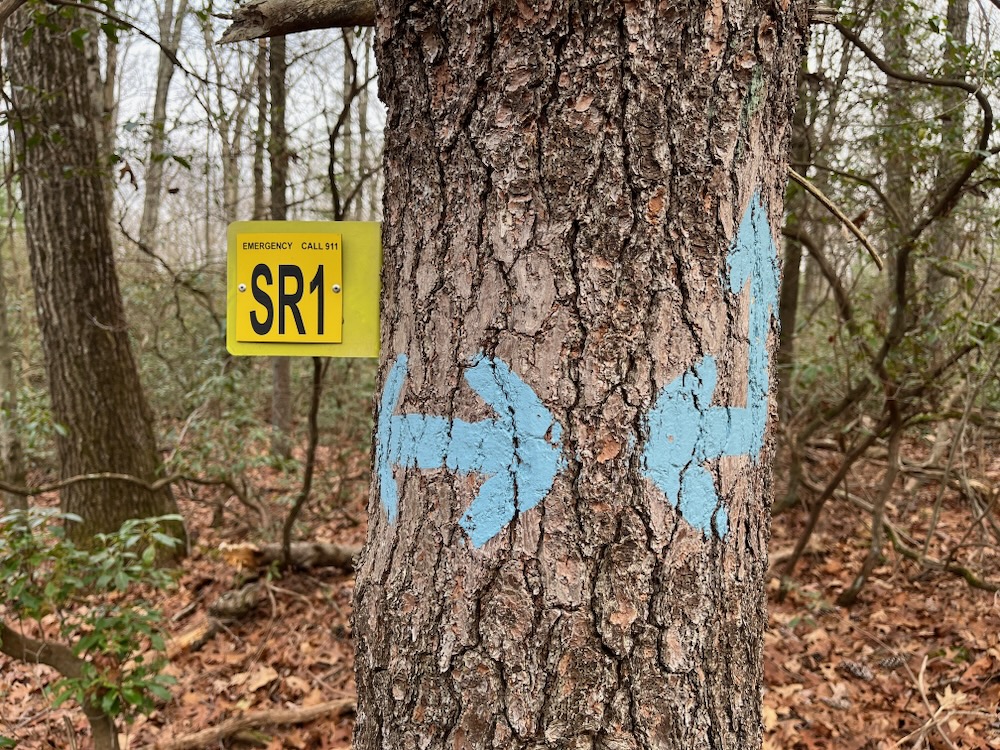
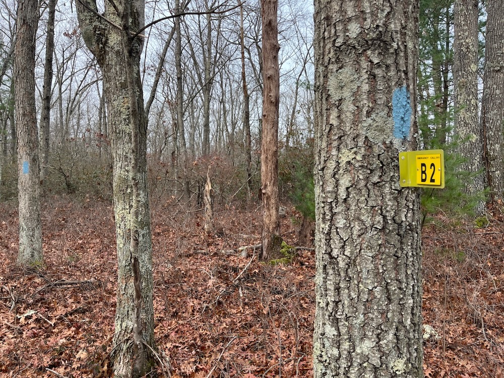
There are a bunch of weird “SR emergency 911” signs all along this trail at every intersection. I’ve never seen them before in my life and have no idea why they’re here. There’s nothing remotely dangerous about this hike.
Once I’d looped around and was nearing the extension back out to the road, I came upon a chair blocking what appeared to be the original trail’s path. Okay. Whatever. Flooding, property rights… stuff happens. Except… except I thought that the trails “sitting rock” namesake was along the closed section! What was I to do?!

Chair blocking trail: universal sign for closed trail
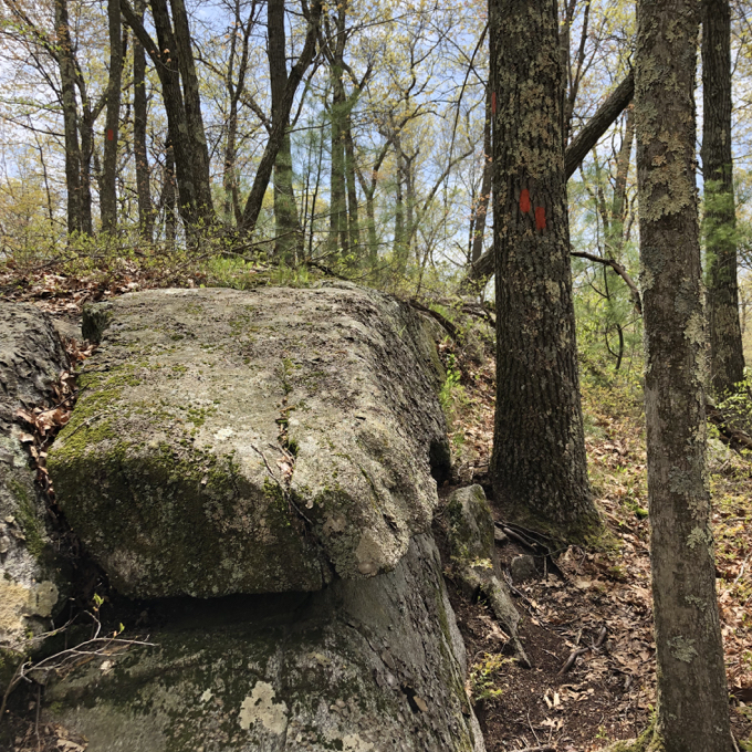
I really do think that rock sitting up there is Sitting Rock!
I was to keep following the cleared and blazed trail and hope to pass a rock that was sitting in the woods.
And I did. Here:
Just sitting there. Not going anywhere.
Except, once again, I don’t really know if this is the eponymous sitting rock! The trail description says
Shortly before the vernal pool is a little clearing on top of a knoll. In the clearing is Sitting Rock, a small boulder with a flat top that overlooks the woods below. It is a pleasant place to rest and contemplate the beauty of nature.
Regardless of which rock you see on either trail, the irony here is that the rocks are secondary to the laurel tunnels and mossy paths. Both Boothroyd and Bellante are pretty little preserves that make for quick hikes that would be great for little kids.
Just don’t overpromise them that they’ll see some crazy gravity defying boulder. Kids don’t like being lied to.
![]()
Northern Connecticut Land Trust
CTMQ Hikes the NCLT Trails
CTMQ’s Land Trusts Page
 Joan E. Landers says
November 23, 2019 at 6:03 amDo you know why Ellington, CT has the pan-handle as you call it? Bet you don’t, but I do. It has to do with Ellington’s early history.
 Steve says
November 23, 2019 at 8:30 amJoan – I’m afraid you’d lose that bet! The “panhandle” is the “Equivolent Land” granted to Ellington in a border dispute in the early 1700’s. More on this page about Ellington’s odd shape.
 Joan E. Landers says
April 1, 2021 at 7:03 pmTo Steve: In reference to both my comment and yours above, many years ago I was told by my aunt who grew up in Ellington, and whose mother, my grandmother, was born in the center of town, and probably also by my aunt’s maternal grandmother, that the very early inhabitants of Ellington wanted a river, so that they didn’t have to travel to the Connecticut River to be able to fish. Ellington’s narrow eastern border contains a portion of the Willimantic River and also borders Willington’s border with the river.