Tinkering Around
Nod Way Trails, Avon Land Trust
September 2026
This is an Avon Land Trust property.
I hiked this property in 2012, but I’d been tinkering with the idea of revisiting the trails for a few reasons.
For one, they’re very near my house, so why not? Two, the Avon Land Trust has improved their maps and their trails exponentially since my initial visit. And three, my 2012 page was awful, with incorrect information and blurry pictures.
No, that does not mean I’ll be revisiting and rewriting every page on this site with incorrect information and terrible pictures. If that were the case, I’d never see anything new.
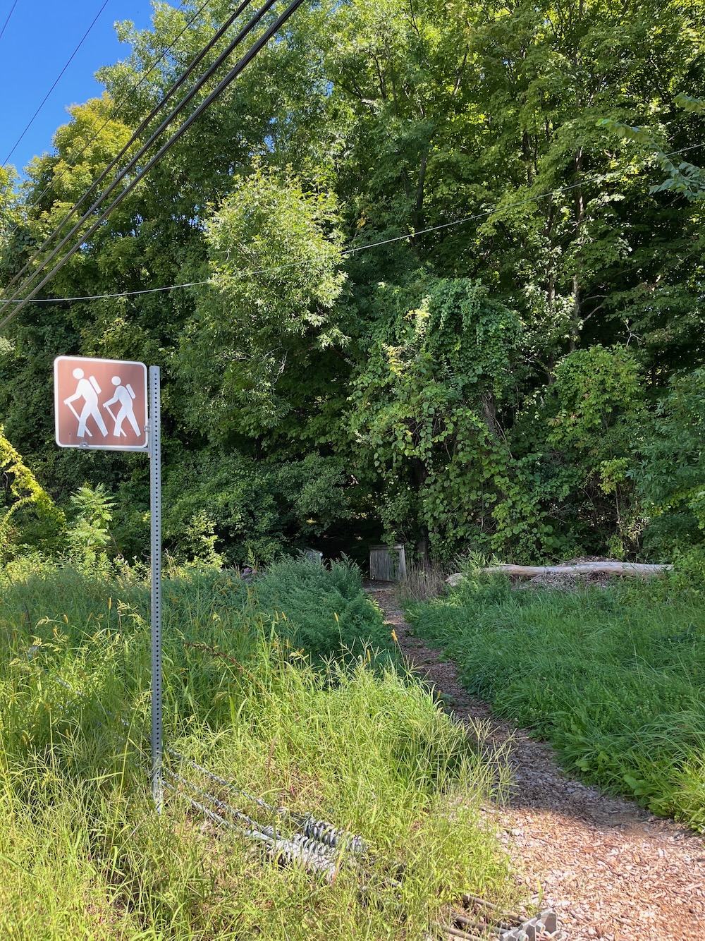
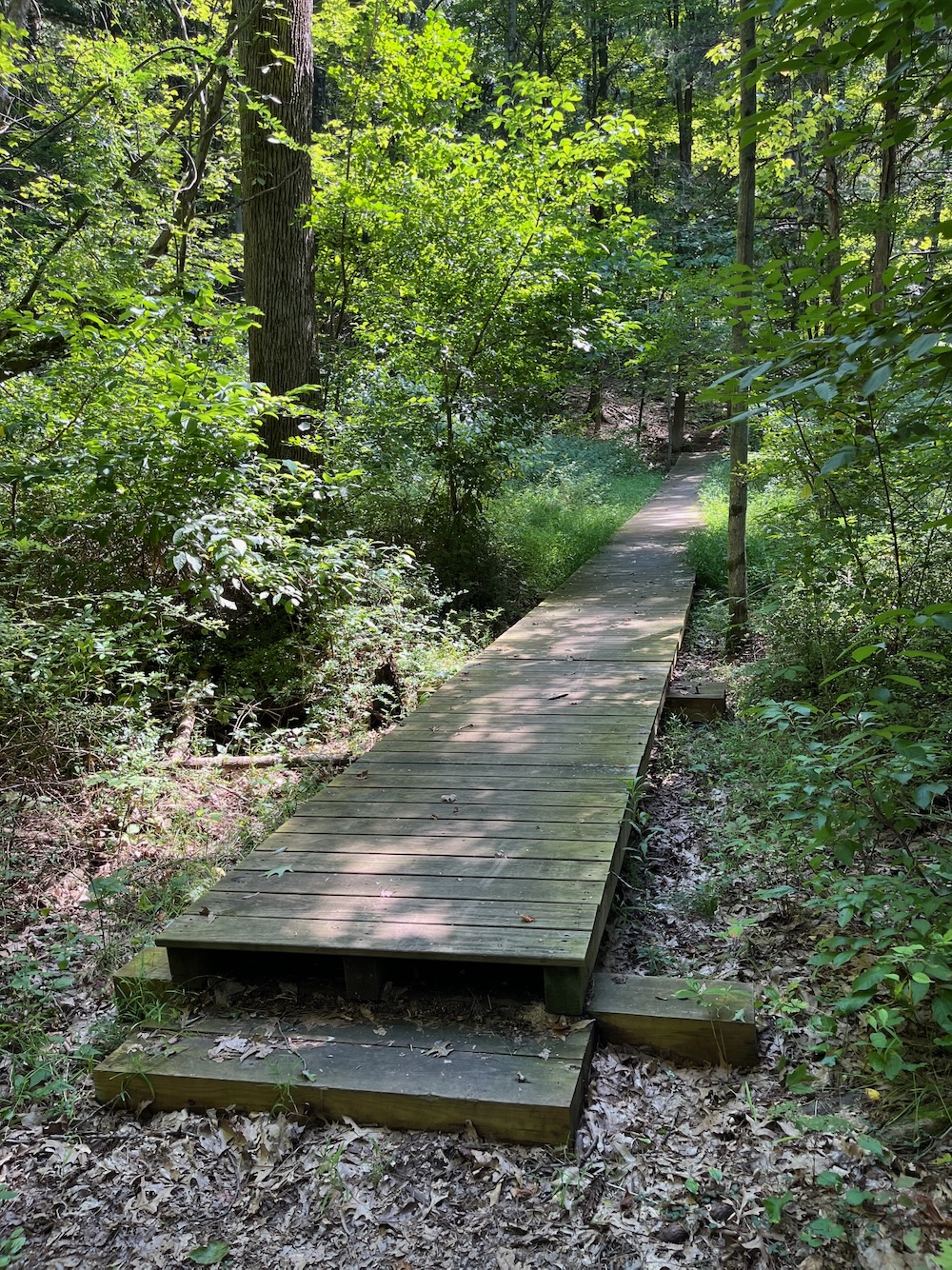
This trail did not have a proper trailhead in 2012. It does now, right on Nod Way with a sign and a welcoming little bridge and everything. You used to have to park randomly in a condo complex and then find and walk straight up a “grassway” which I believe is a natural gas line cut.
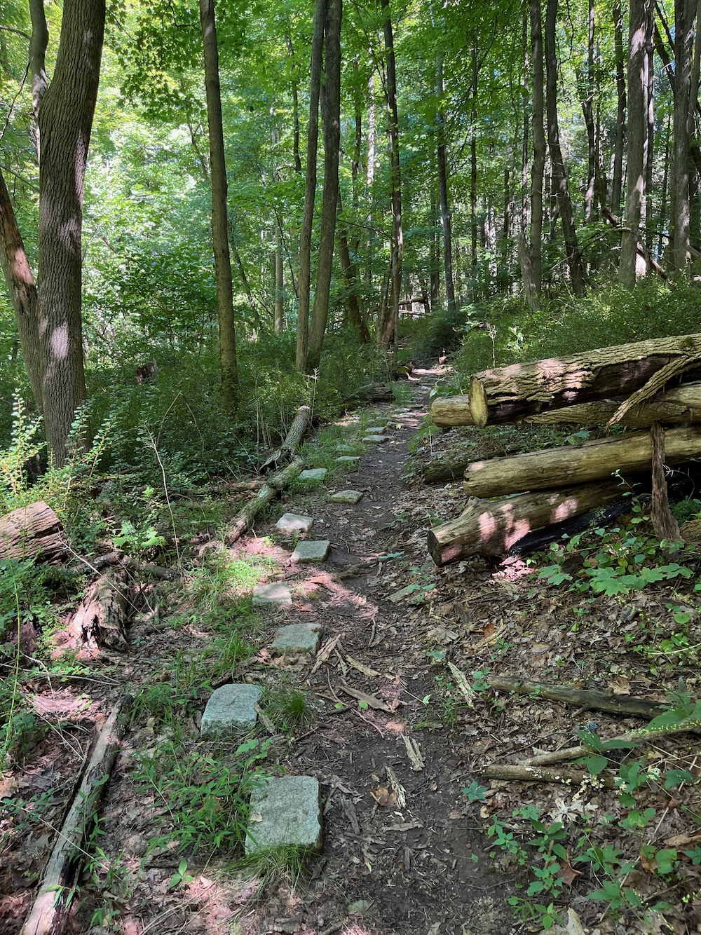
Avon Land Trust has put in a lot of trailwork since my last visit here.
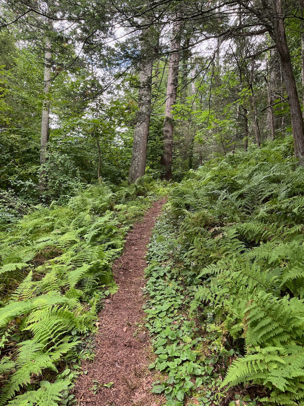
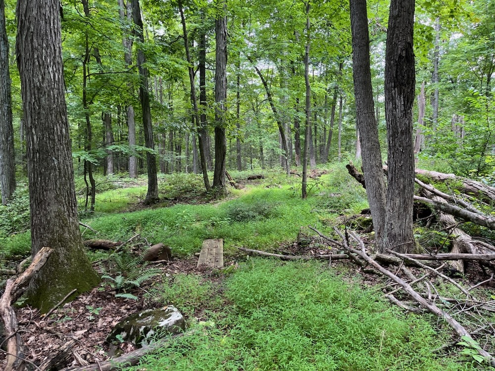
So that fun is gone and now there’s a proper trail with proper bridges that threads the needle behind houses and condos. You barely notice them with summer foliage. What you do notice is a fern-filled gully and what is, quite simply, a rather beautiful introduction to these trails.
Then you cross that “grassway” and there’s now a nice kiosk and away you go, off to explore the “backside” of Talcott Mountain.
There are several options. You can head north (and up) towards the Hazen Park Trails, Talcott Mountain State Park, and Heublein Tower. Heck, you can link up with the Metacomet Trail going that way and pretty much go anywhere from there, time and fitness depending.
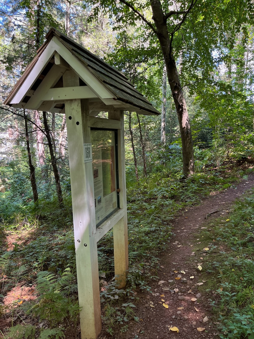
Or you could stick to the Nod Way Trails, of which there are three loops and a trail that connects to all the stuff in the previous paragraph. Each loop takes you further south towards Route 44 – and each further out loop is less traveled and therefore less well defined.
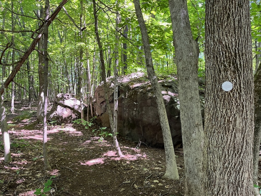
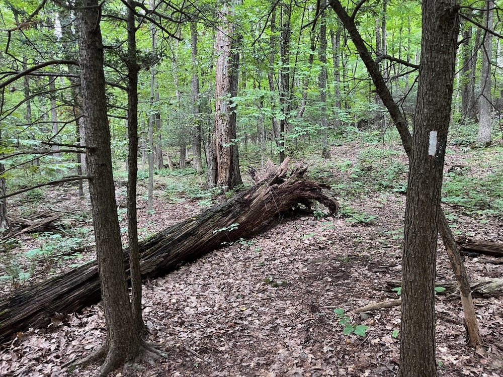
The white-blazed Garvin Trail is the main path here and it clocks in at about 2 miles and is, on its own, a nice little jaunt in the woods. The late Garvins were longtime residents of Avon and shared a love of nature and the conservation of land. Robert Garvin served on the trust’s board of directors in the 1980s.
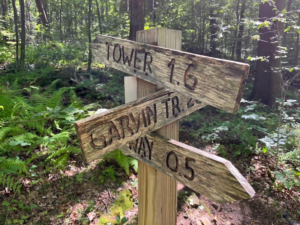
There are several massive wolf trees along the way – this land was grazed by cattle back when Avon was founded, and those trees likely served as property boundaries since they were not chopped down. In fact, one of the town’s founders, Amasa Woodford, owned this land in the early 19th century.
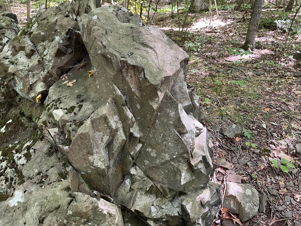
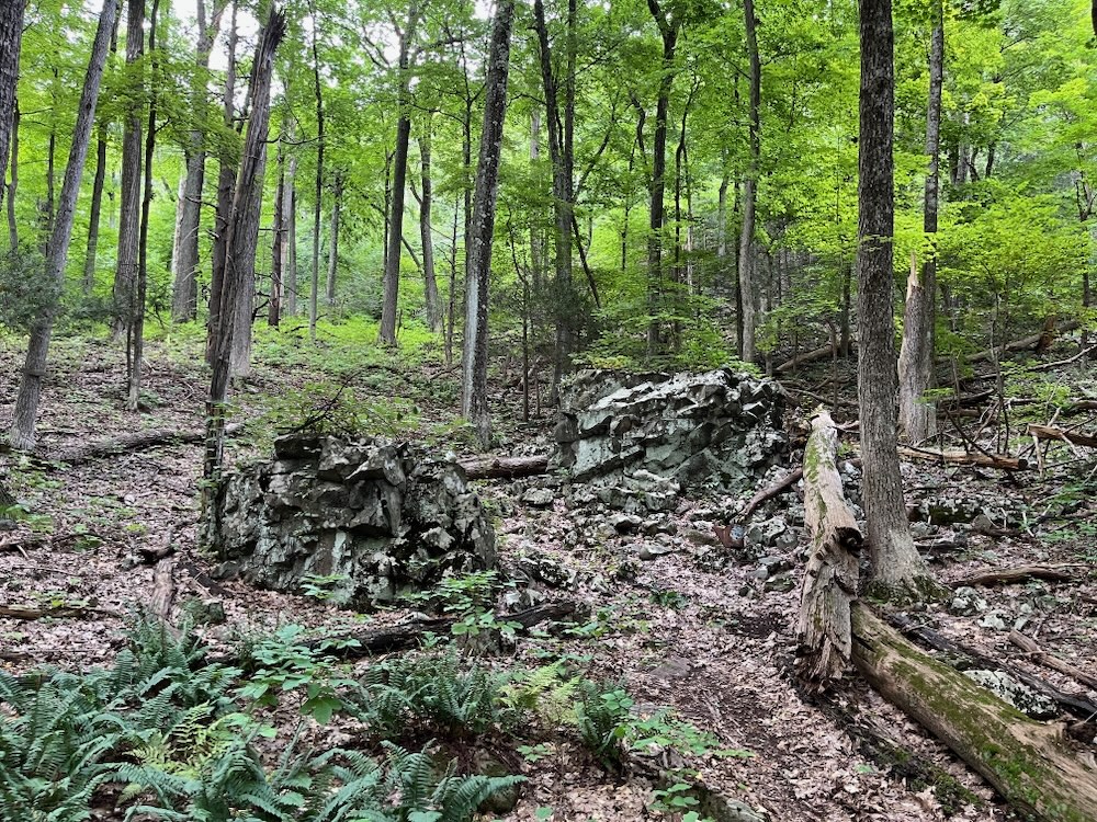
There are also some really interesting boulders and talus here. The Metacomet ridge that looms above this entire Nod Way Trails network is traprock basalt. I always think of the rocks as mostly cubic, so when a giant chunk with clear volcanic origination is lying in the woods below the ridge, one takes notice.
As I moved towards and on to the blue-blazed Maher Trail, I took notice of the various mushrooms and Mycoheterotrophs. Yeah, that’s right. Mycoheterotrophs.
At least I think so. I’m familiar with ghost/Indian pipes, but less familiar with their cousin pinesap. (Pinesap has multiple flowers per stem, ghost pipes do not.) These are not fungi, but are parasitic chlorophyl-lacking plants that gobble up fungi. And they are rad.
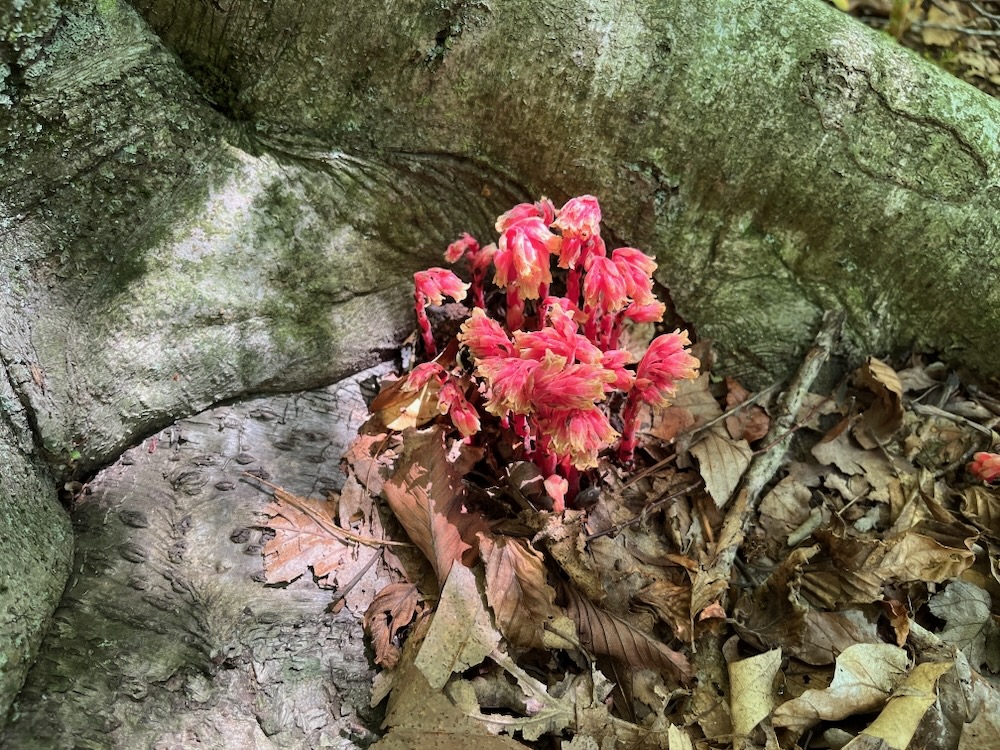
Pinesap. I think.
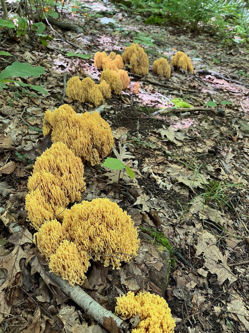
Coral fungus. I believe.
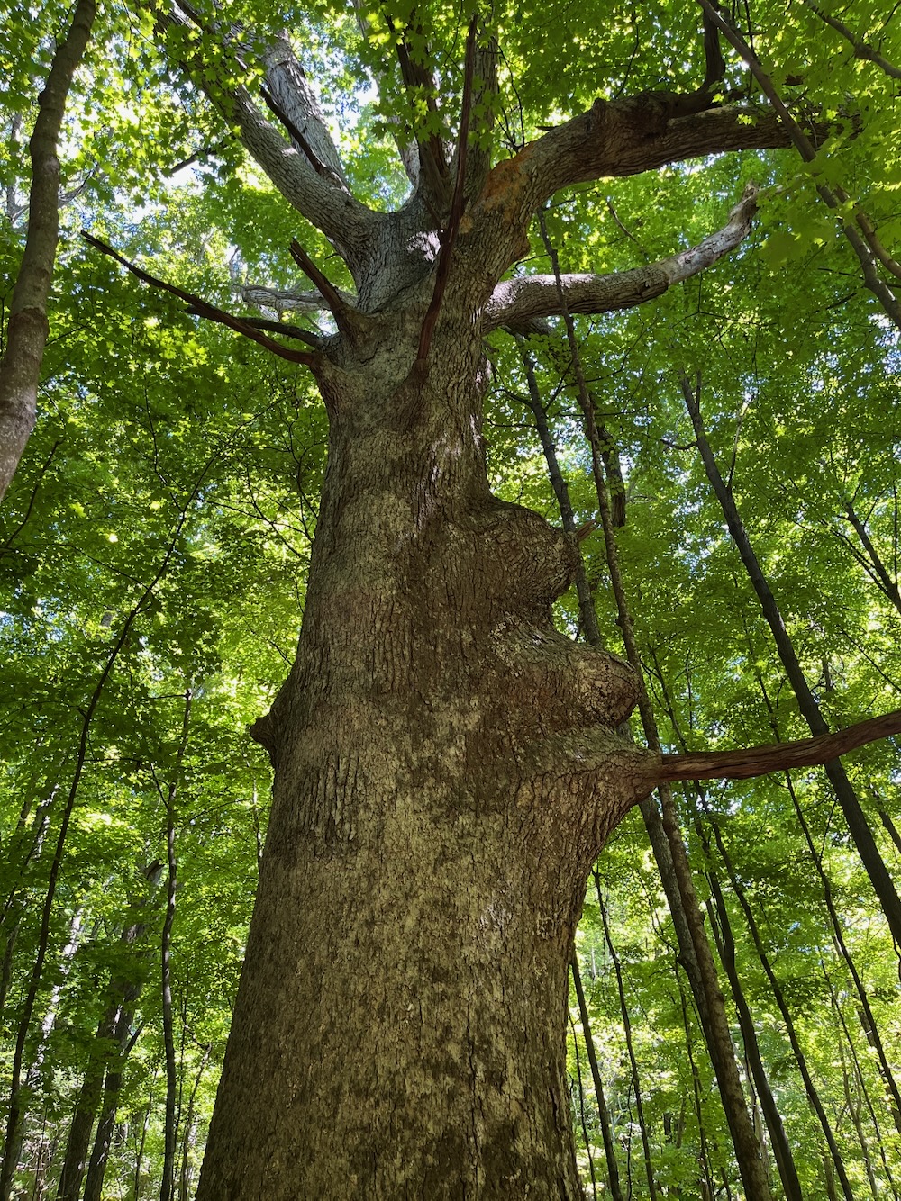
The Morganti Family Tree
Before heading down the Maher Trail (named in honor of the late Ruth Maher, a teacher, editor, and writer of the trust’s newsletter), I continued on the first loop to see the Tom Morganti Memorial Tree. I figured it would pop up the southern edge of the white loop to see the Tom Morganti Family tree.
It’s a really big tree with a little plaque on it.
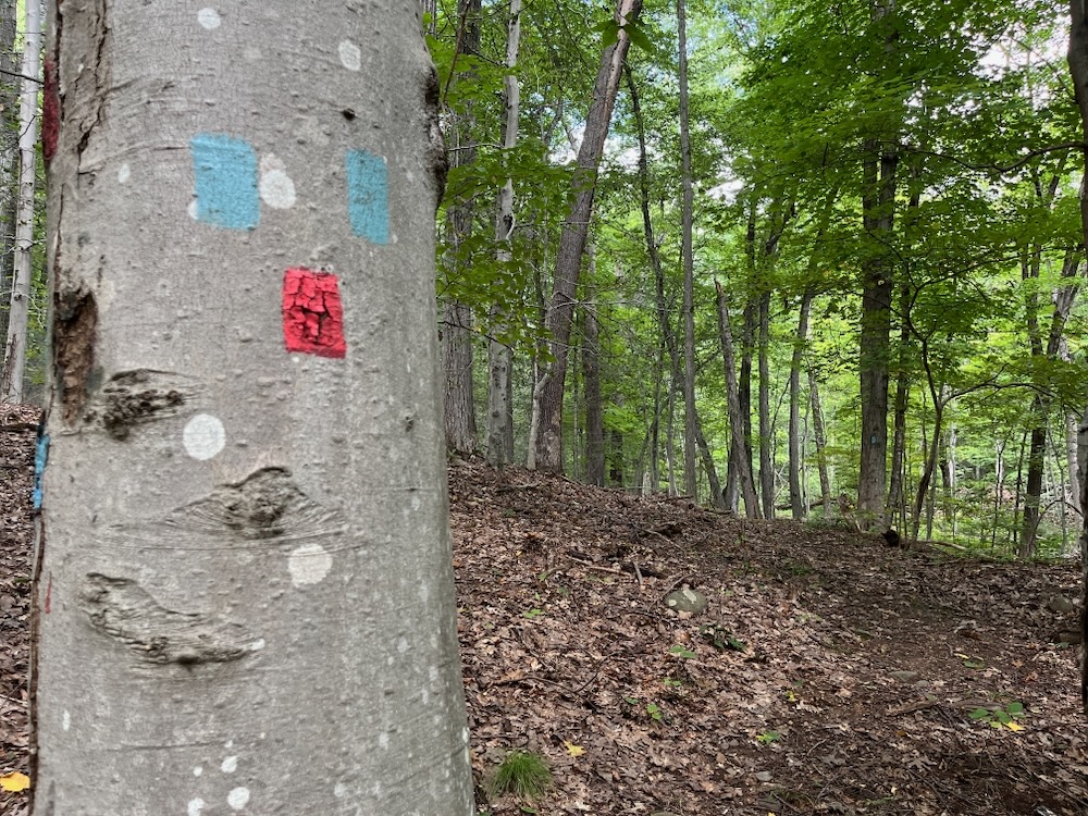
The blue Maher Trail took me to the red-blazed final looping trail. This existed in 2012, but didn’t have a name. It is now the Spring Trail. When I walked it, it started with a broken bench and a turn back down the hill to a little open marshy area.
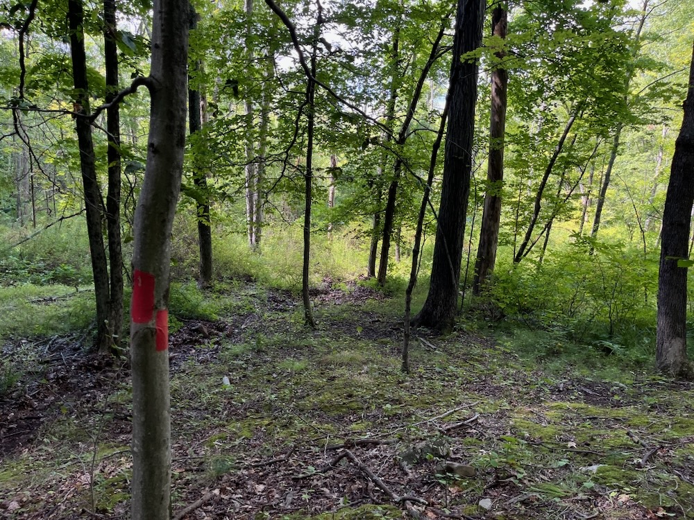
The physical trail isn’t very well defined through this area, as I don’t imagine too many people make it out to here. It’s blazed well enough, you just need to keep your eyes peeled now and then. You can see Route 44 for a few minutes too, as the trail begins climbing again before heading back north.
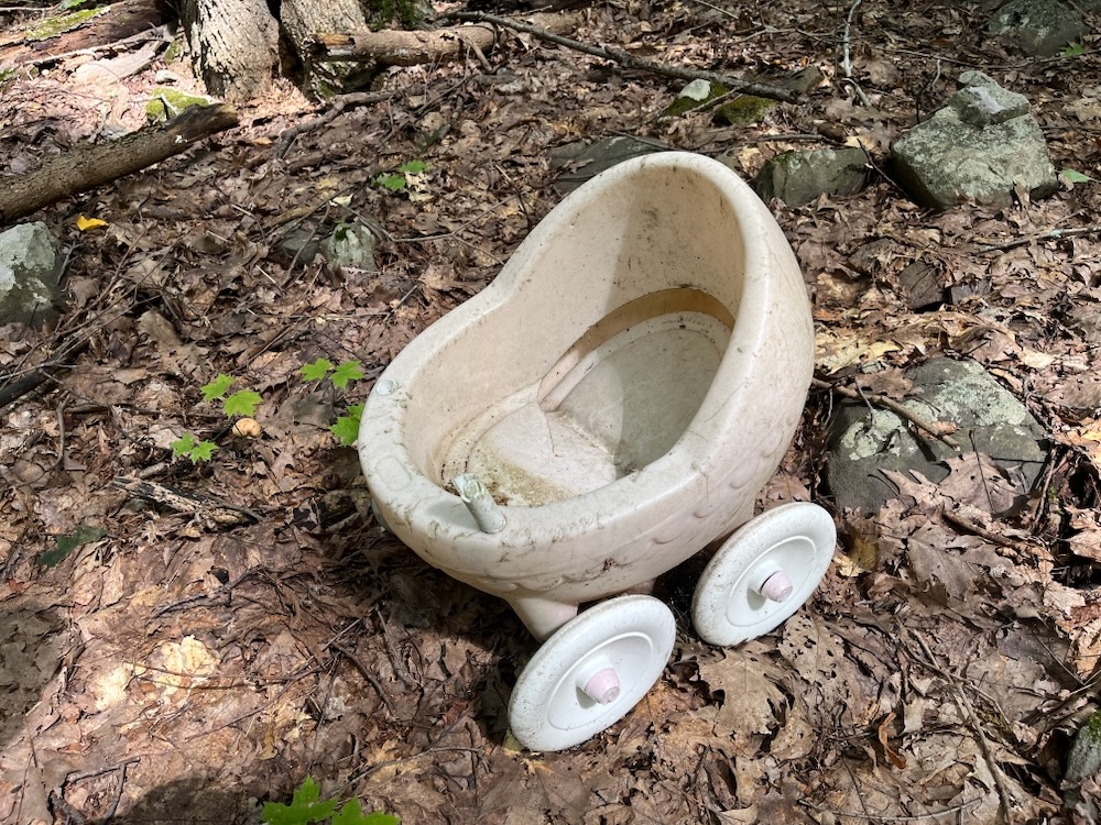
I again lost the trail for a minute here, but found my way back to the Maher Trail soon enough. I don’t know why there was a weird tiny toy stroller here. I should note that there are several stream crossings without bridges and I imagine if you make this trek after heavy rains, you’ll need to be both careful and spry.
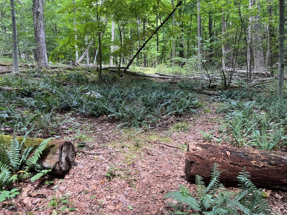
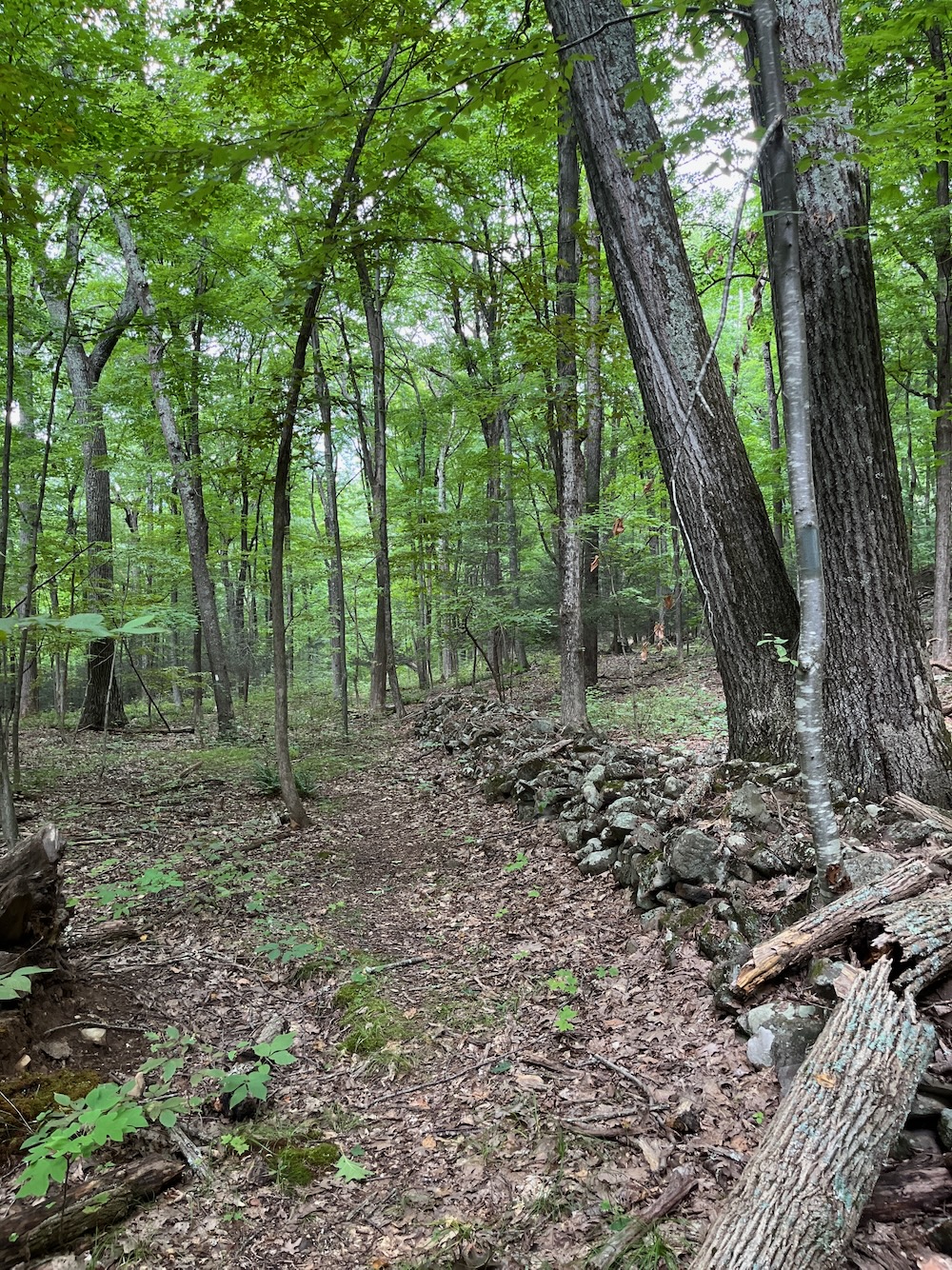
I followed the blue blazes north, always with the imposing Metacomet cliffs to my right. Here, the old stone walls are followed and if you pay attention, the wolf trees-as-boundaries are pretty apparent, and the different types of ferns along the way are nice.
Now back to the original white-blazed Garvin Trial, I was eager to visit Tinker’s Midden. Back in 2012, it was dusk and I was young and dumb(er) and didn’t go to the actual midden.
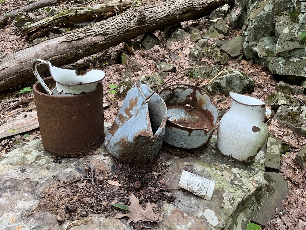
A midden is an old dump for domestic waste. It may consist of animal bones, human excrement, botanical material, mollusc shells, potsherds, lithics, and other artifacts and biofacts associated with past human occupation. Here, there is a bunch of broken glass and some pottery shards and stuff.
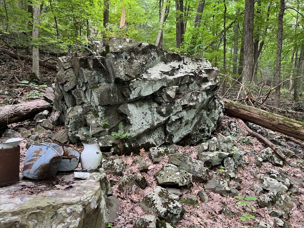
People have created a fake midden at two more large traprock boulders and… I guess it’s kind of cool. In 2010, The Hartford Courant wrote:
In the shadow of Talcott Mountain sits a place called Tinker’s Midden. According to local lore, it was a place in a hollow along the 13-mile spine of trap rock that runs from Farmington to Simsbury where a tinker worked. And judging by the rusted thingamajigs and thingamabobs in his midden pile, it’s not exactly clear what he did up there.
Shortly after that short side trip, the trail closes its loop and hikers have a couple options again: continue north to Hazen Park and/or up to the Tower or head back down to your car if you left it on Nod Way.
Which is exactly what I did.
This is a fun hike for locals. It doesn’t have the cache of Hazen Park just to the north, because Nod Way isn’t directly associated with the ridge and Heublein Tower. But if I know anything, it’s that CTMQ is never about “cache.”
It’s about simply doing it all.

Avon Land Trust
CTMQ’s hikes Avon Land Trust trails



Leave a Reply