Still There, Still Hikeable, Still Brook
Still Brook Open Space, Simsbury
November 2024
I’ve lived in West Hartford since 2001 and in that time, I’ve seen my town sell every available acre to developers. At the same time, I’ve seen nearby Simsbury spend town money on protecting open space and woodlands from development. The difference is stark.
The towns were quite similar a hundred years ago, but are no longer. That said, Simsbury has certainly grown and does add housing stock. A few of the town’s trails that appear in guides just 10 or 20 years ago no longer exist.
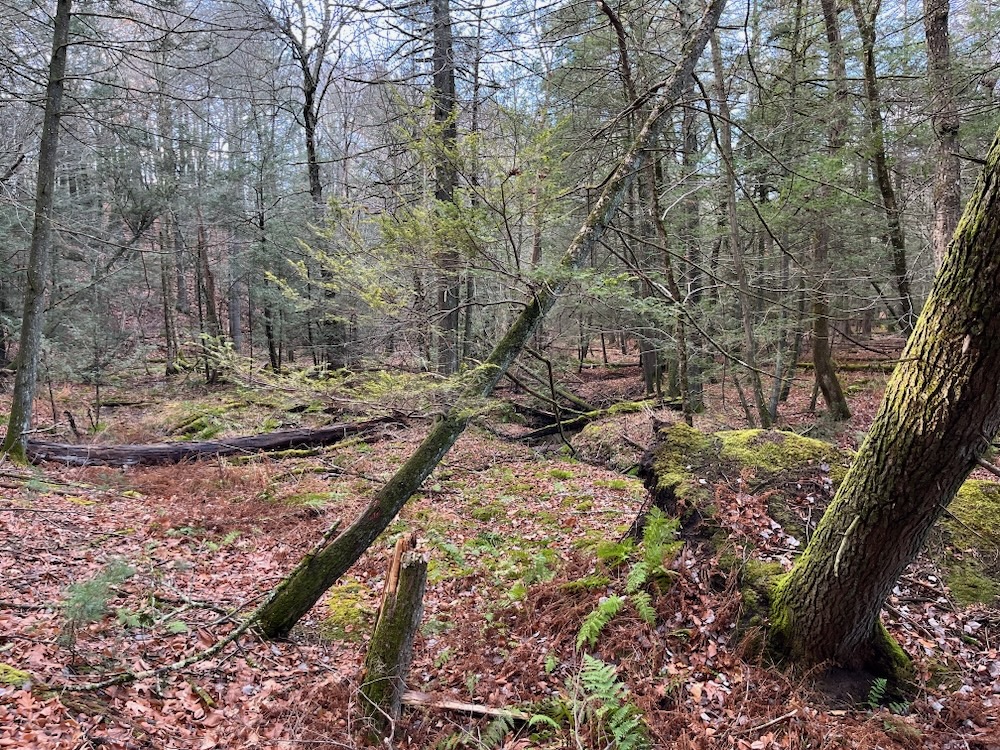
I figured that would be the case for the Still Brook Open Space, as it doesn’t seem to appear in any recent publication or on any municipal website anymore.
But that’s why I’m here. It’s for these forgotten trails that CTMQ exists. I live for this stuff.
What stuff? The “Driving to a trailhead of a trail I really didn’t think would still exist and finding that not only does it exist (more or less), but is clearly still cared for by someone or some entity”… stuff.
Yeah. That’s the stuff.
Now, not all of the trails on the old map still exist and, as you’ll read, many of the trailheads are now in people’s yards. But that’s okay, because you can still escape into these woods for a surprisingly wild experience.
The town-owned Still Brook Open Space consists of 47.5 acres of mixed coniferous and deciduous forest between Stratton Brook and Sand Hill Roads, and contains about 1.1 miles of a seasonal stream called Still Brook. The 2.5 miles of trails provide a variety of walking experiences and surfaces. All of the trails as they leave the streets are paved for varying distances with stone dust or asphalt, then continue as unimproved trails.
If you know Simsbury Open Space, you know they feature little stone pillars at trailheads. Like this:
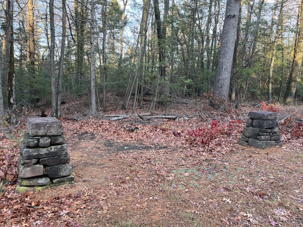
And this:
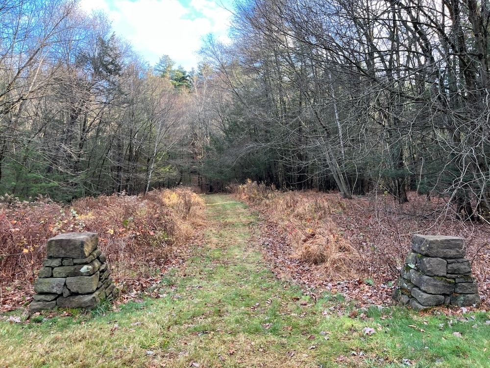
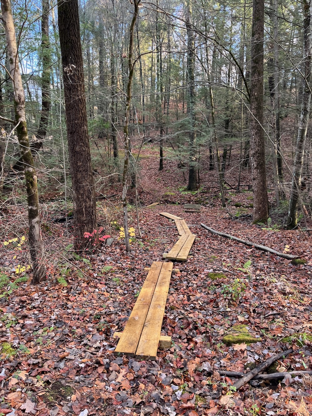
This second set is where I excitedly hopped out of my car and hit the trail – right on Aspenwood Road. Now, there are two Aspenwood entrances according to the old map, but one of them appears to be someone’s yard. Anyway, the trail here was clearly cared for, so I tentatively began walking down it. Then I saw there was a little bit of bridgework. “Hey,” I thought, “this place may still be hikeable!”
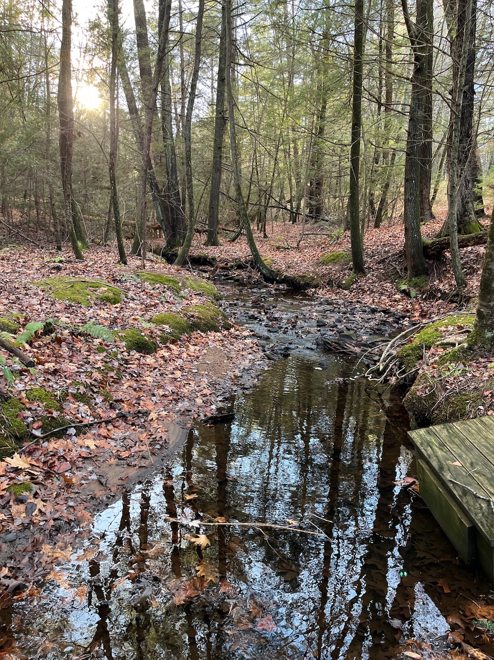
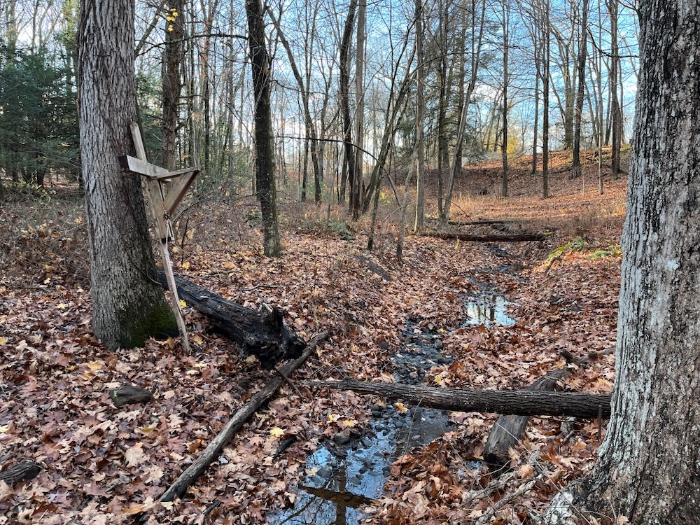
The open space is generally lower than the surrounding neighborhoods, with steeper paths on entering which level out as they parallel the brook. Despite their close proximity to the residential neighborhoods, the trails are refreshingly quiet and private. There are six wooden footbridges across Still Brook and three boardwalks where the trail traverses wet terrain. Bordering the brook visitors can see distinct belts of vegetation. The belt of skunk cabbage edges the stream with a belt of cinnamon fern above it. The wetland also contains a variety of tall grasses. This area is home to deer, raccoons, chipmunks, and grouse.
After crossing Still Brook, I went left. Unfortunately, this foray didn’t last long, as the trail simply went up to another neighborhood entrance on Tallwood Lane and the trail that was supposed to go for much longer to the eastern portion of the property simply didn’t exist. I’m sure vestiges of it do, but there’s no point in trying to find that. I turned around and headed into the rest of the forested open space.
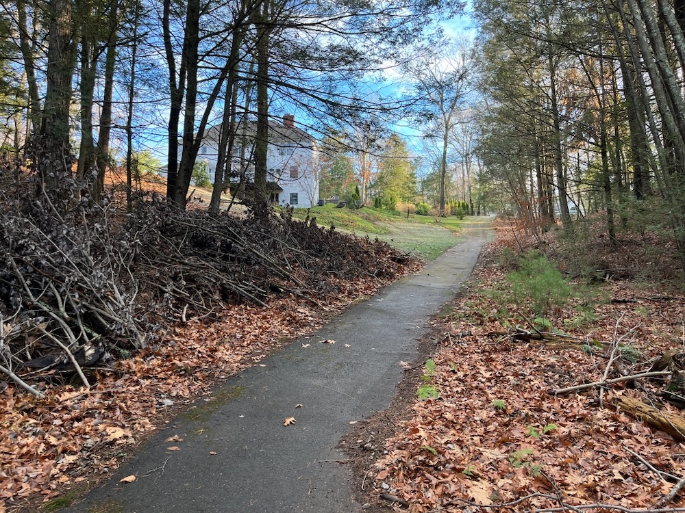
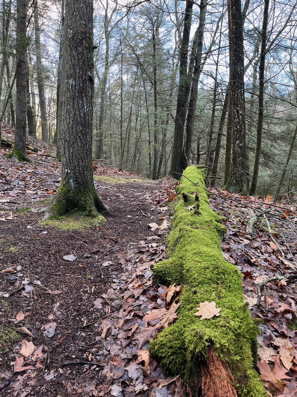
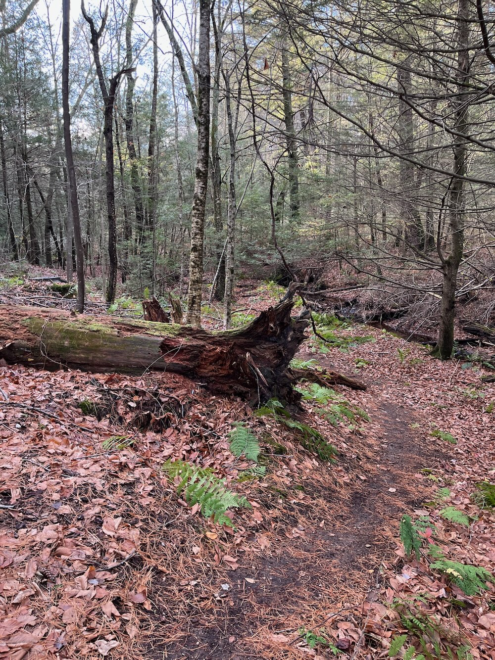
Most of the trail west along Still Brook is in good shape in 2024. In fact, it’s quite nice. Down in the little valley behind all these large houses is amazingly quiet. Freakishly. It’s like a portal into a different realm from the manicured backyards all around.
Imagine my shock to round a bend and see a guy and his dog on this trail! He silently stepped aside while his large dog silently stood beside him. I said some pleasantries and he said nothing in return. Weird.
Is this “his” trail? He walks it every day with his dog and hasn’t seen anyone else on it for years? Let alone a person he’s never seen around the neighborhood? Perhaps. Well, to that guy I say “phooey on you.” I found this trail, it used to be in an official Simsbury Trail Guide, and not only am I walking the thing, I’ve taken pictures and now I’m writing about it for all the world to read and descend upon this little tucked away area of town. So there.
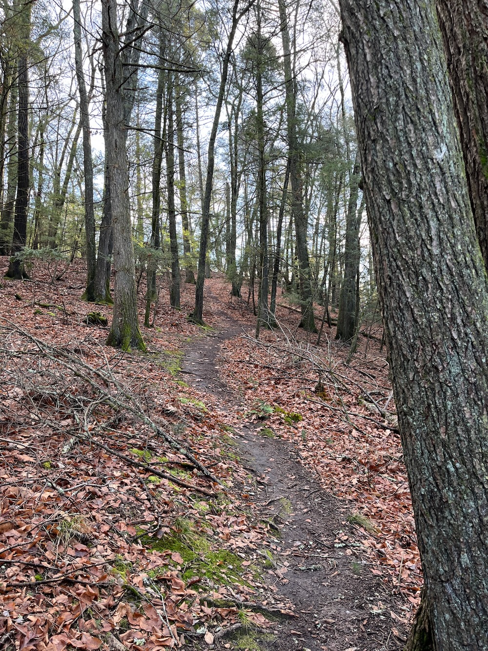
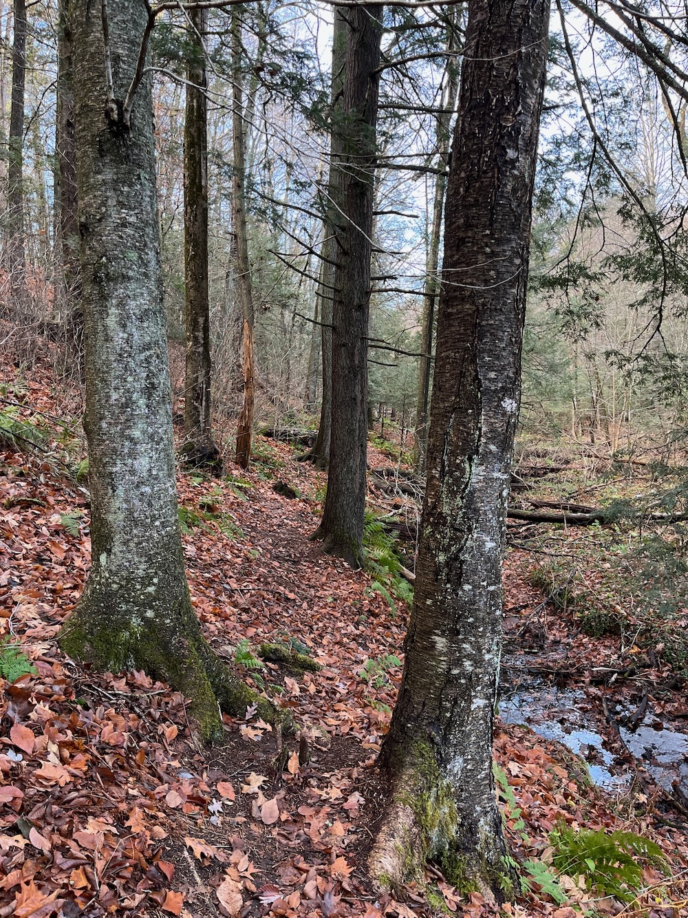
With each passed side trail up to the streets the trail became less defined. Not disappeared, but certainly less traveled. I followed it to the western end, hoping to pop up onto Aspenwood again and then just walking along the road for a bit back to my car. I ascended one of the offshooting trails and not only found myself in someone’s backyard, the owner was milling about doing yardwork. It was uncomfortable.
Like, this trail exists for the locals to walk their dogs and get some exercise. That’s it. It’s not really here for you and me, but it IS public open space and we ARE absolutely welcome to take a walk here. But I’m just not going to crash through yards, so I retraced me steps all the way back to my car.
All in all, I walked just over a mile total. This is a really cool little property and while I’m sure none of you will rush here, you should. Just to show that dogwalker guy we can.
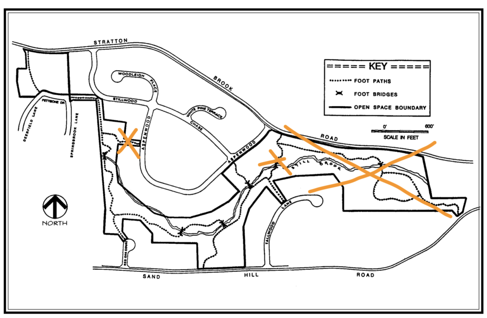
I’ll even provide an updated map for you to do just that:




 Dan Rapoport says
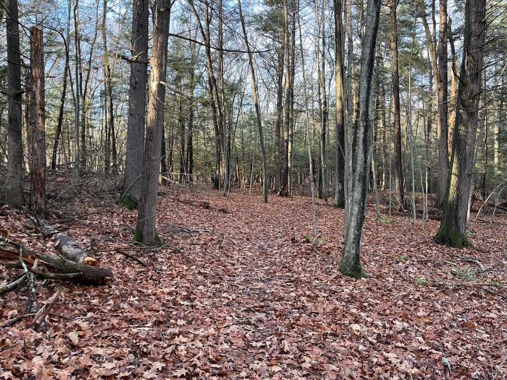
November 16, 2026 at 9:11 pmJust ran across your site. That entrance on Aspenwood is not someone’s yard, it’s just a common area right next to Aspenwood that the locals maintain ad hoc to keep it (somewhat) nice looking and make it harder to pick up ticks from the weeds and tall grass that would normally fill it (and there ARE ticks!). I THINK the trails were originally built as a requirement to leave 10% or so of the area undeveloped when the “Stillbrook” neighborhood was built in the early 1990s. The trails were groomed and gorgeous originally with gravel on the paths and wooden bridges over the stream and swampy areas. I moved nearby in ’95 when parts of it were already being “swamped” by flooding, then watched 2 years’ worth of rough weather down huge trees over paths, wash away the gravel and demolish the wooden crossings (plus a bit of vandalism). Two decades later there are sections that I vaguely remember rather than see – that would be your big “X” area on the map, although if you are persistent, you will eventually find your way to a stone-marked entrance pretty much smothered by downed trees near Sand Hill Road. The middle “X”ed path is truly impassible, blocked by downed trees which is a huge PITA in that it used to be a great stroll down to a bridge over the brook then onto a section that parallels Stratton Brook (which you can still get to off Stratton Brook at an entrance marked by stone pillars which look like someone swiped the top stones off of). The path is still there (if not very obvious, even to me) under your left “X.” That said, neighbors have made some casual attempts to sustain things, like cutting smaller trees and branches (the ones that couldn’t potentially kill you if you didn’t know what you were doing), adding carved street-name signs near exits as well as placing those boards you see by the clearing, but at this point it would take a crew with chainsaws, lumber and a lot of time to get the paths in decent shape again.
Don’t know what the deal with the dog-walker was – it’s not like anyone would be thinking it’s THEIR turf, so I suspect you just ran across someone who probably just wanted to keep their dog from bothering you, unless you were looking particularly menacing that day.