Be Still My Heart, Man
Stillman-Danaher Preserve, Litchfield
November 2025
This is a Litchfield Land Trust property.
I am fully aware that 99.9% of you reading this page are not interested in the Stillmans that donated part of this parcel. Certainly not to the level that I am.
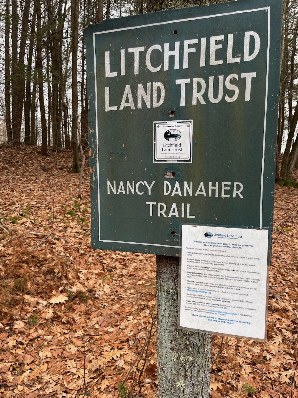
I’m going to make up a fake fact that must be true: There are no other publicly accessible trails that take hikers nearer a Harvard Five mid-century modern house than the blue-blazed Nancy Danaher Trail at this preserve. A preserve named in part for Rufus and Leslie Stillman who commissioned architect Marcel Breuer to design several homes for them. (I only know of the two in Litchfield.)
I know you came here for the trail, not the house it courses near. But if you are interested, you can check out my Litchfield tour of mid-century modern houses.
Whether you clicked that link, left, and are back here – or if you ignored it, let’s move on to the trails here. The preserve was created when the Stillmans donated 40 acres in 1978. An additional 37 acres was donated by Nancy Danaher in 1997.
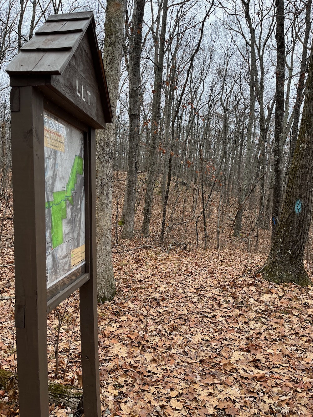
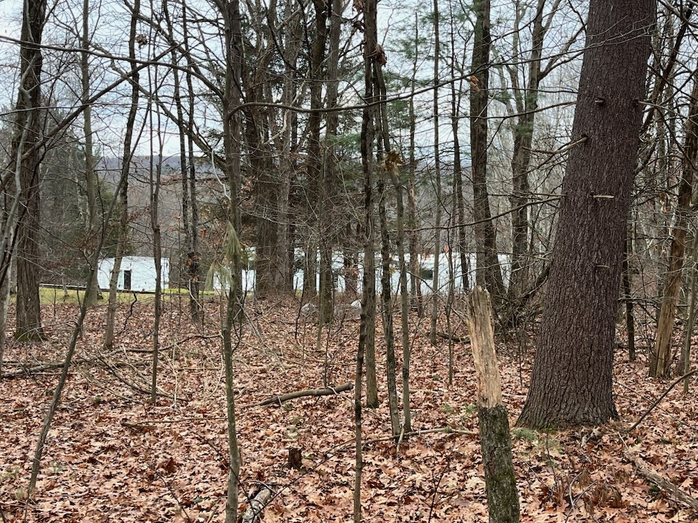
There’s a little hiker’s pullout for a few cars on Clark Road, just north of the house known as Stillman II’s driveway entrance. In the winter, you can see the back of the Breuer-designed boxy white and glass house through the woods from the trail! OMG!
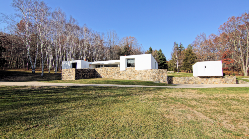
From the front, photo by Mark Madonna
Okay, okay, I’m being silly. This Trust property had expanded shortly before my visit, and now includes a second loop trail that heads south off the original Danaher Trail. So the total mileage here is now about three miles.
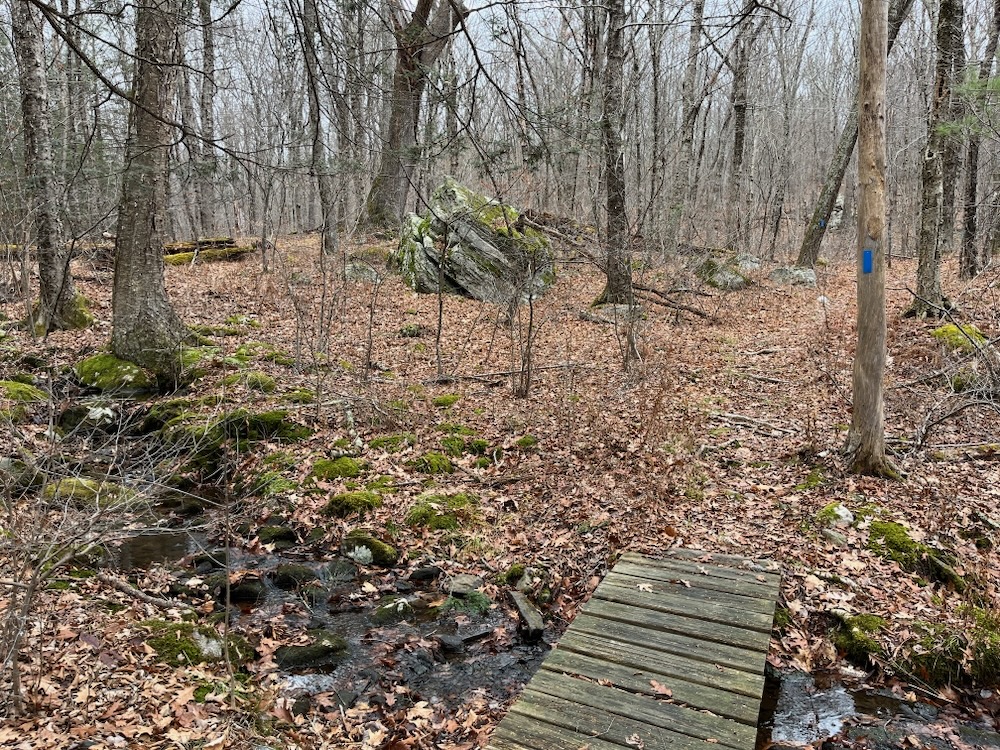
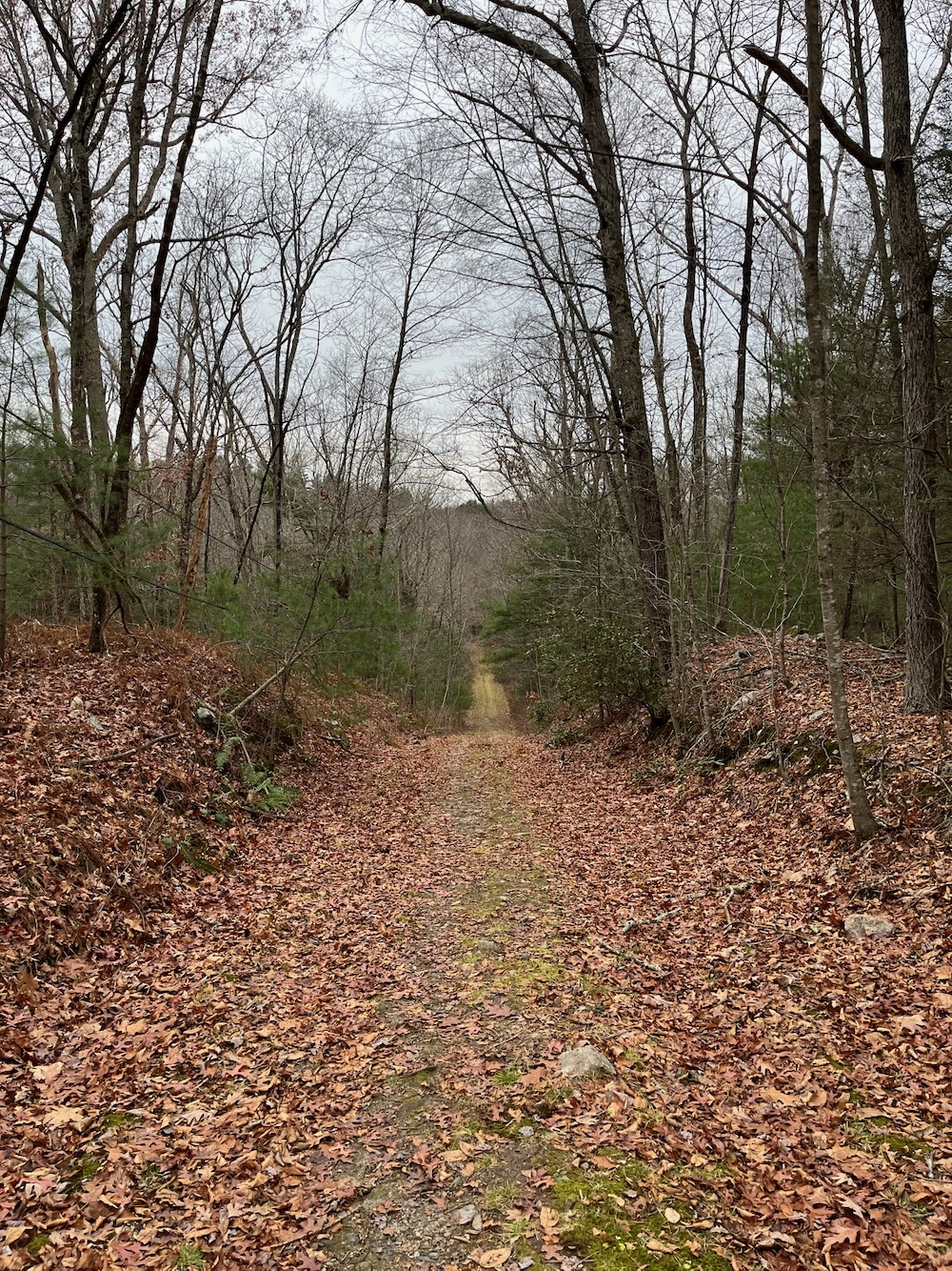
After the excitement of the barely seen house through the woods, the Danaher Trail crosses a little wet meadow and then climbs steadily through typical southern New England woods. There are hemlock groves amongst the hardwoods. While half this loop climbs, it’s pretty gentle and easy no matter which direction you tackle the loop.
I went clockwise which meant I’d be passing near the “Flat Rock” as noted on the trail map. I like flat rocks well enough I guess.
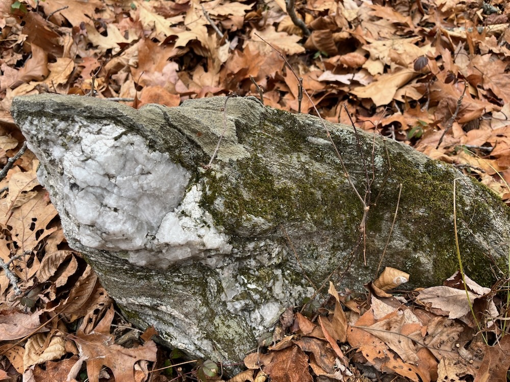
This is not a flat rock. This is a rock that will ruin your day if you happen to walk into it.
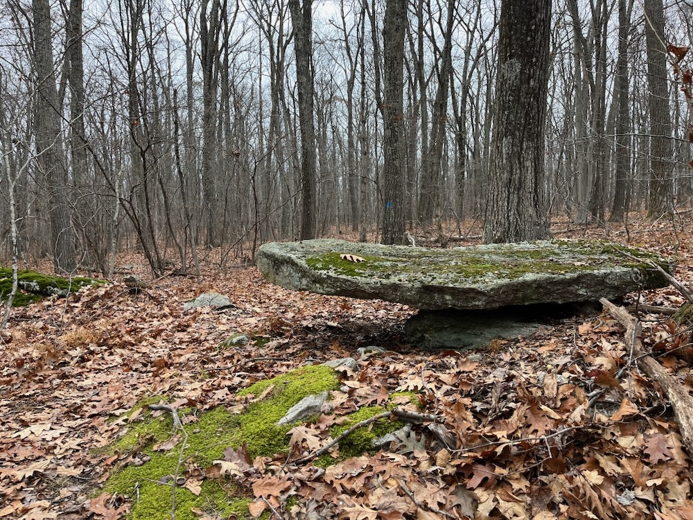
This is the Flat Rock of the Danaher Trail fame.
Awesome.
I steadily climbed northeast as the trail wound through small laurel stands and spent some time on an old woods road. I spied a little cabin up on a promontory and, seeing as though I seemed fairly alone in the woods at the moment, I veered off trail to take a closer look.
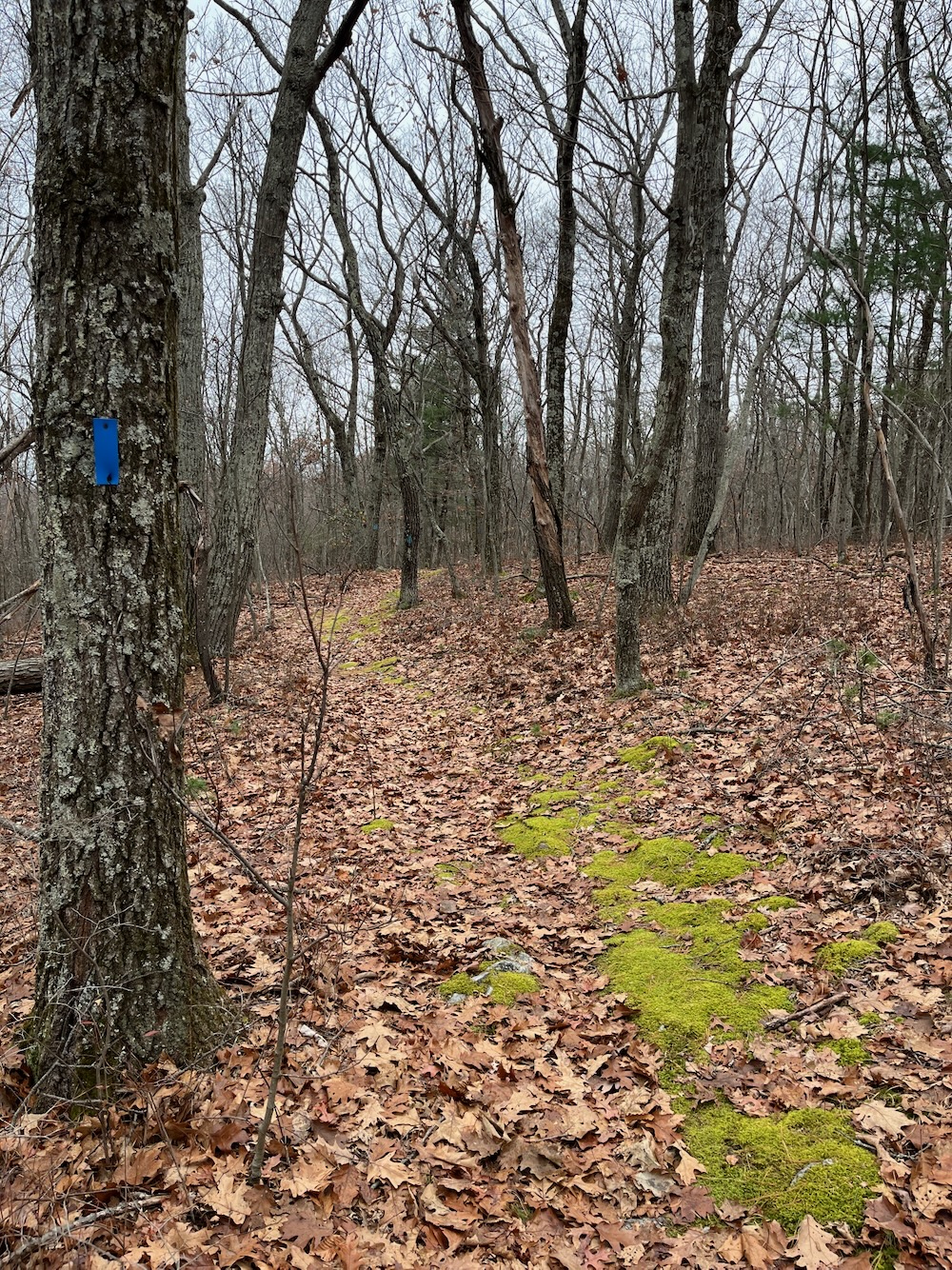
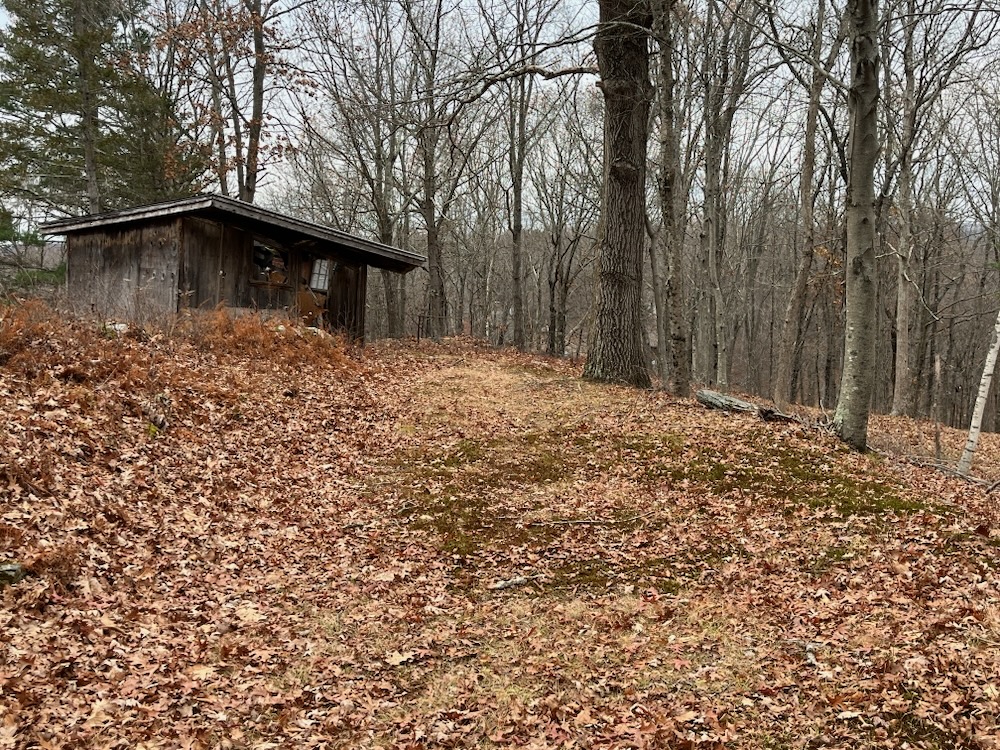
It doesn’t appear on the map and even now I can’t see it on a satellite view, but it looks like it was pretty darn nice at one point in time. I assume its a hunter’s cabin or maybe just a woodland escape for one of Litchfield’s artists or something, as its reachable via an ATV or even a Jeep on a good day. I’m sure it’s quite lovely at sunrise – and I’m also sure there were trail cams all over the place, so I didn’t bother getting very close and returned to the trail.
I’ve done some digging and now believe this building is a remnant of an old ski slope. Which I guess is also a cool story.
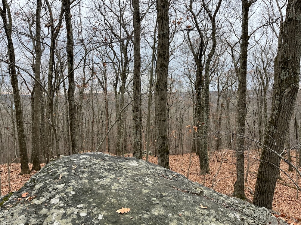
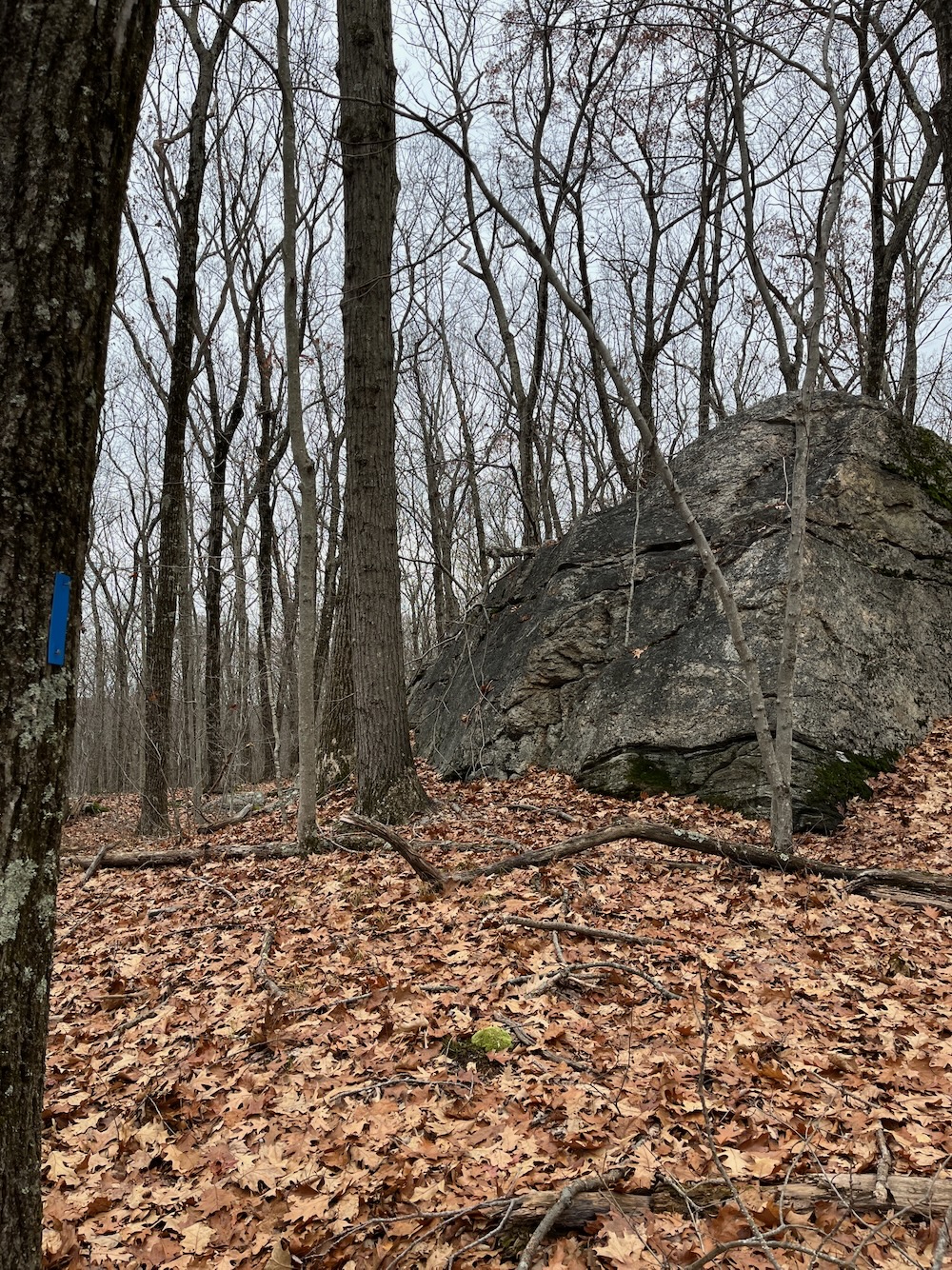
I’d reached the top of the hill and now the trail began heading back from whence I came along the ridgeline. The Trust’s map claims a “Pinnacle Rock” up here somewhere, but I couldn’t determine which big rock it was. None offered unobstructed valley views of any sort, and as you can see the leaves were off the trees during my hike.
I closed the Danaher Trail loop and then headed south on the newer Katzin Trail. The land for this was donated to the Trust in 2019 and I assume the trail was cleared and blazed within a couple years. It has a different flavor than the other trail here. More hemlock, more pine, more former farmed fields, and more waterfall. Mmmm, waterfall.
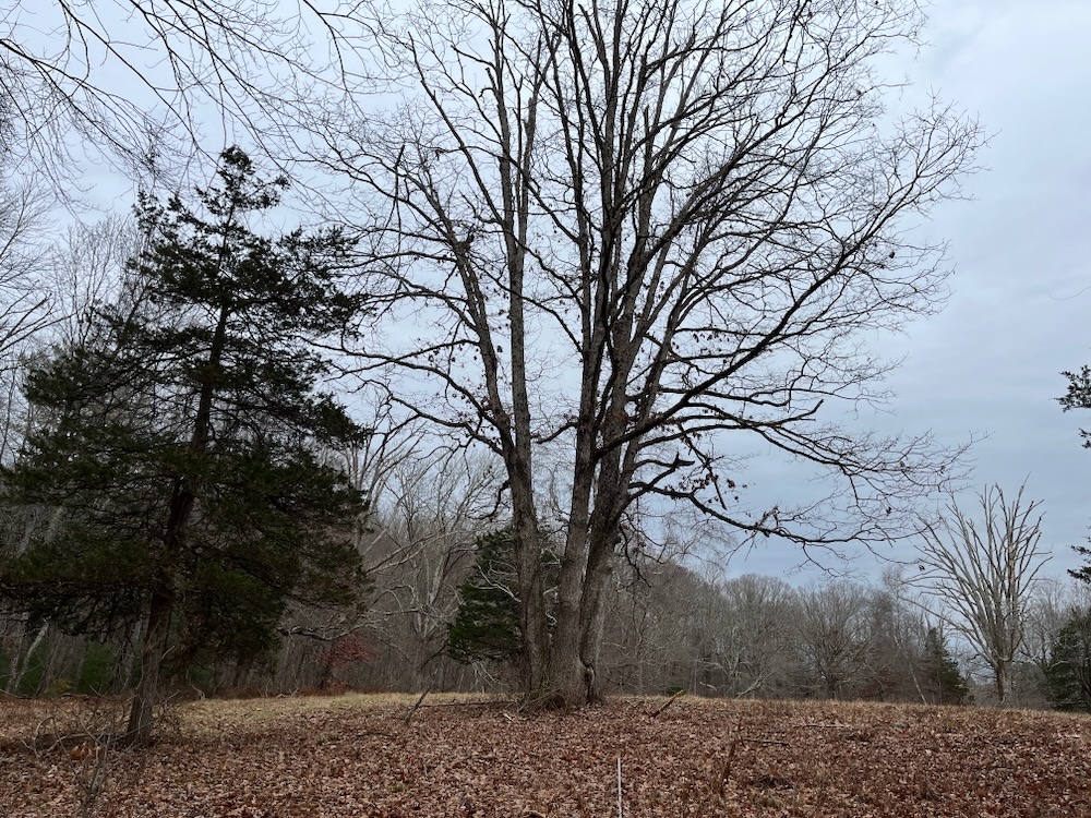
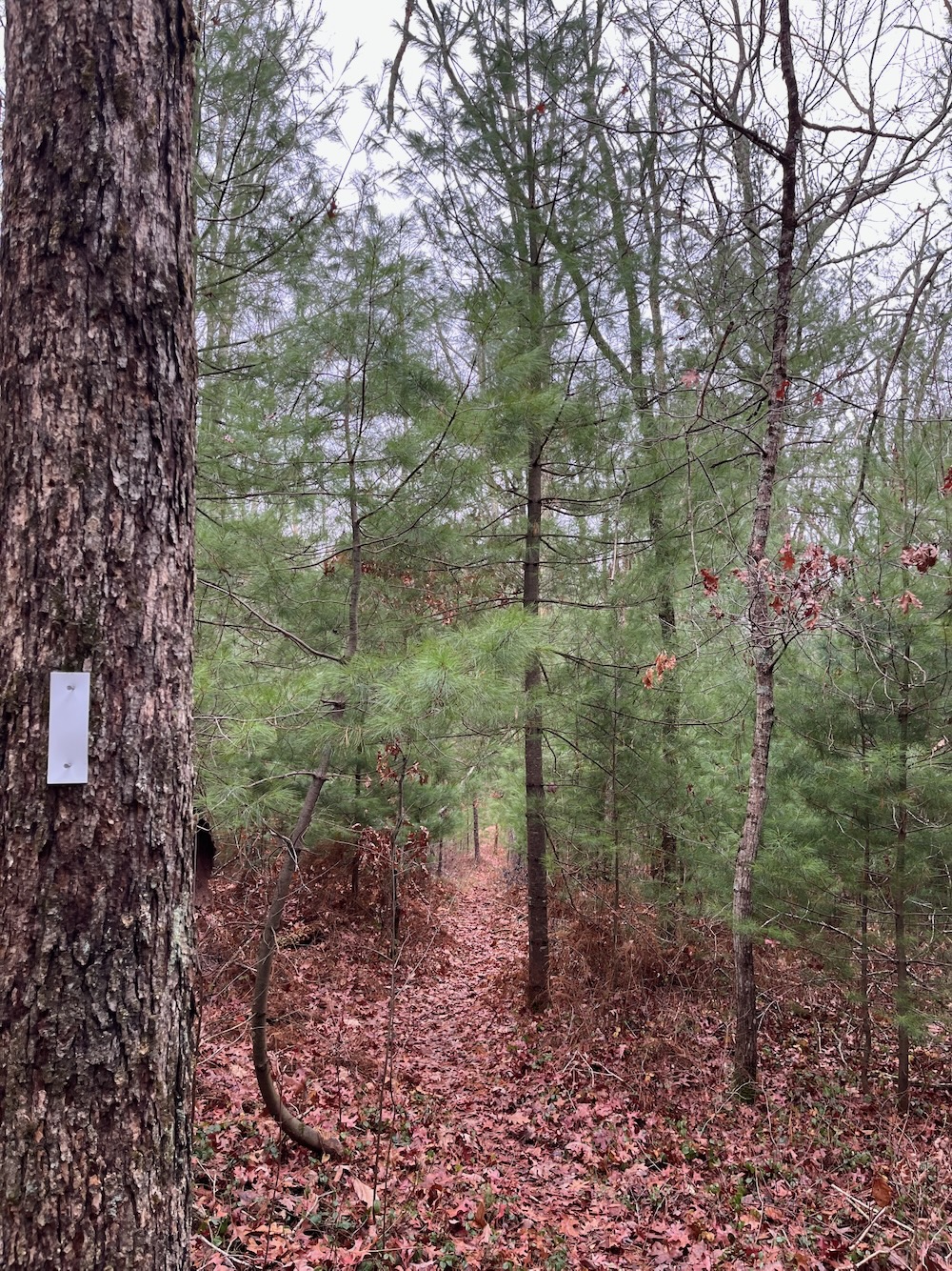
I very much enjoyed this initial half of the Katzin Trail – and not just because it was a gentle descent the whole way. I just like walking through baby trees and near old stone walls and fields. I made it out to an overgrown dirt road which was, at one time, Perkins Road. I have no idea when it was last drivable, connecting Clark and Wheeler Roads, but it no longer is. It is obviously walkable, which is exactly what I did for a bit before coming upon the little waterfall.
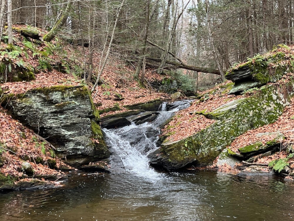
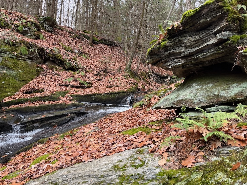
The falls here have no official name that I can find, but I felt they deserved a place on my CT Waterfalls list, and dubbed them the Katzin-Perkins Road Falls. They are very pretty and I love that Mr. Katzin donated this parcel for us all to now enjoy.
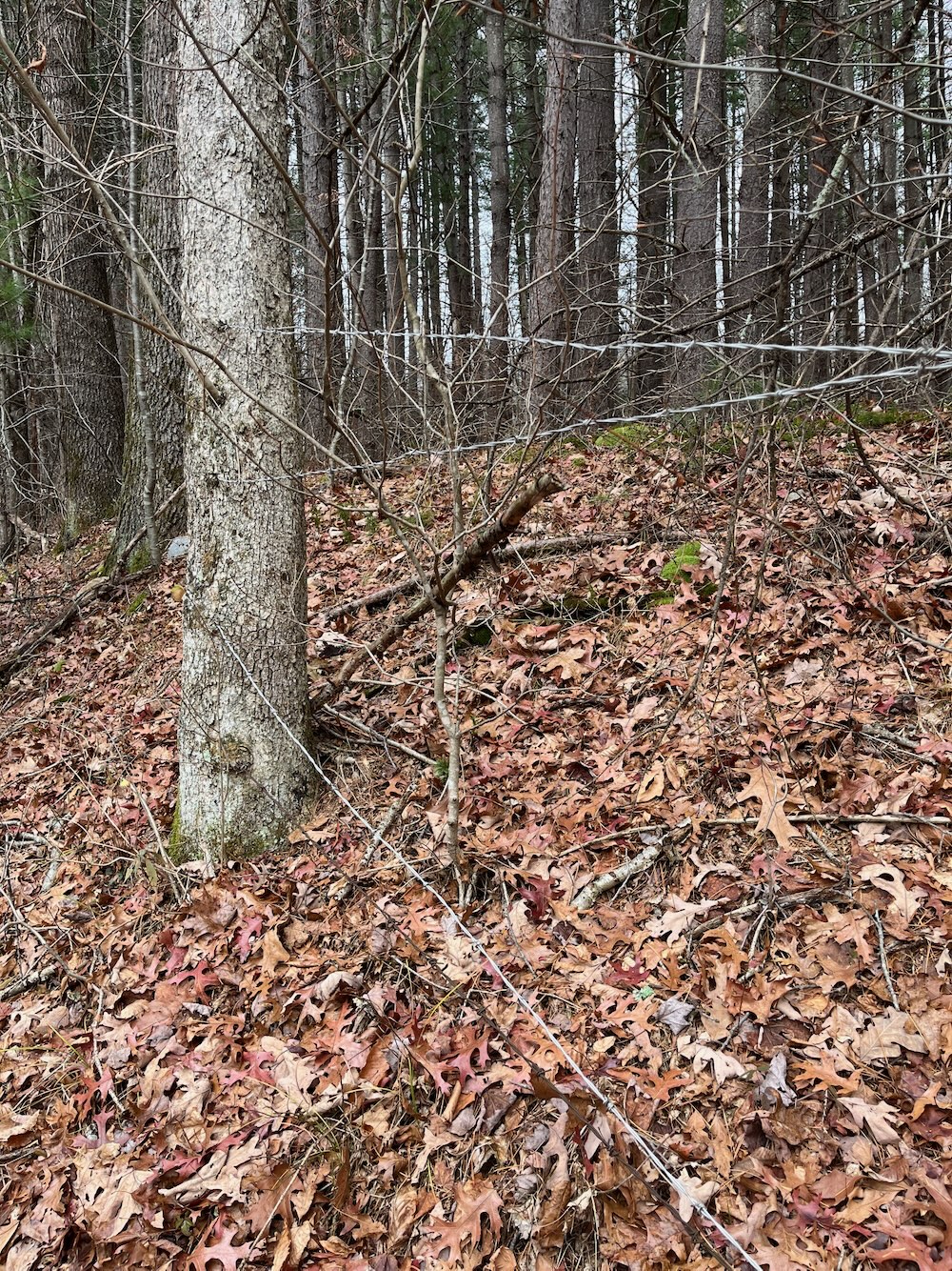
After the falls, the Katzin Trail more or less follows the stream back up to the Danaher Trail. The second most interesting feature of this stretch was the rather terrifying string of barbed wire right next to the trail. I have no idea why this was here in 2025. It’s perfectly legal, of course, and anyone staying on trail will be fine… but it just struck me as a little odd.
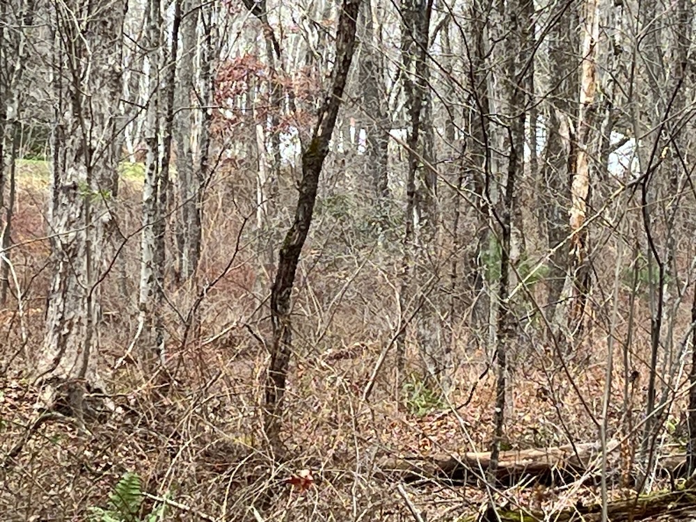
The house again! Barely!
The first most interesting thing was being able to see the Stillman House again across the reentrant and up on the hill! Just barely and only in winter, but there it is again!
I kid, I kid. I know you don’t care! (If my wife ever read this website, she’d care. So there.) This is a nice little jaunt through Litchfield hills and dales. Litchfield Land Trust has added several trails and trailed properties to their roster since 2020, and I look forward to exploring them all.

Litchfield Land Trust
CTMQ’s Litchfield Land Trust Hikes



 David Reik says
November 10, 2026 at 9:10 amThanks, Stephen Wood! I got out there and put the new Katzin Trail onto the Open Street Map database. The Open Street Map database is where all the apps get their basemaps. A rendition of the data that anyone can look at is to be found at hiking.waymarkedtrails.org .