
CONNECT(icut)
Plymouth/Thomaston/Watertown, 1.6 miles
March 2009
This trail has been discontinued.
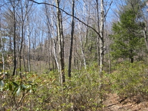
There’s no need for this post. Really. It’s a nice connector trail to have available, as one can hook up from the Jericho to the Mattatuck and continue west or east. It’s just not necessary for me to bother writing it up. Just look at this picture. It’s of nothing. Really.
It connects to the Whitestone Cliffs Trail to the east, follows an old woods road down the hill to Route 262, follows the bank of the Naugatuck River, crosses the bridge, passes underneath Route 8, and then enters the woods to ascend a hill, finally connecting with the Jericho Trail.
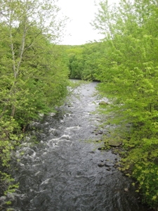
The Naugatuck River (Dividing Thomaston and Watertown)
But here’s the thing: For people like me that want to hike the whole Jericho Trail, this connector chops off the last half mile or so. And that’s just not going to happen. (Well, it did happen, but then I still walked that mile of the Jericho.)
The walk along the river is nice I suppose and the official CFPA sign probably contains the most characters of any CFPA trail name. So there’s that.
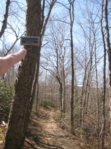
Junction with the Whitestone Cliffs Trail
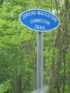
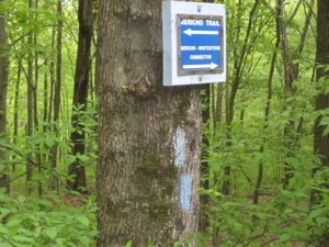
Exciting signage in Thomaston
Intersection with the Jericho in Watertown
Waterbury Area Trails Intro
CFPA Map
 Bob Melusky says
April 18, 2023 at 8:00 amThis trail is now closed by CFPA.
I speed hiked down and back up the eroded ditch with the late Tony Razel a couple years ago. Last fall, I parked off of Route 8 and hiked up the old trolley path, and that was in bad shape after the roadside tree scalpers came through. The hike up the ledge was an interesting challenge. At the power line cut, recent structure replacement construction left a gap with no discernible path until I spotted a trail sign at the edge of the woods. One needs to wade through some brush to get there. Once in the forest, it is a pretty nice trail. There is a tarp home by the trail that did not appear to be occupied (by a 21st Century Leatherman) at the time.
Once I got home, I saw that the trail had been closed by CFPA, so only the section hiked by Tony and me will count on my 800 mile tally.
Tony was the past president of the Meshomasic Hiking Club and a great guy.
Bob Melusky