
It Doesn’t Matta!
King Property/Middlefield Dog Park Trail, Middlefield
December 2025
This 1.5 mile loop isn’t the Mattabassett Trail, although it connects to it. And while its trailhead is on Mattabeseck Road…oh, it doesn’t Matta! It’s a nice little trail in its own right!
And it’s hard to come by information on it, so as is so often the case, this humble page on this humble website will likely serve as the trail guide to the King Property Trail in Middlefield.
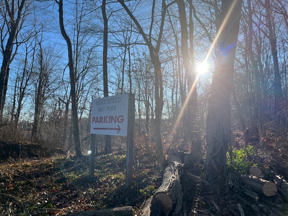
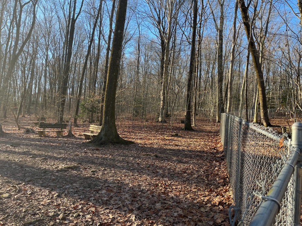
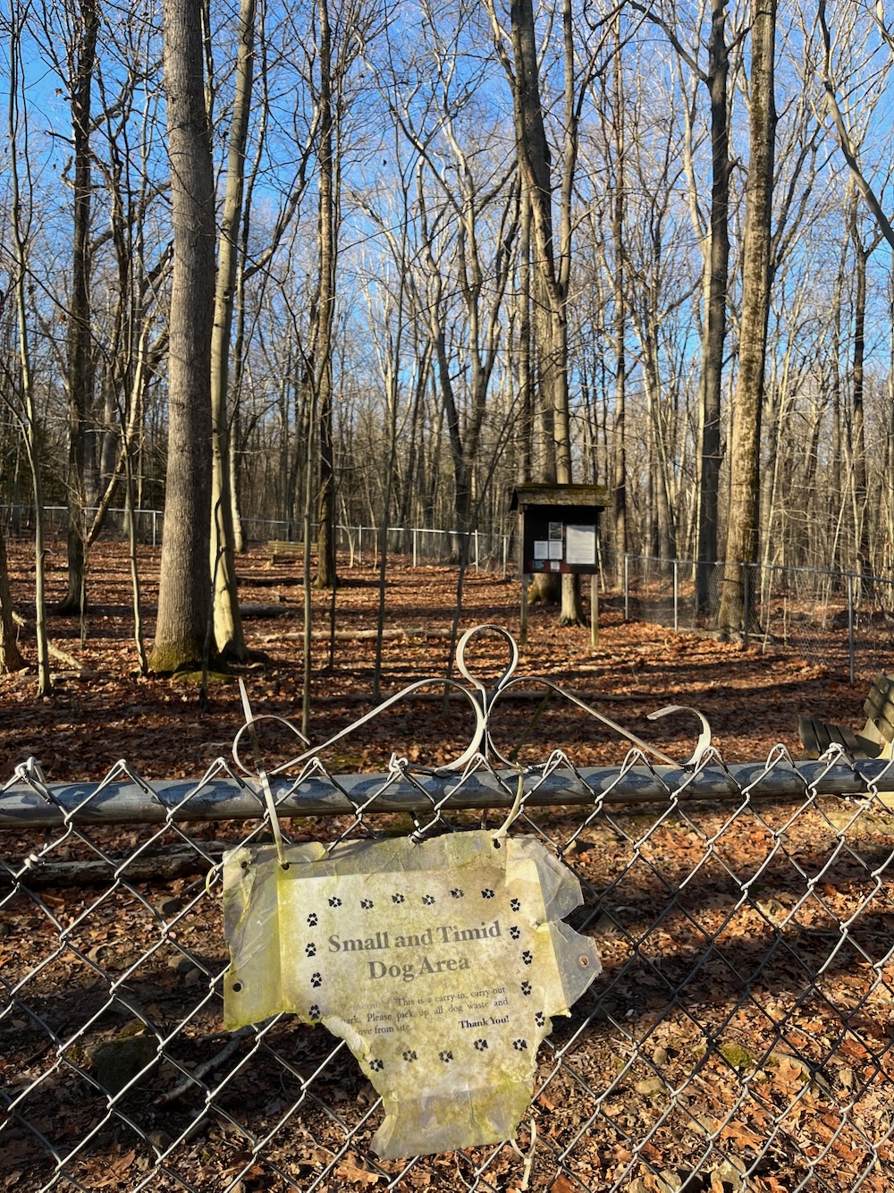
Granted, many people are very familiar with the first 300 yards or so of the trail. For it is the access to the town’s rather impressive woodland dog park. It offers an opportunity for dogs to safely run leash-free, and owners to socialize with other dog lovers. The park consists of approximately one acre of woodland, enclosed with a continuous 5′ tall chain link fence. There are separate fenced areas for both large and small (or timid) dogs.
The park was created by a dog loving boy scout for his Eagle project. It is impressive to say the least. It is also more difficult to access than every other dog park I’m aware of.
Driving through the tiny streets of the lakefront community is quite an adventure, but then once you find the parking area, you must walk a couple hundred yards with your dog.
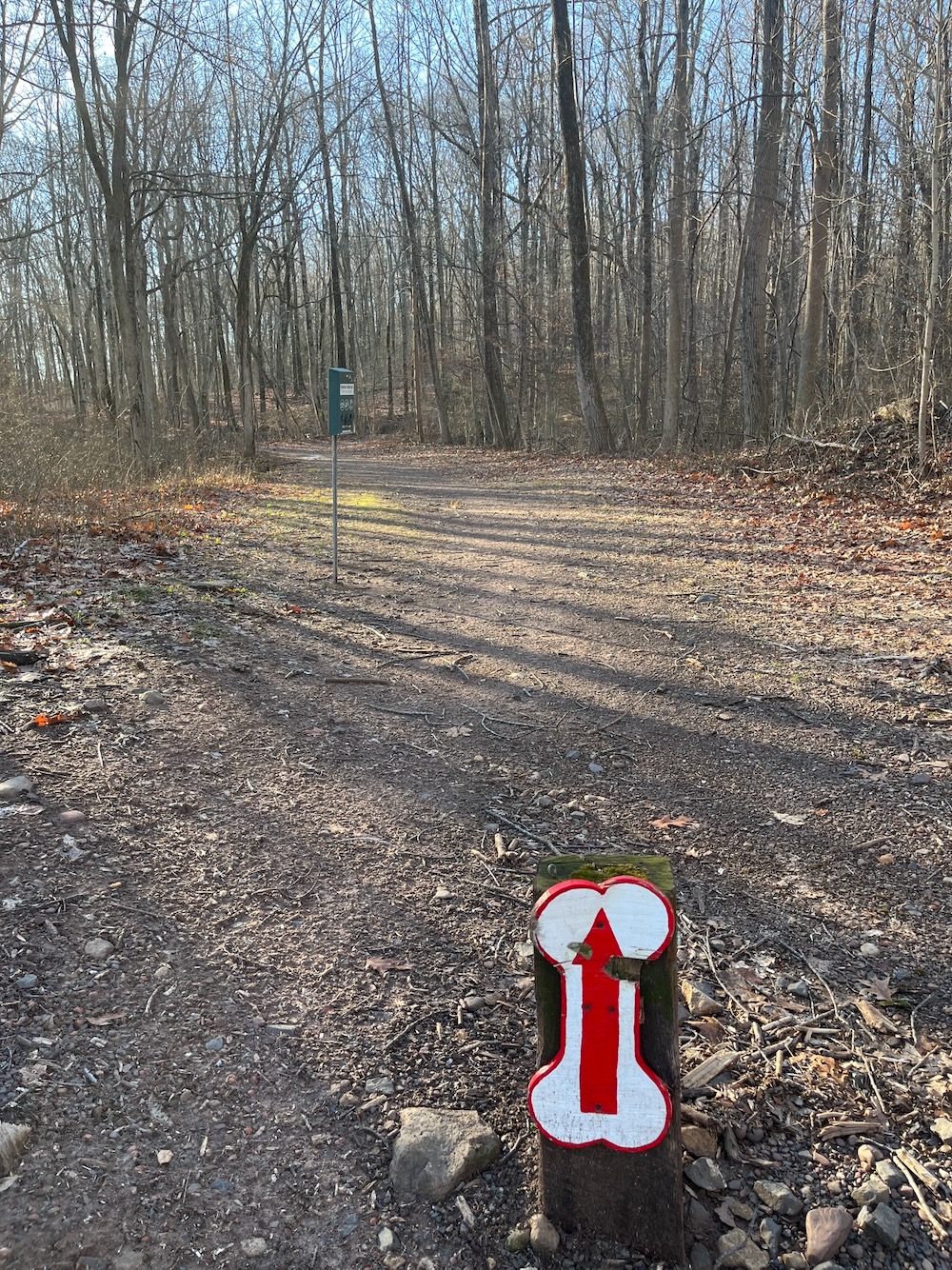
I made that walk but that’s only the beginning of the full length of the yellow-blazed… King Trail? King Property Trail? Middlefield Dog Park Trail? No idea. It has no name, despite the fact that the town of Middlefield has maintained it fairly well for many years.
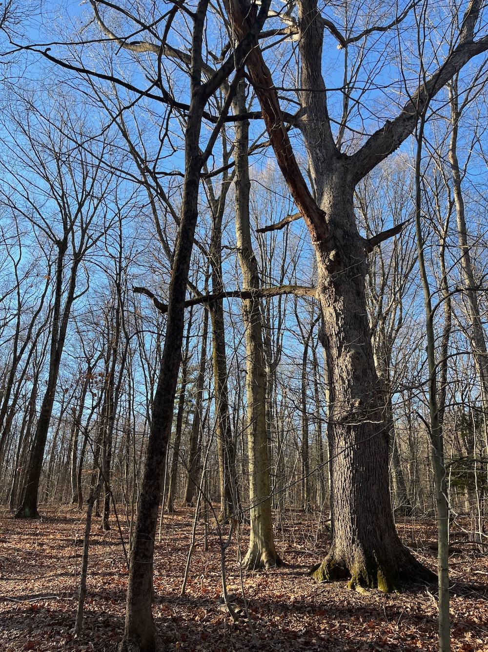
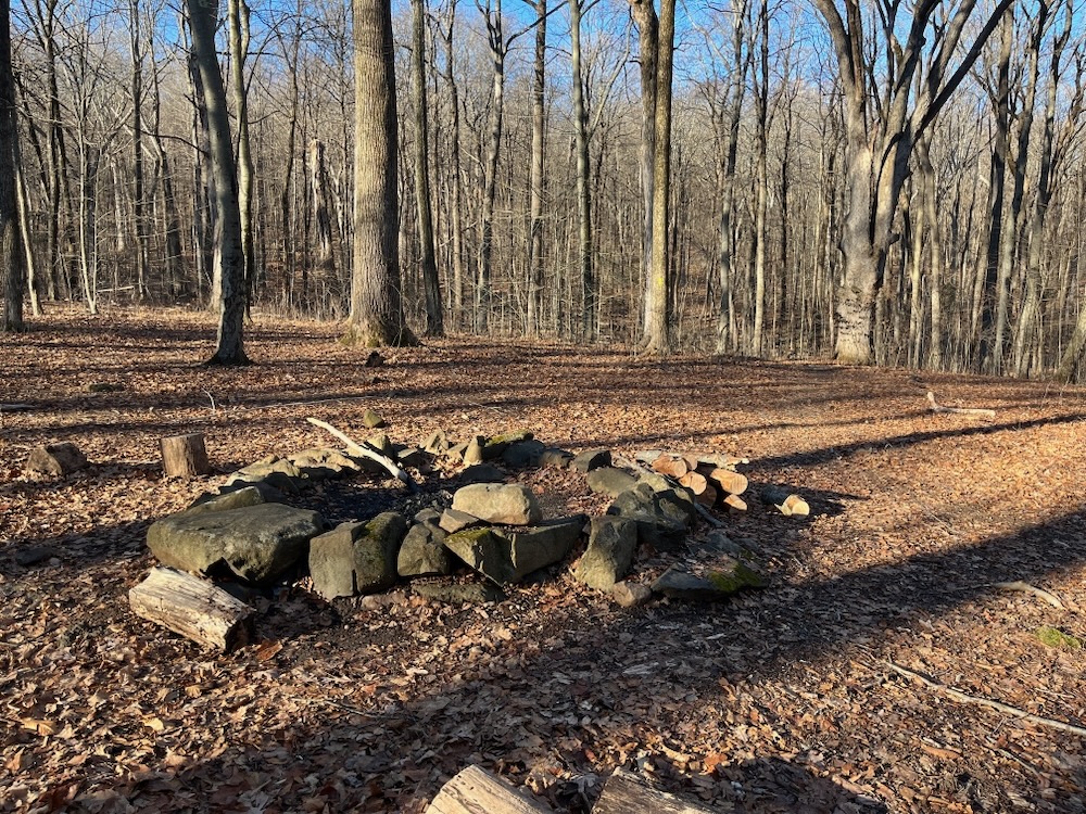
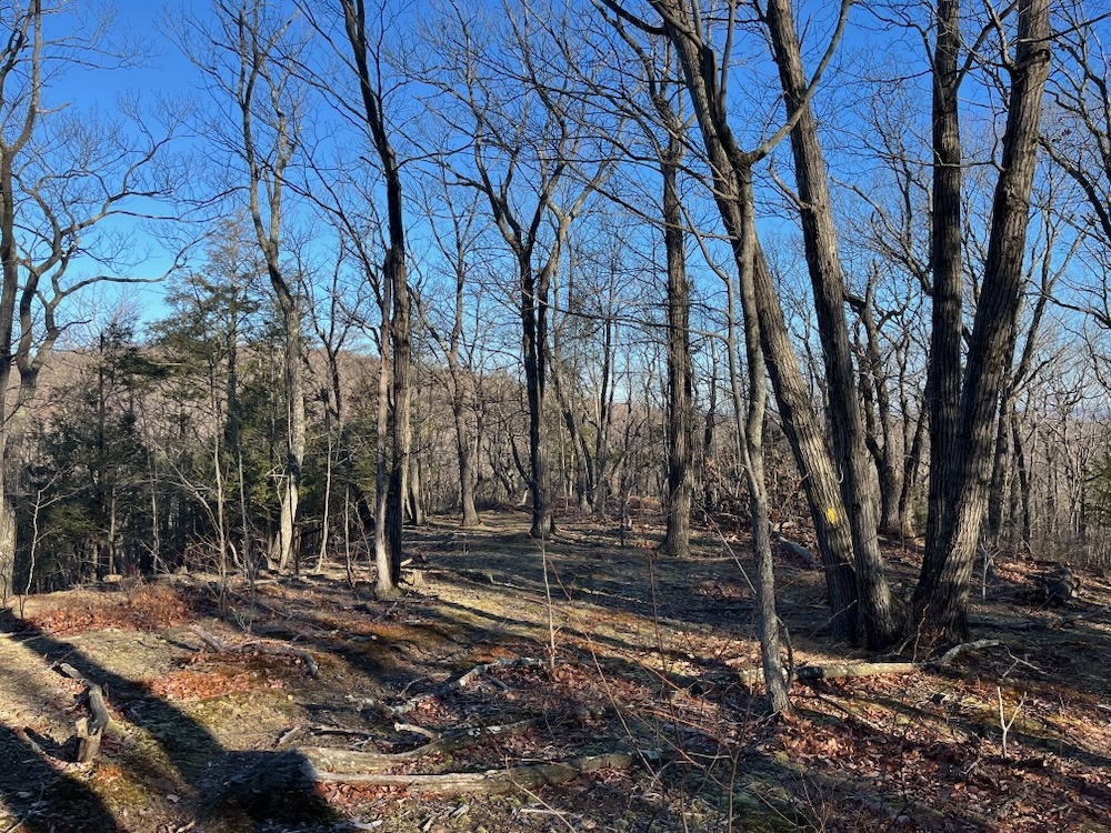
Past the dog park, the trail begins to climb Beseck Mountain. After maybe half a mile from the lot, I passed a cleared flat area with a fire ring. I believe this was the area where a different scout 25 years ago proposed a sort of permanent campsite. The trail to here was cleared and well-traveled and it appears people use this fire ring fairly often.
Interestingly, it could serve as a campsite for a New England Trail thru-hiker, but I don’t think it’s mentioned in any guides for that purpose… To get your bearings, this loop goes up and down the eastern flank of Beseck Mountain, south of Route 66/Black Pond and north of the Powder Ridge Ski area.
Not super cleared, but not super bad
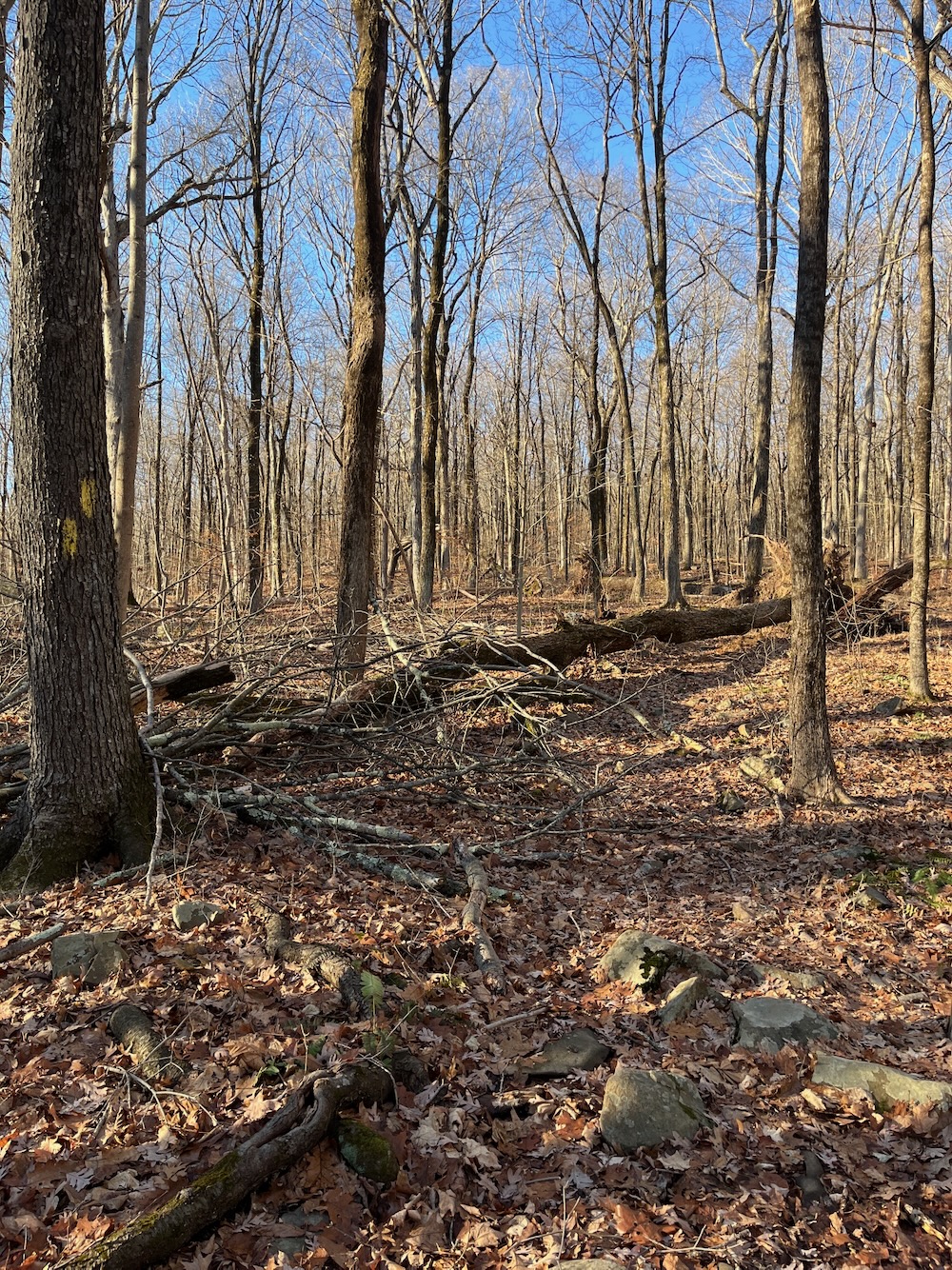
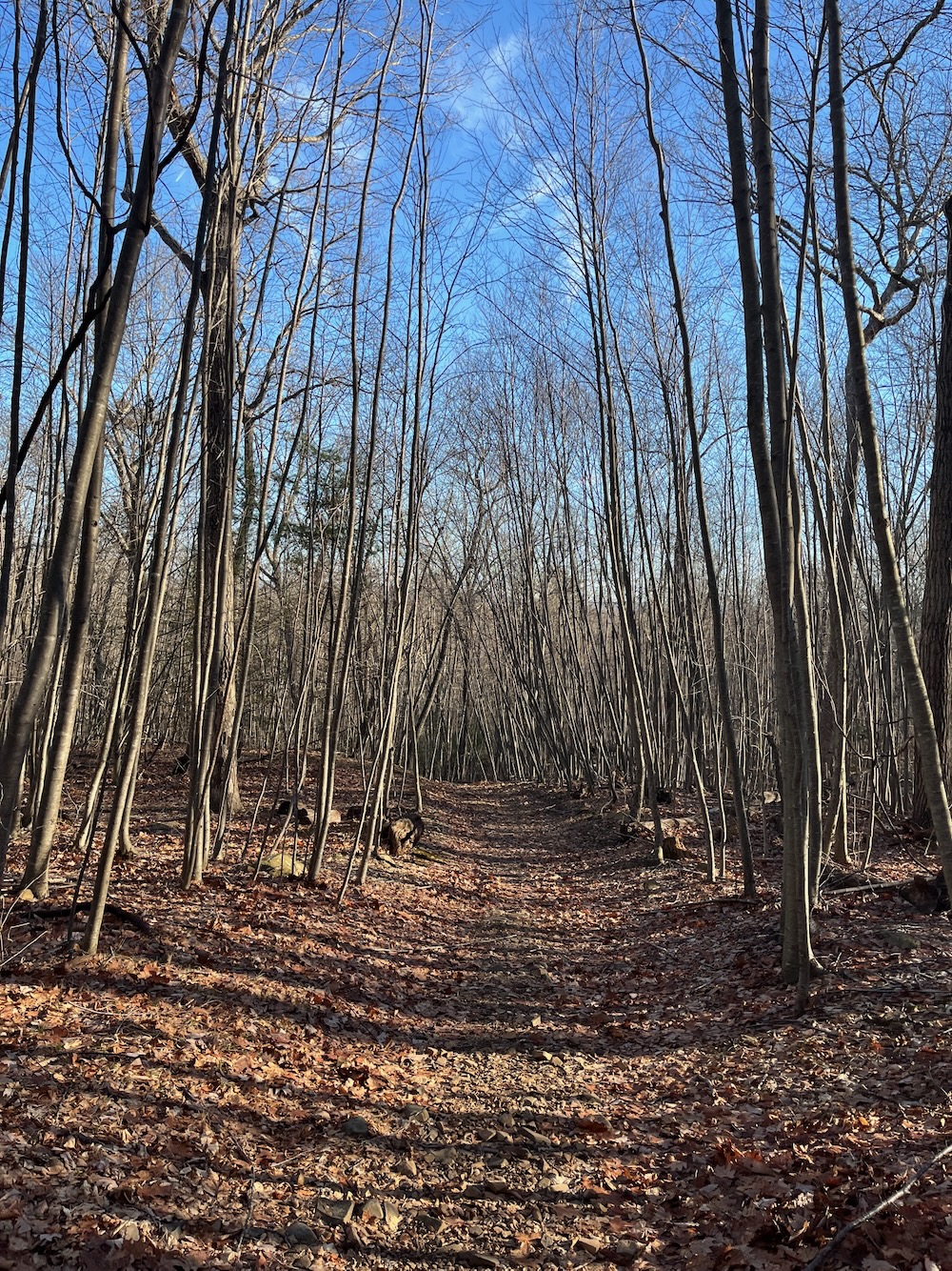
Continuing on, up the hill, the trail immediately becomes less clear. The blazes are still prominent enough, but no one is going through here with loppers and chainsaws more than once or twice a year.
It wasn’t bad though.
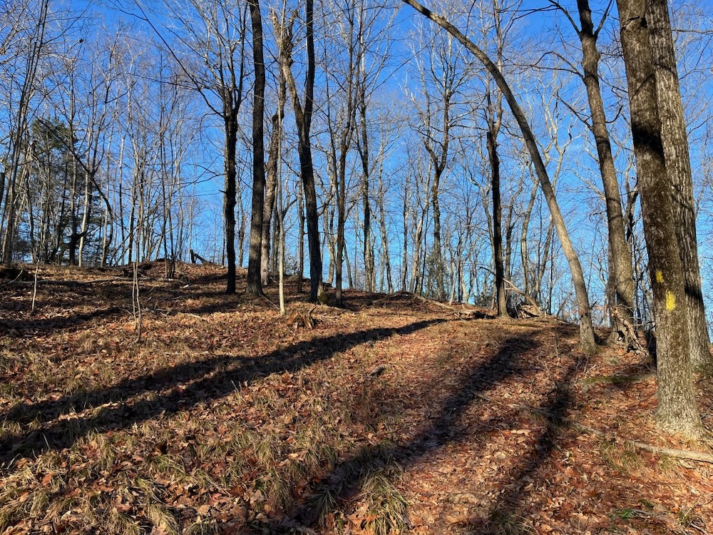
Up, up, up to the ridgeline. Here, a few unmarked trails go off in different directions, one or two of which connect to the Mattabesett Trail – which is part of the NET I mentioned just above.

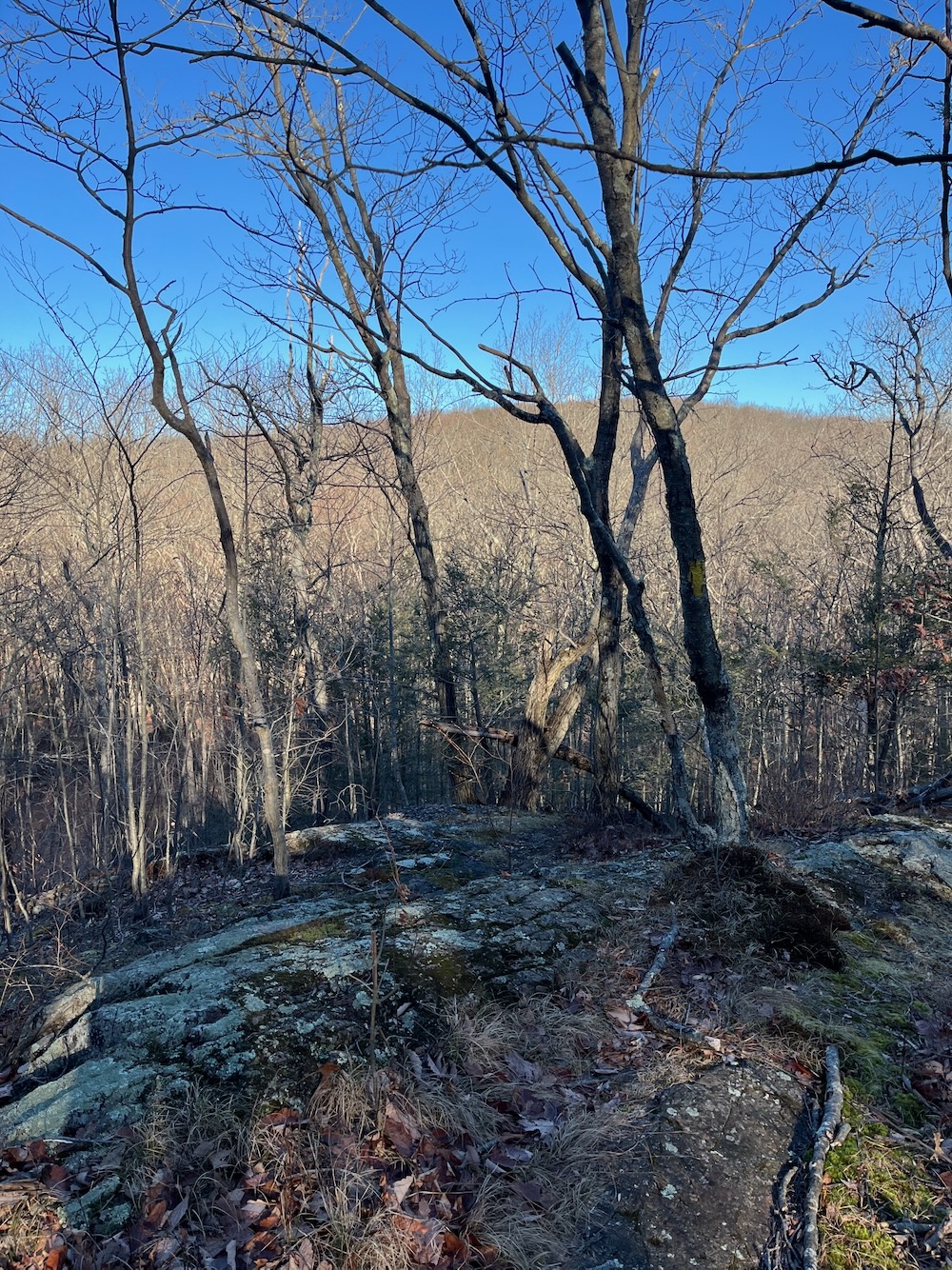
I had done no research before this hike, so I was a little surprised to be so high up. Classic Connecticut ridgeline; basalt chunks, withered scrub oaks, swaying grasses. I love it. Granted, we’re talking like 600 feet up, but we take what we can get around here.
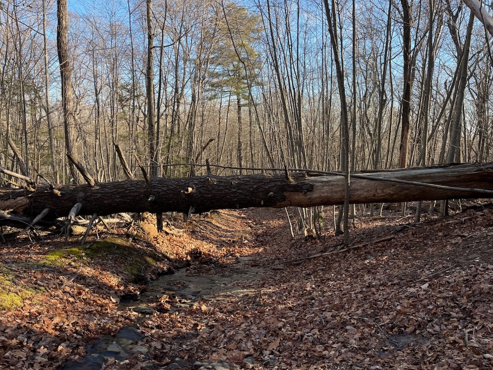
From there, the trail descends from the ridge down towards a Jeep trail and a brook that heads down to Beseck Lake. This “Jeep Trail” has seen better days and I would not encourage any Jeeping here. As for walking, this section of trail can be a bit of a mess as the trail is also a stream.
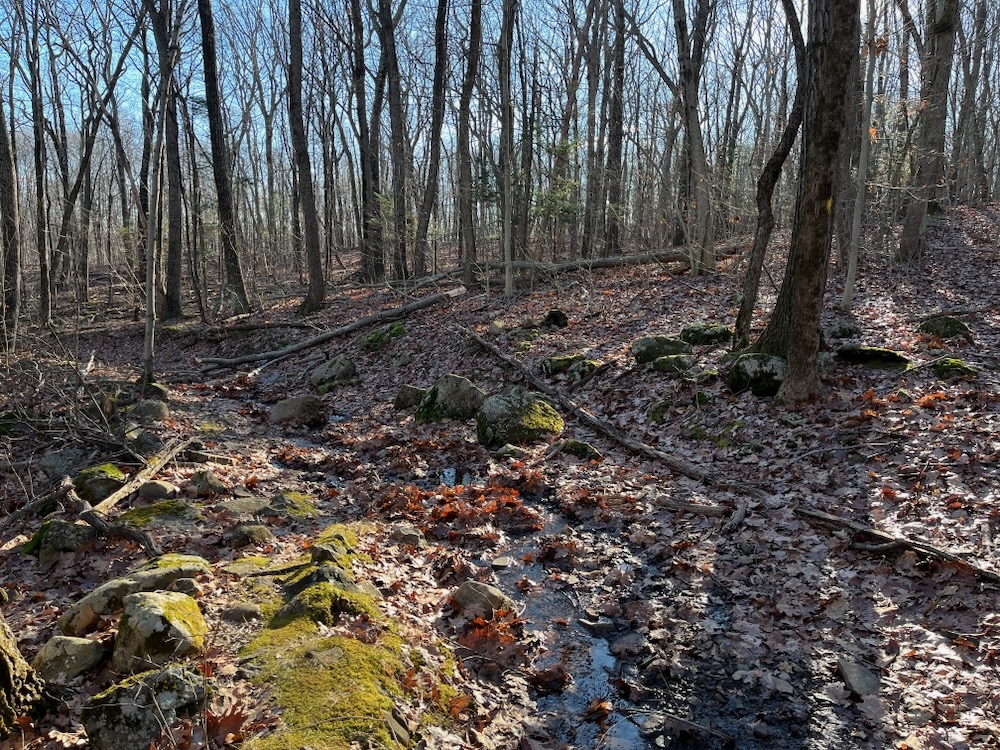
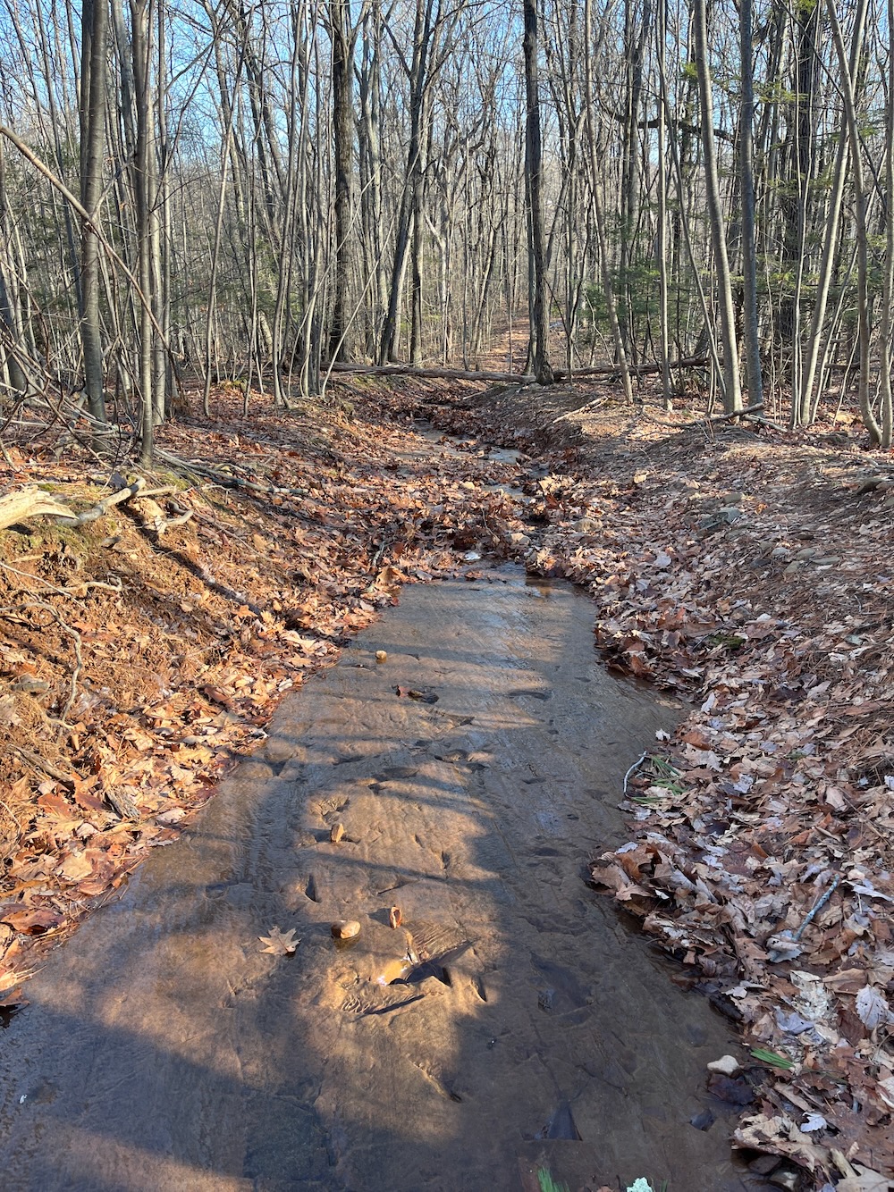
The brook off in the woods looks quite nice and there are some interesting smoothed out stone features along the way. I definitely prefer the walk up, however, and would recommend the clockwise loop direction. You just want to bound down this side along this Jeep trail.
Middlefield has a nice little trail here. It’s pretty well blazed and cleared for a town trail that just sort of exists. It deserves better, especially with its connections to the Mattabesett and the wider world.
![]()
CTMQ’s Middlefield Town Trails
Leave a Reply