
Rollin’ Thru The Dirty Derb
Naugatuck River Greenway, Ansonia, Derby, & Shelton
December 2024
The plans for this multi use trail as of 2025 are very, very hopeful. The trail would be 44 miles from the Naugatuck River up to Torrington, using the existing Still River Greenway. Massive chunks are still in planning, but there are snippets of trail here and there.
I did this southernmost section because it’s an end of the trail, which means I can say I’ve started this trail and now just wait however long it takes to start filling in the holes. For what it’s worth, these couple miles from the Housatonic north along the Naugatuck are, for the most part, quite nice.
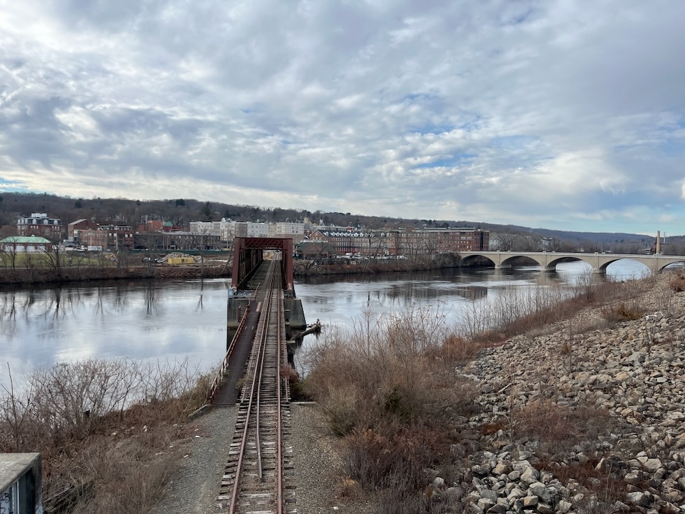
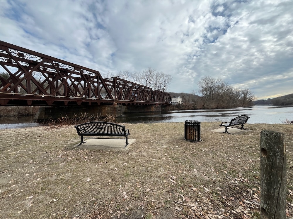
Keep in mind that this whole trail is kind of a Bike Your Own Adventure kind of a thing. Like, I have this trail starting across the bridge in Shelton. For the record, so do the folks behind the trail, but it has two different chunks in Shelton. Right along the Housatonic behind buildings and along the old Shelton canal. Regardless, I started on the Shelton side of the Derby-Shelton Bridge. Note: there is no reason to do this.
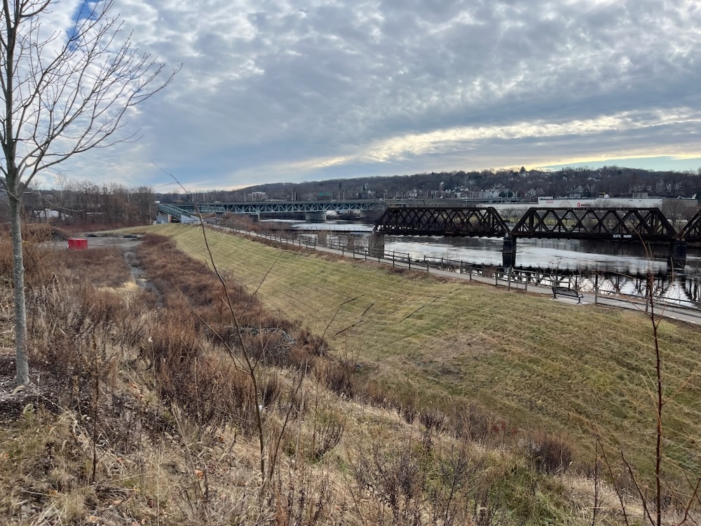
The Shelton side of the bridge
In fact, if you start on the Derby side, there’s a nice little parking lot (actually, it’s a rather terrible parking lot, from an engineering and driving perspective, but it’s convenient) from which you can head out.
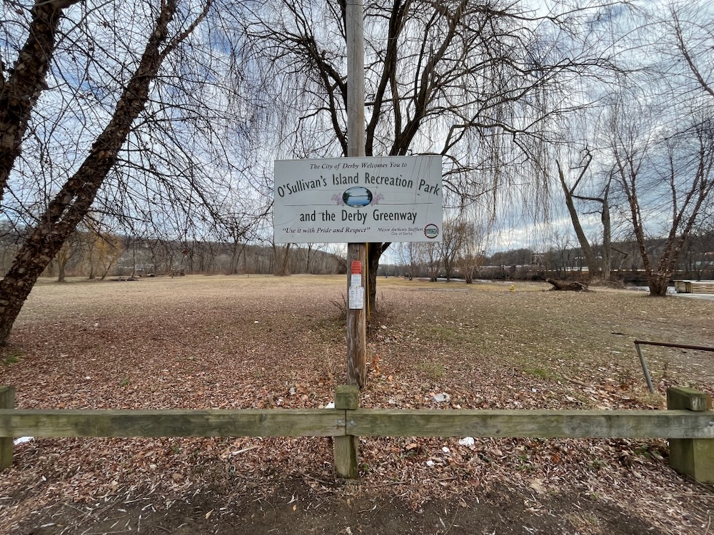
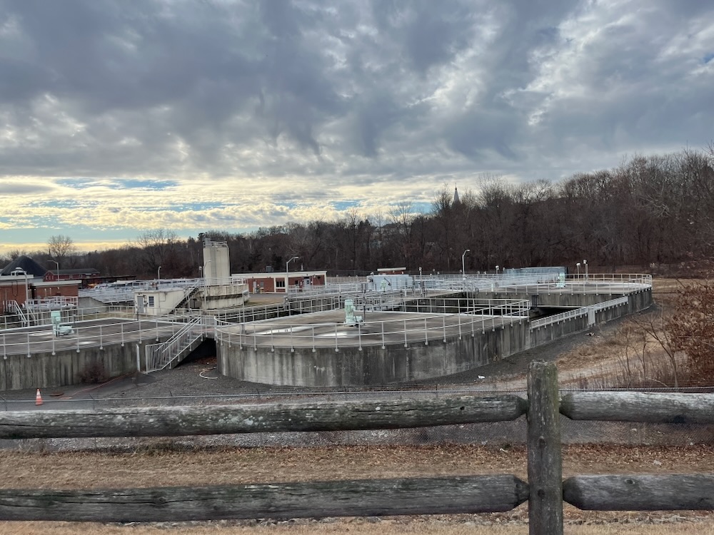
Head out where? Well, straight down the Housy to a giant scrap yard next to the wastewater treatment plant right before the Route 8 underpass and the toxic chemical dumping grounds of O’Sullivan’s Island.
Hey man, the town’s not called the Dirty Derb for nothin’. and everything I just wrote is 100% true. There’s a weird apocalyptic attractiveness to this area that I can’t explain. And while you’re rolling through here, down to the former toxic waste dump island, keep in mind that it used to be way, way worse here.
There’s no way anyone would have invested the time and money to build this fishing pier 50 years ago when there were no fish. The platform is 80 feet across, 16 feet wide, and will extend 30 feet into the river. I mean, here’s the official “glowing” verbiage from the Naugatuck Valley COG:
Even with vehicles going over the peninsula on Route 8 and trains passing nearby, the site offers a peaceful spot for people to enjoy the riverfront. O’Sullivan’s Island is among the lower Naugatuck Valley’s most interesting and naturally beautiful land. It is also one of the most challenging brownfield locations NVCOG has had the opportunity to improve.


Funding for the fishing pier was secured from several state and federal partners; including a $200,000 grant from the state Department of Economic and Community Development for site assessments and soil remediation; a $325,000 grant from the U.S. Fish and Wildlife Service, and an additional $204, 252 from the state Department of Energy and Environmental Protection’s Federal Sport Fish Restoration program.
It’s important to approach this (still not very attractive) area with an appreciation for what it was.. After all, O’Sullivan’s Island Park was closed for 20 years due to contamination.
From the 1950s until 2000, the northern portion of O’Sullivan’s Island was used for training by the Valley Fire Training School. In the 1970s and early 1980s, the southern portion of the site was used as a source of sand and gravel for cover material at the nearby Derby Landfill. In 1983, rusted, leaking 55-gallon drums were uncovered. From 1983-1985, the Environmental Protection Agency worked to remove 900 drums and a large amount of contaminated soil from the southern portion of the site. EPA fenced off two piles of contaminated soil they left behind because there was no disposal site available. Over the next 20 years, the site remained off limits to the public. In 2007, the fire training buildings were demolished. EPA returned in 2008 to remove the piles of contaminated soil and do additional PCB soil testing across the site. EPA also removed an additional 50 drums (some of which contained volatile chemicals and unknown products), and removed a large amount of contaminated soil from the southern and eastern portions of the site. EPA placed clean soil over all the excavated areas, and planted grass and trees.
The primary contaminants found on the southern portion of the site are volatile organic chemicals (VOCs) and polychlorinated biphenyls (PCBs). Fun stuff like xylenes, toluene, chlorobenzene, ethylbenzene, and vinyl chloride.
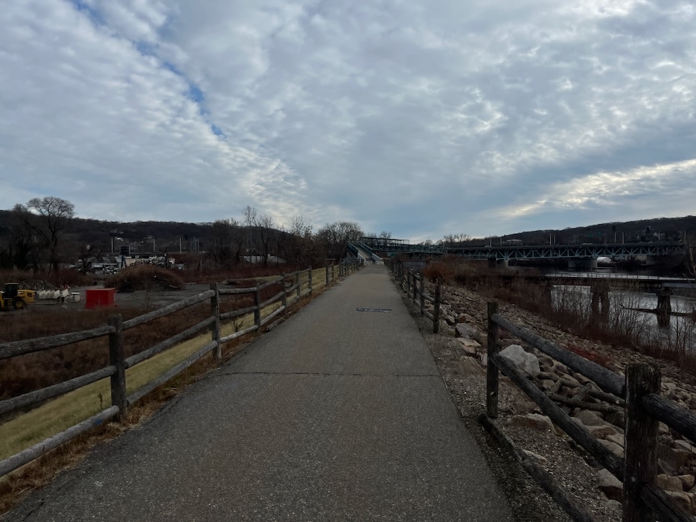
O’Sullivan’s Island Recreation Park reopened to the public in 2009 and in 2013, the City of Derby completed its portion of the Naugatuck River Greenway trail that runs across the northern portion of the site. The greenway cuts between the inner pond and the open lagoon and loops around the northeastern (Hogs Island) portion of the peninsula, along the Naugatuck River.
In late 2025 Derby potentially plans to continue to develop this site. There’s talk of a skate park and playground, as well as a band shell. It was pretty cold when I visited, yet there were a lot of people congregated here. I’m not sure why, but they were there just hanging out.
Let’s move on.
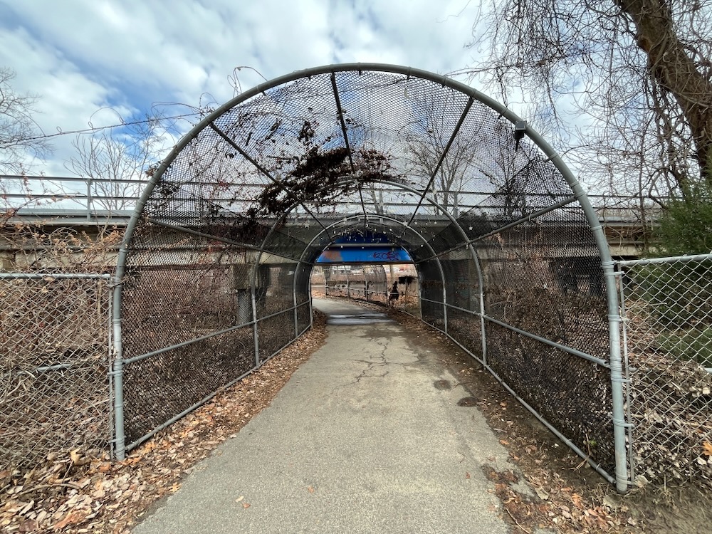
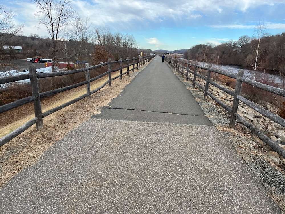
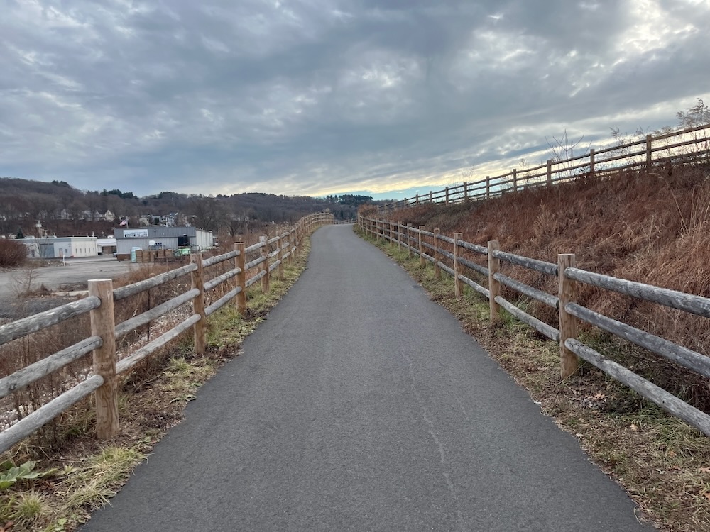
The trail has a few loops around here, and it appears that some of the path suffers from being between two big rivers in a low-lying area.

I powered through and the next mile is rather pleasant, despite Route 8 and rusty train bridges… and junkyards and wastewater treatment plants. Note: I enjoyed views of Ansonia junkyards and wastewater plants in addition to the Derby ones earlier.
The path itself was in great shape when I rode it, and an effort has been made to keep it clean as well as informative. There are explanatory signs along the way at places and things of interest. Things like the National Humane Alliance Fountain.

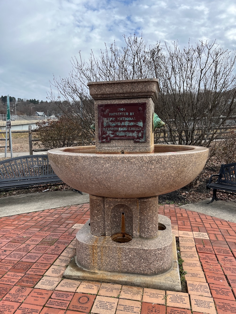
The National Humane Alliance fountains are a series of granite drinking fountains that were intended to provide fresh drinking water for horses, dogs, cats, and people. About 125 of the fountains were donated to cities throughout the United States and Mexico between 1902 and 1915. Most of the fountains have been removed from their original sites, usually in the center of busy intersections, but at least 70 of them are still publicly viewable. Derby’s is quite nice.
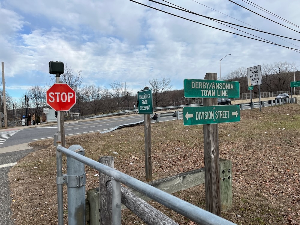
After the fountain, the trail took me into Ansonia. The scenery did not change. And the tradition of noting town lines on rails-to-trails trails continues down here. I love it.
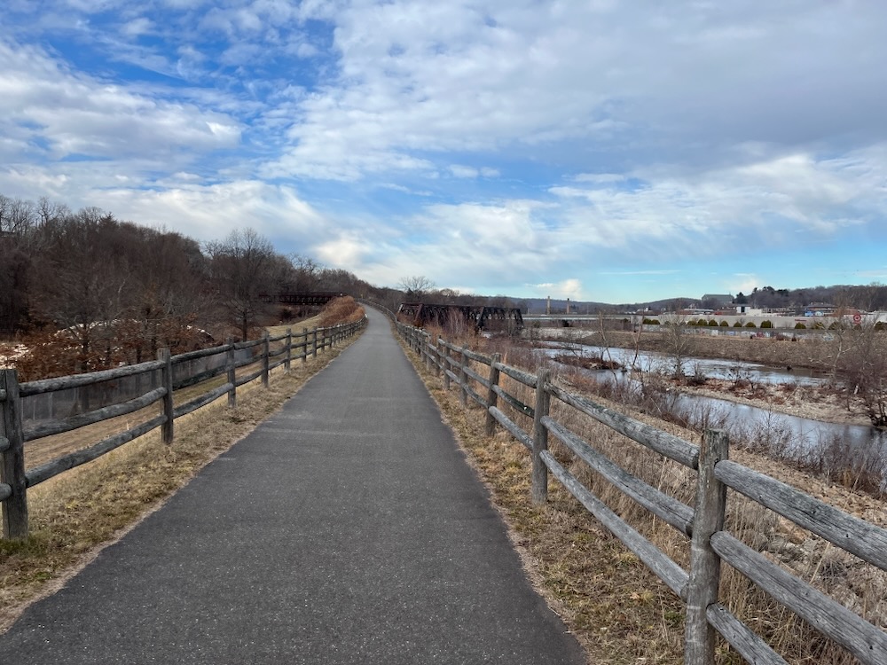
From this point northward, I rode behind box stores and the aforementioned wastewater tanks and that sort of thing. I don’t want to sound like I’m complaining; these trails usually follow former rail lines which, in post-industrial lower Naugatuck Valley, means post- and current industrial areas. And it’s fantastic that these trails are funded and built.
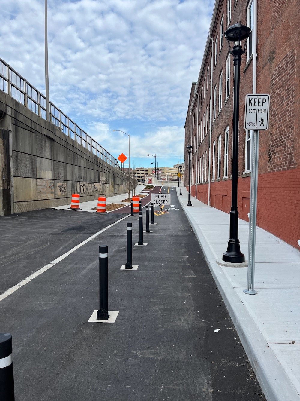
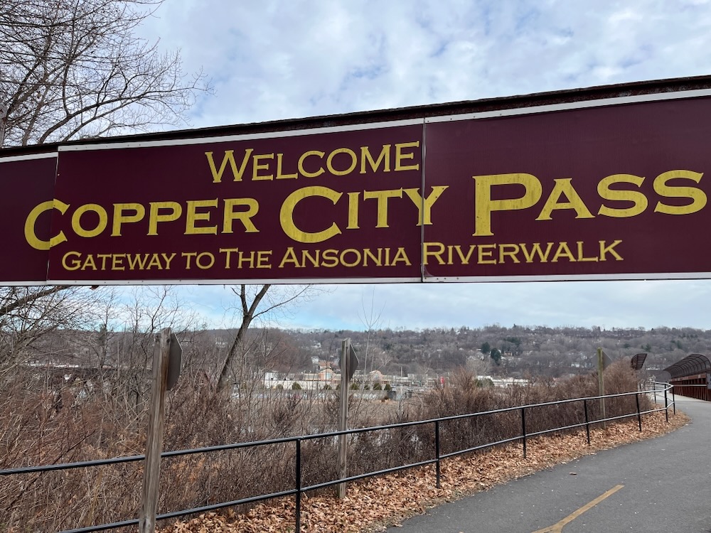
But they take time. This trail reaches a point in Ansonia where it can no longer exist on its own, and curves over to Clifton Avenue at Copper City Pass. What’s Copper City Pass you ask?

It’s a gateway to the 130-foot steel bridge over the Metro-North rail line along this trail. The sign is made from repurposed trolley tracks that used to exist here along Clifton Avenue in Ansonia, which is cool.
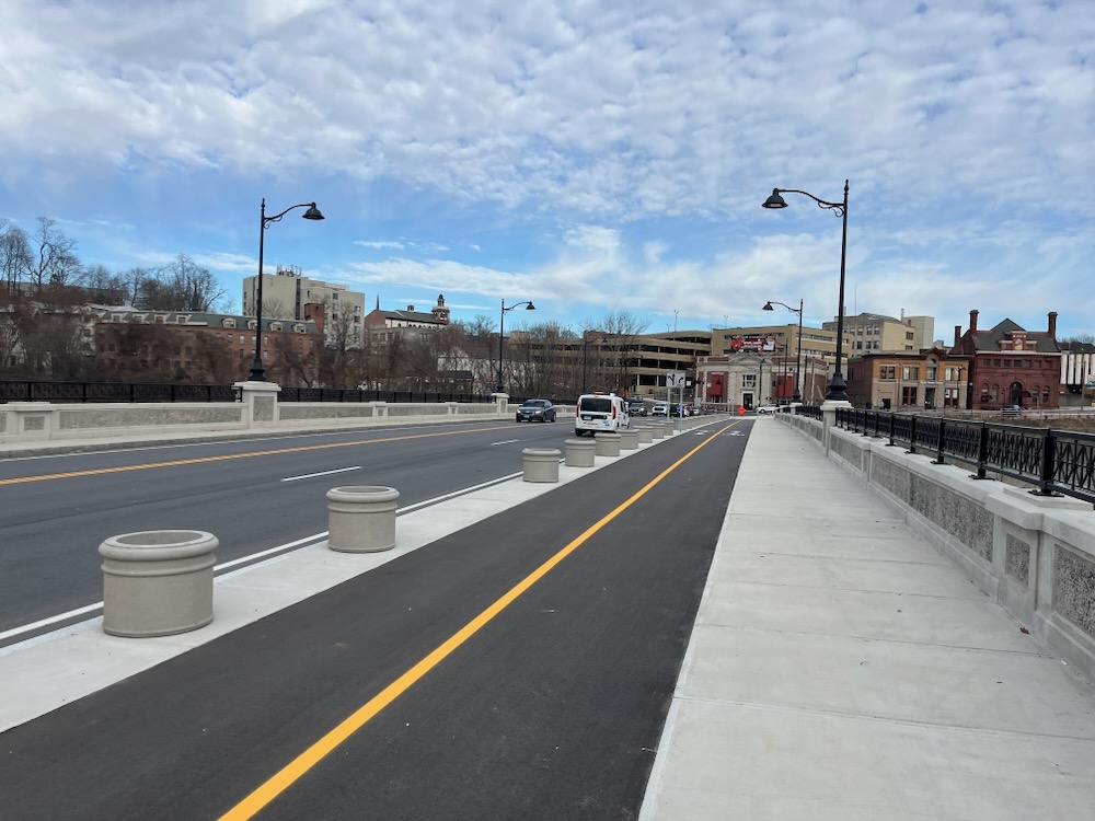
The trail uses city streets here (for now) and once I reached Bridge Street, I crossed the river and began heading back south.
Through the Target lot and… onto another random little section of Naugatuck River Greenway trail! On the other side of the river! That… kinda doesn’t really connect to anything!
But it’s nice. I guess? Once that section ends, it was down Main Street to Division Street bridge back to the fountain at the city border and then retraced my ride back to my car.
Again, this was not a warm day and I saw dozens of people walking along this trail. It is certainly being used as intended and that’s fantastic. The planned “44 miles” up to Torrington has a long way to go, but I’m hopeful.
Hopeful to be able to return to beautiful downtown Ansonia to continue my cycling trek north.
Now there’s a sentence that’s never been written before.

![]()
The Naugatuck River Greenway
CTMQ rides the Naugatuck River Greenway Trail
CTMQ’s Cycling, Multi-Use, & Rails-to-Trails Paths
 Jamie Meyers says
December 11, 2025 at 9:22 amI haven’t been down that way in probably ten years but it is pretty grubby. The Naugatuck River south of Waterbury had a distinct smell of treated sewage water when last I was there. I’d be surprised if that weren’t still true. Hope they can complete the walkway before long.