
Give a Man a Fisher…
Fisher Farm Open Space, Avon & Farmington
July 2010 & November 2025
This trail has matured and grown since my 2010 visit. It’s great now.
My 2010 advice: Don’t bother. Unless you are 100% immune to poison ivy and get your jollies hiking through pancake-flat meadows and woods, there’s really not too much on offer here. Perhaps it’s better in the fall, I don’t know. I hiked this property on a steamy July afternoon after a company outing down the road at the Farmington Club. And before anyone gets sore at me, I support all efforts put into preserving this area and it absolutely the right thing to do. I can’t imagine driving around here and not seeing pristine meadows and farms.
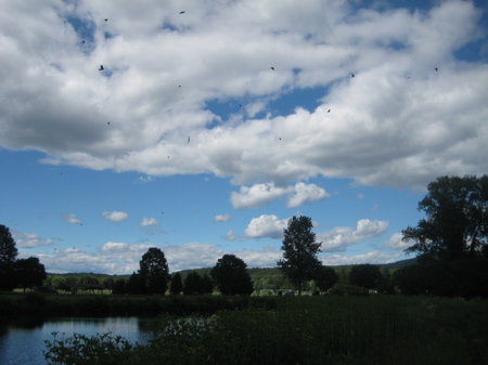
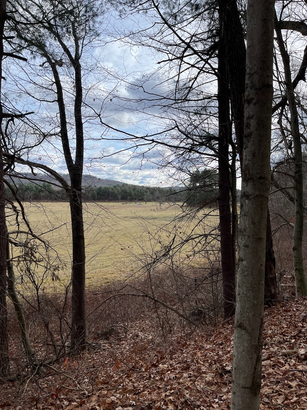
There is a nice hiker’s lot right off of Tillotson Road. I first hiked the yellow-blazed River Trail which skirts the meadows and then meanders along the banks of the Farmington River. (I’m now realizing some of my pictures make this place look kind of pretty – and it is, at least for the first quarter mile or so.) At the time of my hike, the trail was terribly overgrown with all sorts of stuff – both in the fields and in the woods. Once in the woods, the proliferation of poison ivy was, in a word, epic. At one point, I realized my shoe was untied. And after walking through a forest of “leaves of three” and “letting them be,” there was just no way I was going to touch my laces to retie them. After a while of that mess, I turned tail back to the road where my car was and retied them using a shirt between my fingers and the laces. Such is life.
![]()
2025 Update: This is one of the best “family hikes” in this part of Connecticut. It has everything: A river, a historic farm, historic canals, open fields, towering pines, a perfect length and multiple easy parking areas.
Amazing what 15 years can do for a place, eh? (If you scroll to the comments below, you’ll see one from 2014 suggesting future plans – that came to fruition! – followed by a 2019 lament similar to mine above… followed by a 2023 invite to return to an entirely different experience. And that’s exactly what I did the day after Thanksgiving, more than 15 years after my original foray here.)
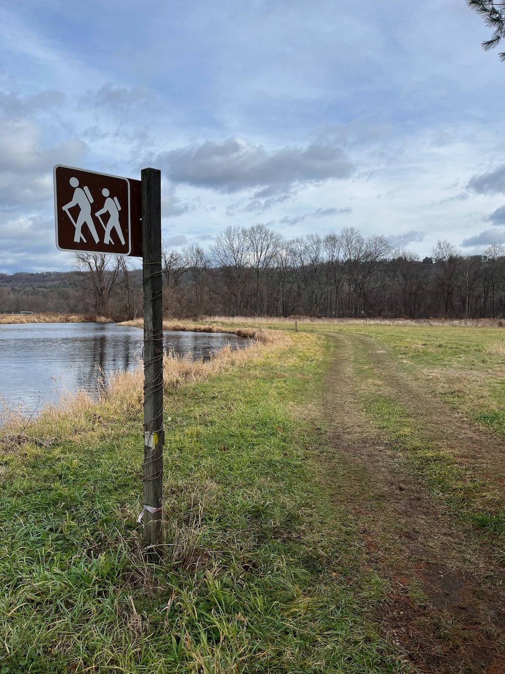
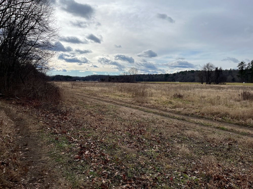
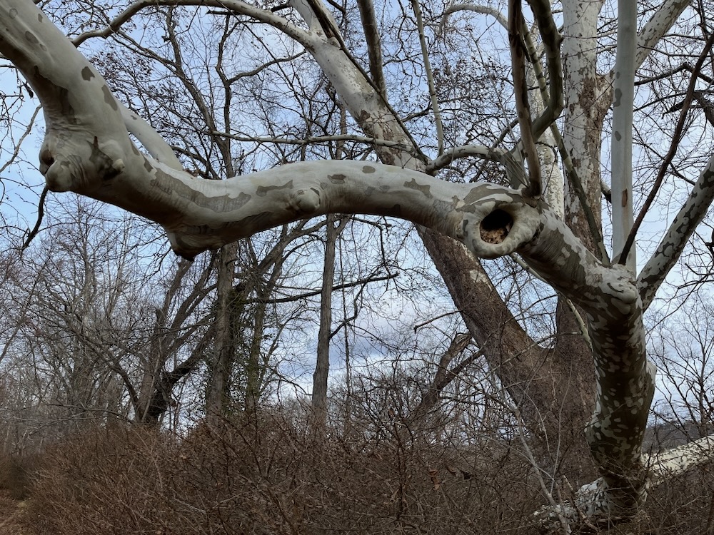
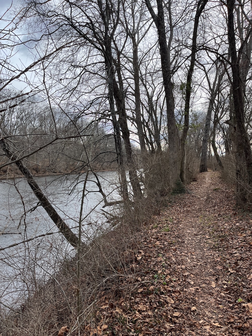
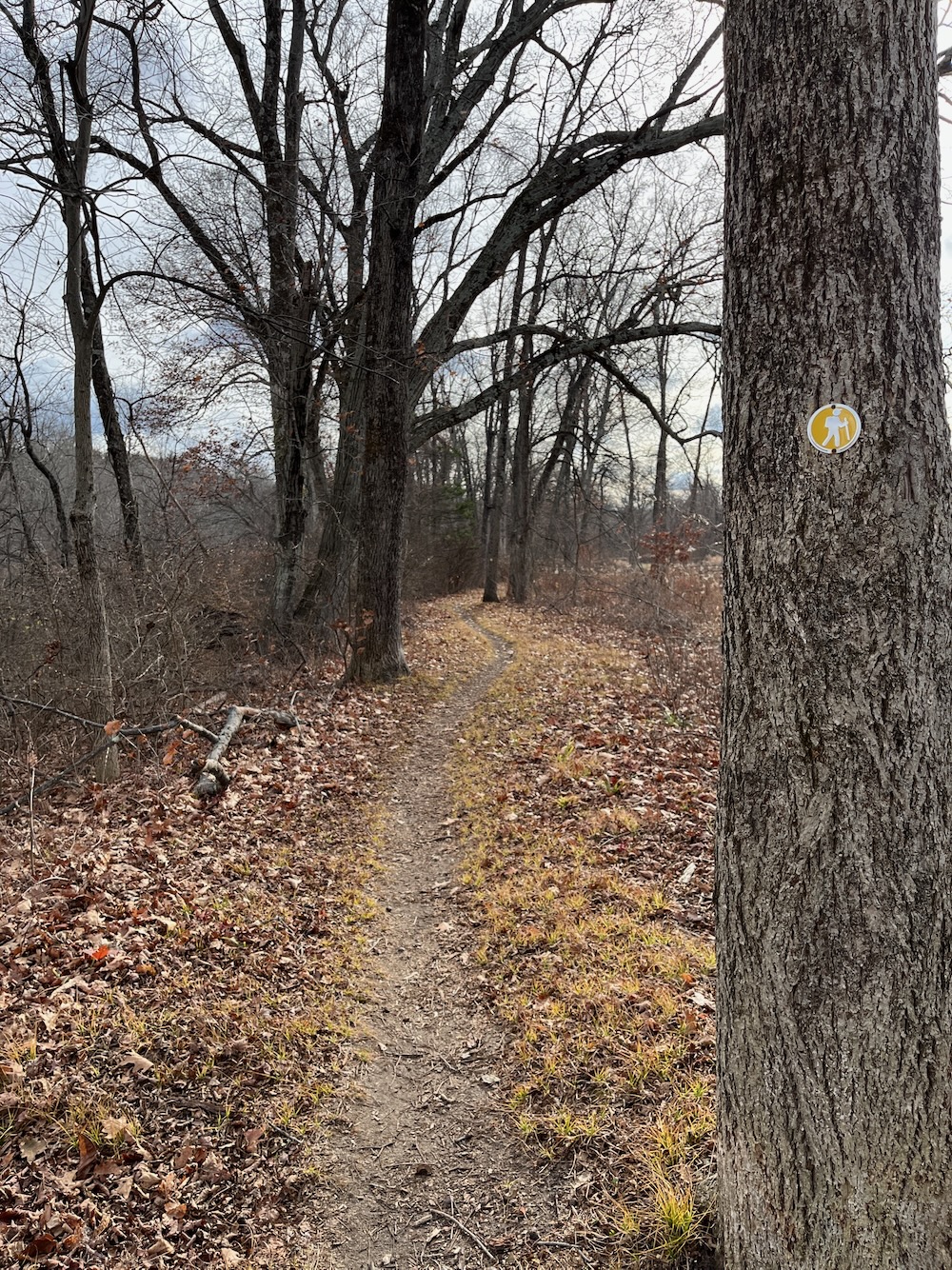
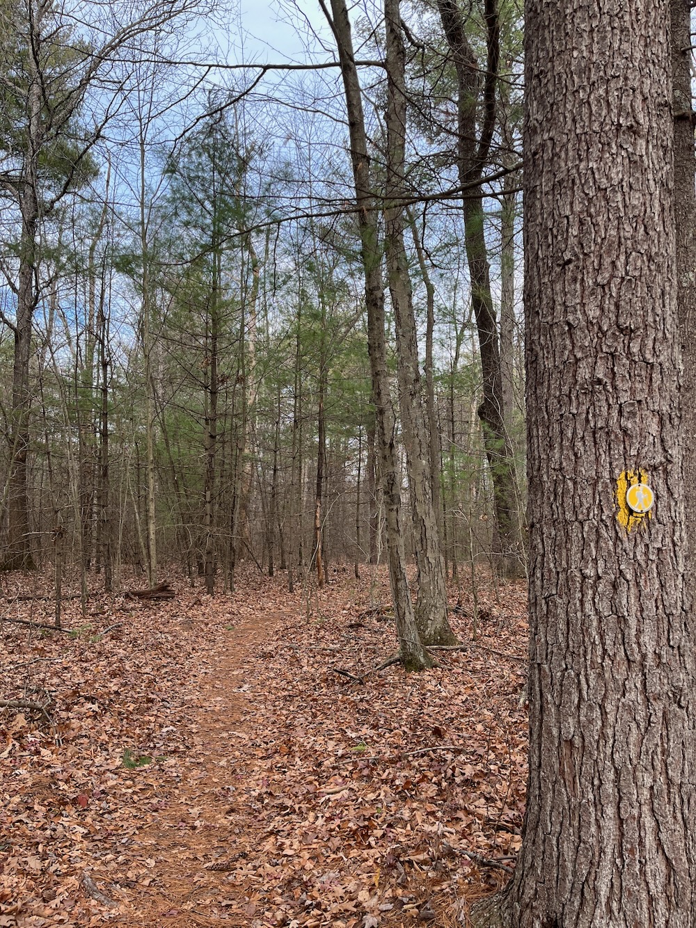
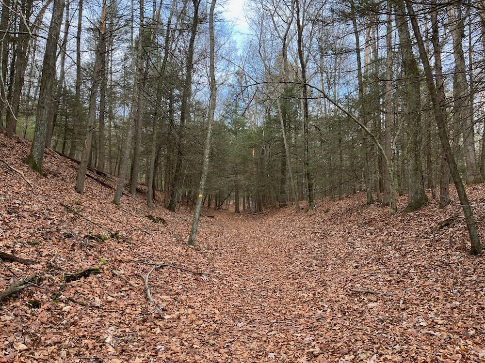
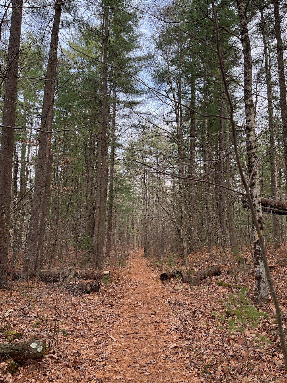
I parked in the lot on Tillotson Road near Old Farms Road. I set out to hike the now nearly 4 mile loop clockwise, following in my earlier footsteps. As you’ve surely gathered by now, this is an entirely different hike. The trail’s entire length is wonderfully clear – poison ivy and tick free. Granted, this was late November, but I’m pretty confident it’s just as safe from those menaces in August – and I bet it’s a lot prettier then too.
The only thing left to improve upon here is for Avon and Farmington to coalesce on a trail name and map. That still hasn’t happened as of today. Avon calls it “Fisher Farm Open Space.” The trail on the eastern side of Tillotson Road is the River Trail and it’s the Canal Trail on the western side.
Farmington, through which only like 15% of this trail traverses, calls the trails the Farmington River Trail and the Farmington Canal Trail. Hometown pride – and also demonstrably more accurate. Minor differences, sure, but still annoying to me. As are the maps:
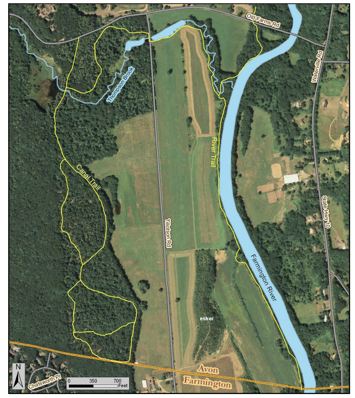
Avon version that refuses to acknowledge the Farmington section
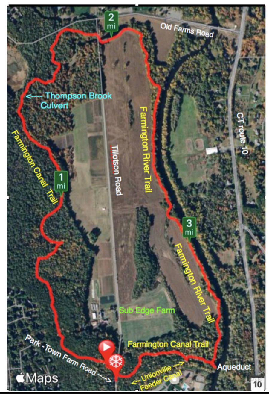
Farmington version that refuses to acknowledge the various loop trails off the main trail in Avon’s western section
I’m not aware of any Avon-Farmington beef, but let’s get it together, guys. This loop is a fantastic trail for young and old and you’re only making it confusing.
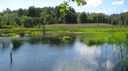
Back to my walk down the river. I must reiterate how well-cleared the path is all the way to the south end of the property. Most of this section is in the strip of woods between the Farmington River and the farmed fields, but every now and again it pops out to check the scene. The trail here is flat and easy. It’s nice.
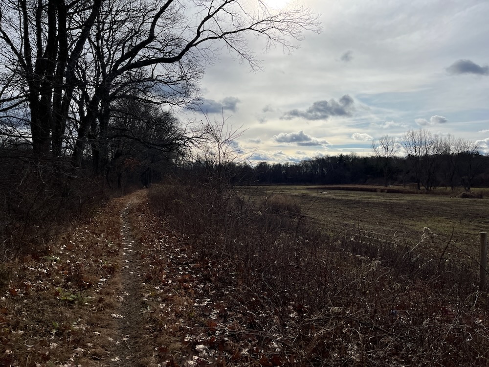
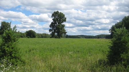
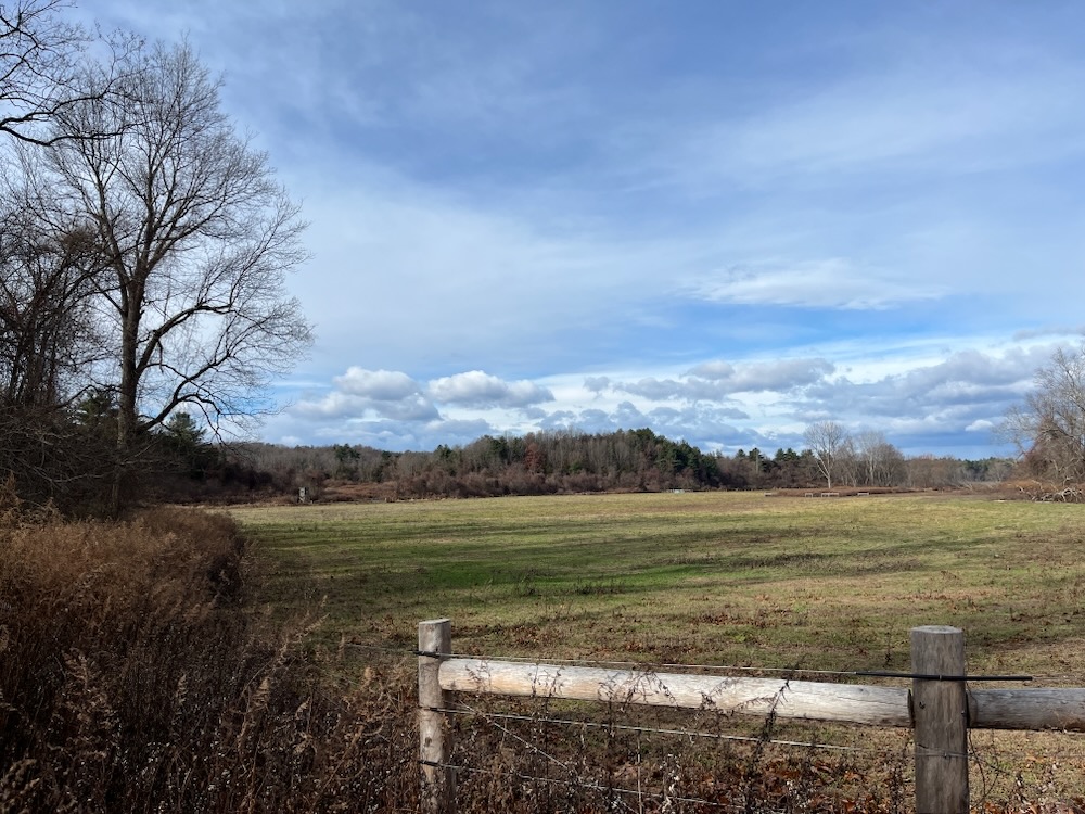
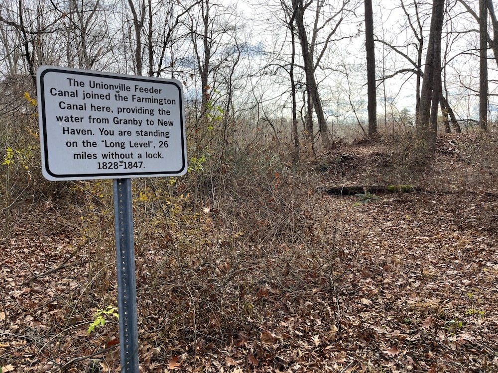
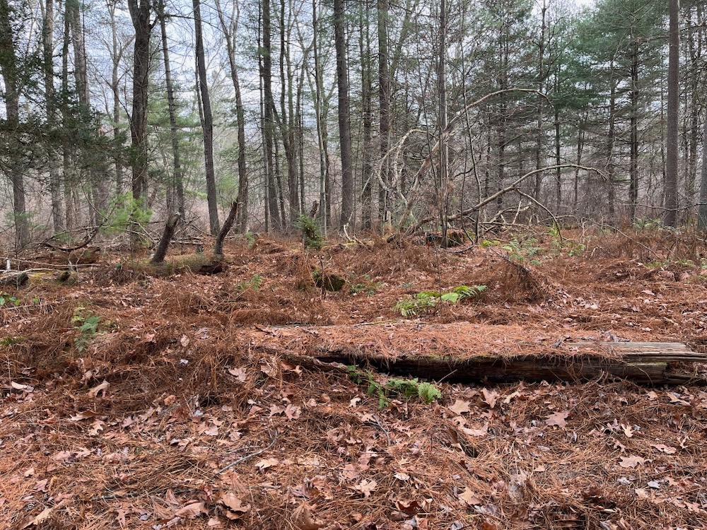
As I neared the town border, I began noticing “canal stuff.” At one point, it’s pretty clear the trail crosses an old canal bed, or a feeder canal or something. But before I could think too hard about that, I got one last good look at the fields and the esker.
Yes, the esker.
Between Tillotson Road and the Farmington River, a significant glacial esker can be seen rising above the farm fields that surround it. An esker results when sediment is deposited by water flowing through an ice tunnel in a melting glacier. When the glacier finally melts completely, the accumulated sediment is left resembling the tunnel in the ice, resulting in a hill or ridge. Some eskers continue for many miles.
The esker
The one here is now tree covered, but just a hundred years ago it looked like a tubular hill in the middle of a pasture.
Now south of fields and into the woods, the theme shifts to canals. The Farmington Canal to be exact.
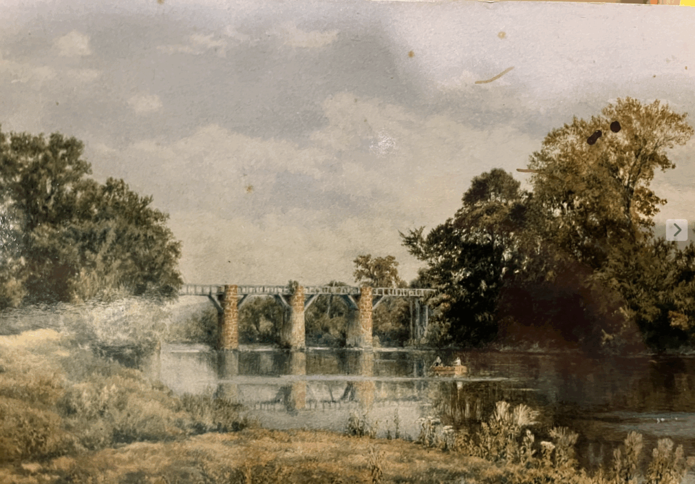
This canal features on a dozen CTMQ pages, but this little unassuming trail really gets to the heart of it. First, there’s the very well preserved 1828 aqueduct abutment. (The one on the other side of the river still exists as well, and can be seen along the Canal Aqueduct Trail.)
Perhaps the most impressive engineering feature of the whole 56-mile canal was the Farmington Aqueduct, which carried canal boats across the Farmington River.
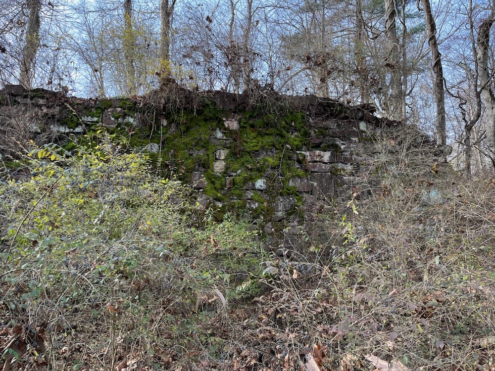
The Aqueduct contained a wooden trough 280 feet long, six feet deep and 14 feet wide, supported by two huge abutments at each end and six massive sandstone piers rising 40 feet from the solid rock of the river bed. A six foot wide wooden platform elevated along the top of the piers served as a towpath for the horses dragging the boats through the aqueduct’s waterway. Crossing the river on the Farmington Aqueduct so high in the air was a terrifying experience the boatsmen and the horses.
After the canal was abandoned in 1848, the aqueduct fell into disrepair and the wooden structure eventually collapsed into the river. In the 1880’s, two of the piers were dismantled and the stones reused in local building construction. The remaining four piers were destroyed in Connecticut’s 1955 flood.
There was a feeder canal that joined the main canal here, and all of this was in the middle of what was called The Long Level – 26 miles of canal without a lock. From Granby to Southington. Which is long way in a hilly area like north central Connecticut.
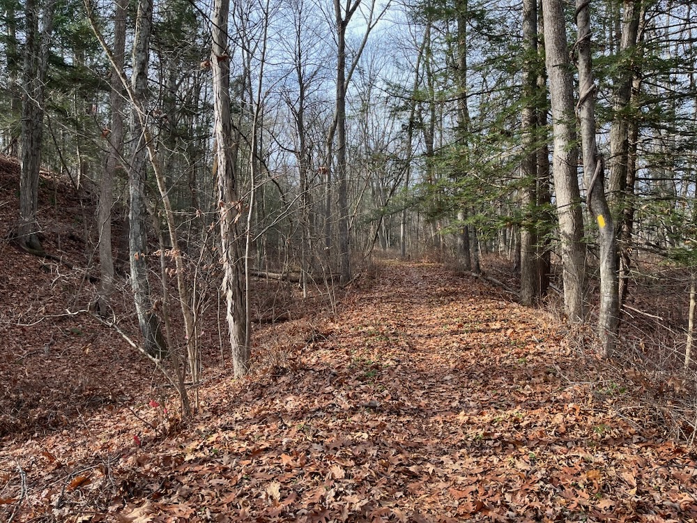
For the entire rest of the trail, there are various evidences of the canal. It’s cool.
Once across Tillotson Road, there are hills. Little baby hills, but that first half along the river will lull your legs to sleep. These hills were formed by a glacial moraine. Eskers and moraines. 8th grade is all flooding back to you now, eh?
Up and down and then a long stretch of hiking in the former canal. And even if you’re not super familiar with what it would be like to hike down the middle of a former canal, you really can’t miss it here. You also can’t miss Sub-Edge Farm, which the trail circumnavigates. They provide food to many of our local restaurants, host events, and allow this trail to exist all around them and their fields.
The Farmington Canal was Connecticut’s super-highway of the 1830’s and 1840’s. Begun in 1825, the canal was the largest engineering project ever attempted in New England. Inspired by the commercial success of the Erie Canal, and unlike other states which were publicly funded, Connecticut businessmen financed the waterway to open up an interior trade route between the port of New Haven and the towns of central Connecticut. Prior to the canal’s completion in 1829, merchandise had moved slowly in horse-drawn wagons over the region’s rough roadways.

The canal was dug by hand by local and immigrant labor, using simple equipment – axes, shovels, picks and wheelbarrows. When completed, the canal’s 36-foot width allowed two flat-bottomed barges to pass each other. On a towpath alongside the canal, horses hauled the 75-foot freight and passenger boats at speeds up to four mph. Although important to the economic development of towns along its route, the canal itself was a financial failure due to the high cost of maintenance. In 1848, the Farmington Canal Railroad acquired the right-of-way and converted much of the canal’s towpath to its rail bed.
There are some unmarked, but very clear, trails that head off west from the main blazed Canal Trail. (These are noted on the Avon map above). These might be cross-country trails from Avon Old Farms School or just, you know, trails. Trails that exist.
Reaching the northern end of the big loop, there are some more impressive gulches and hills and what I assume are glacial deposits.

There’s also the little stone bridge over Thompson Brook. There’s a sort of protective structure built over it now, I guess to preserve it. For the bridge dates to when construction on the canal began – July 4, 1825. This little bridge carried the canal over the brook.
After that, the trail leaves the canal bed and wanders through some massive pines before popping out at Tillotson Road again and the hiker’s lot.
Again, this is just a great hike for young and old. It’s not difficult, but it’s also not boring and I don’t care who you are, the Farmington Aqueduct was rad.
Painting of the aqueduct I saw at the Avon History Museum
Avon brochure
Farmington trail guide
CTMQ’s Avon Town Trail Hikes
CTMQ’s Farmington Town Trail Hikes
 Rich says
October 10, 2014 at 5:43 pmThis trail has just been extended another mile along the river into Farmington. The next phase will create a loop back to the Avon section of the trail. It will eventually connect to the Canal Trail on the West side of Tilloston Rd. The Farmington section is called “Farmington River-Canal Path Hiking Trail”. It is my understanding that the original section of the River Trail has been re-cleared and blazed. I will wait for phase 3 to be completed and hike the big loop.
 Monica says
May 29, 2019 at 12:21 pmI am here today, walking parallel to Tillotson/Town Farm Rd. The path is almost impassable and in danger of being lost due to growth. Tons of tall grass. Tick heaven. Could not bring children or a group in here. I emailed the Friends of Fisher Farm group to let them now. I hope there is a plan for upkeep.
 Jeff G says
December 6, 2023 at 10:39 amThe Towns of Avon and Farmington have teamed up to vastly improve the trails around Fisher Farms. They have been cut down and back to provide easy and poison ivy free trails. Please come back and try again. The history of the Canal is there for you to see.