
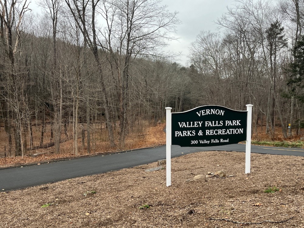
A Walk Through the Valley of the Falls
Multiple Trails, Vernon
April 2010 & December 2023
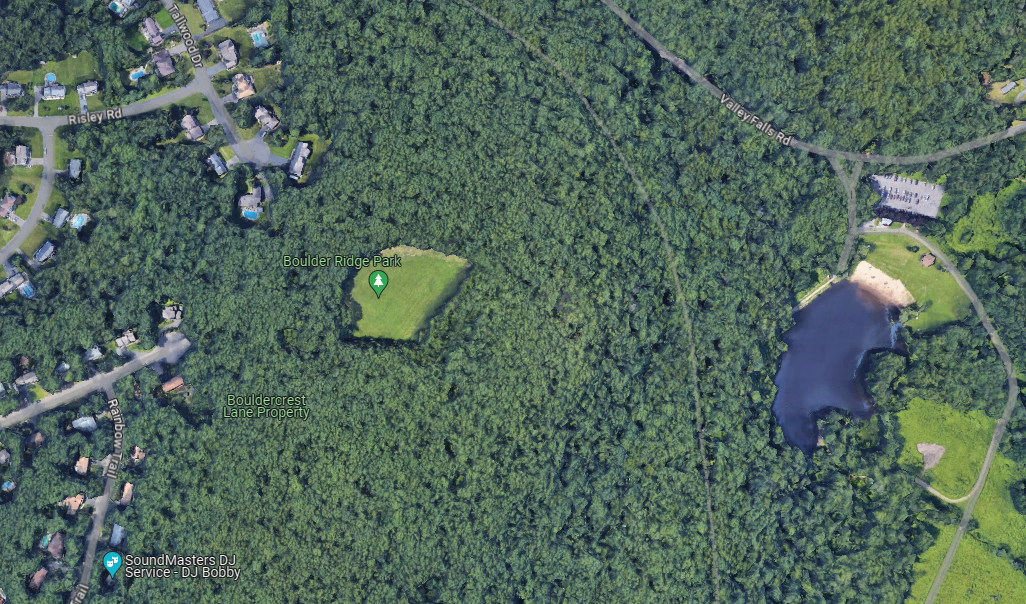
Valley Falls Park is a hub. It’s a great jumping off point for tons of hikes and bike rides. This page is almost exclusively about the park trails maintained by the town of Vernon. It won’t delve into the Shenipsit Trail or the Hop River State Park Trail or the Boulder Ridge Park/A.K. Webster trails or the Box Mountain trails or Bolton Notch State Park trails or the Belding Wildlife Management Area trails – all of which are connected to Valley Falls Park and its trails.
This page is also an attempt by me to marry what I did in 2010 with my return to clean it all up in December of 2023. These efforts are always a bit of a mess but it explains the mix of photo sizes and formats.
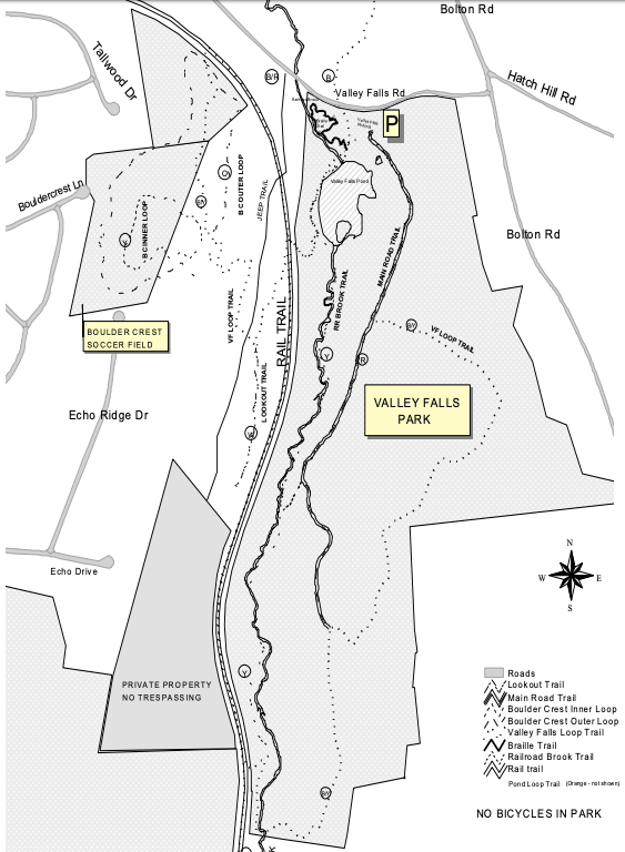
There are a bunch of trails in Valley Falls Park:
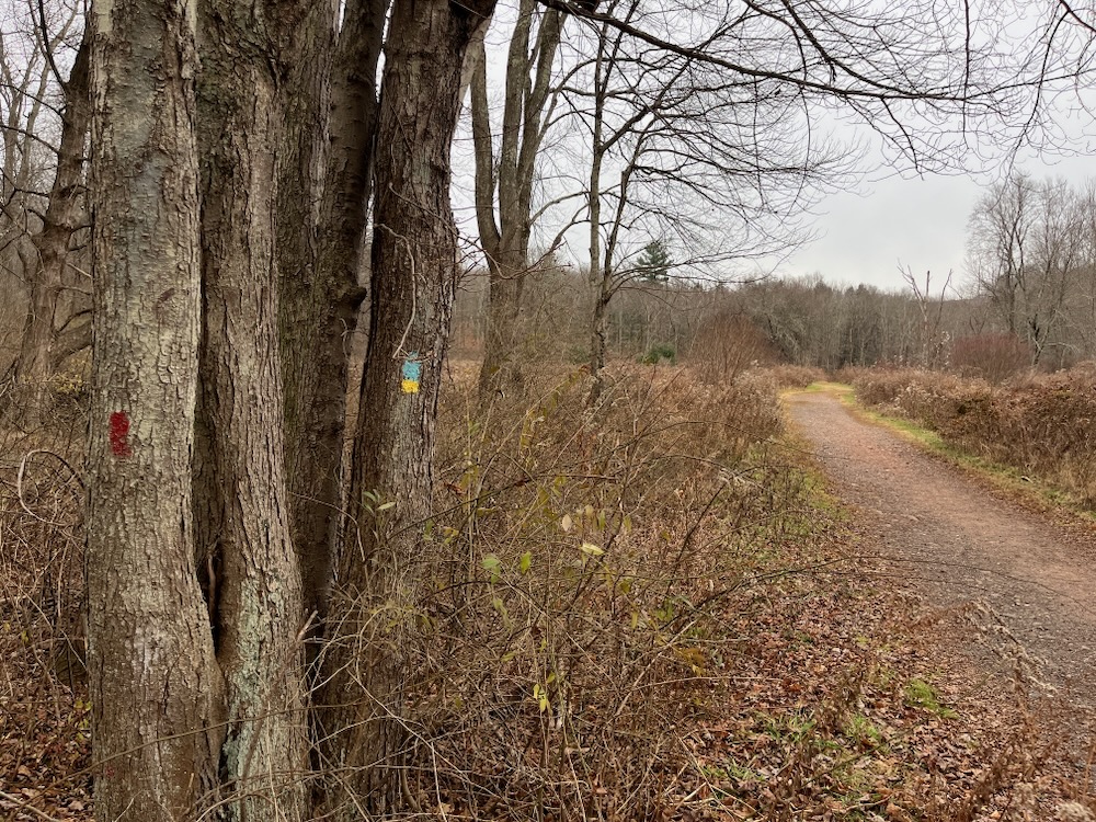
1. Valley Falls Loop Trail (Blue/Yellow), 3.8 mile loop
2. Main Road Trail (Red), 1.6 miles
3. Railroad Brook Trail (Yellow), 2.0 miles
4. Boulder Crest Inner (Yellow), 0.4 mile loop
5. Boulder Crest Outer (Orange), 0.9 mile loop
6. Lookout Trail (White), 0.6 miles
7. Pond Loop Trail (Orange, 0.6 miles around the pond near the entrance
![]()
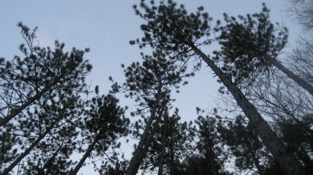
Valley Falls Loop Trail (East Side)
Those who follow my hiking exploits know that I’m thorough both on foot and keyboard. To officially complete the CFPA Blue Trails Challenge, one must not only hike all the main CFPA blue-blazed trails, but all the side trails mapped and described in the excellent CFPA Walk Books.
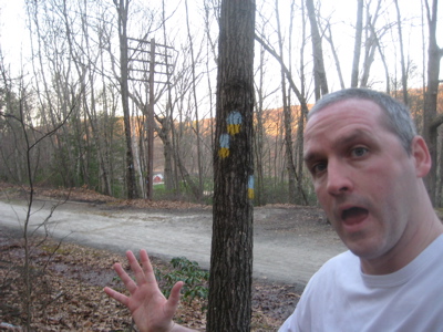
Admittedly, when I set out after work one day to knock off the Valley Falls Loop Trail in Vernon, I didn’t have high expectations. But as I’ve learned time and time again, my low expectations often yield exciting returns. Such was the case here at Valley Falls Park.
2023
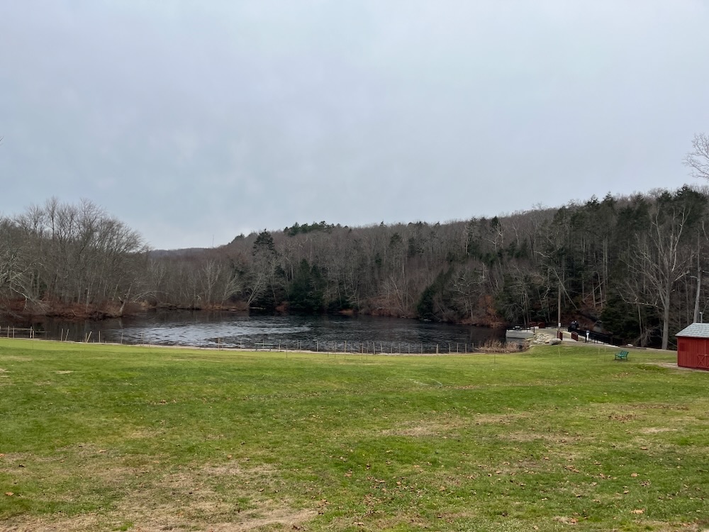
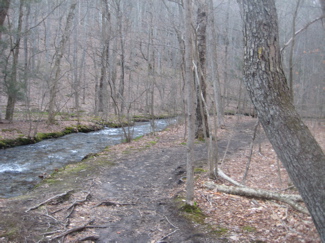
I had hiked the Shenipsit Trail section through the park a couple weeks prior with my friend Dennis, who happens to live less than a mile away from the park. The Shenipsit follows a converted rail bed for 2 miles into the park, then heads down to the parking area next to a lake and an old mill race and falls before continuing north out of the property – and into the Belding Wildlife Management Area.
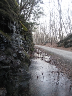
There is a lot of history in these parts. An amazing amount of 19th-century engineering created the railbed and tunnels here and into Bolton. I liked this bit from The Tankerhoosen site, which is like the CTMQ of this part of Vernon.
2010
The first train passed over this route in 1850. It was a very precarious run for stones on the side of the mountain above the tracks were often jarred loose and fell down on the tracks. The Railroad Company employed a steady track walker to go over this section of track each time a train passed. It was a hard uphill pull for the heavy steam locomotives to get to Bolton Station, then called “Quarryville”. At times the train seemed to just crawl along its shelf cut in the side of Box Mountain. Thus, Valley Falls became a “station” for hobos who could easily jump on to freight trains as they toiled along and in this way they got a free ride. Passengers riding the train from Willimantic to Vernon Depot got a thrill for at 301 tons, the engineer would disengage the engine and let the train coast down through the valley at breakneck speed thoroughly frightening even the most composed of its riders.
I love a good hobo story. A lot more went on here and this whole area of Bolton Notch State Park and Valley Falls is one of my favorites in this part of the state. Let’s hike!
The Valley Falls Loop is the only trail one “must” complete along one’s way towards completing the CFPA Blue Trails Challenge. It consists of a fairly large loop that will take you to both sides of the of the Shenipsit Trail/Hop River State Park Trail/old railbed (all the same thing here). I started with the eastern loop, clockwise.
2023 Me walked this same stretch which is why you see larger format pictures here.
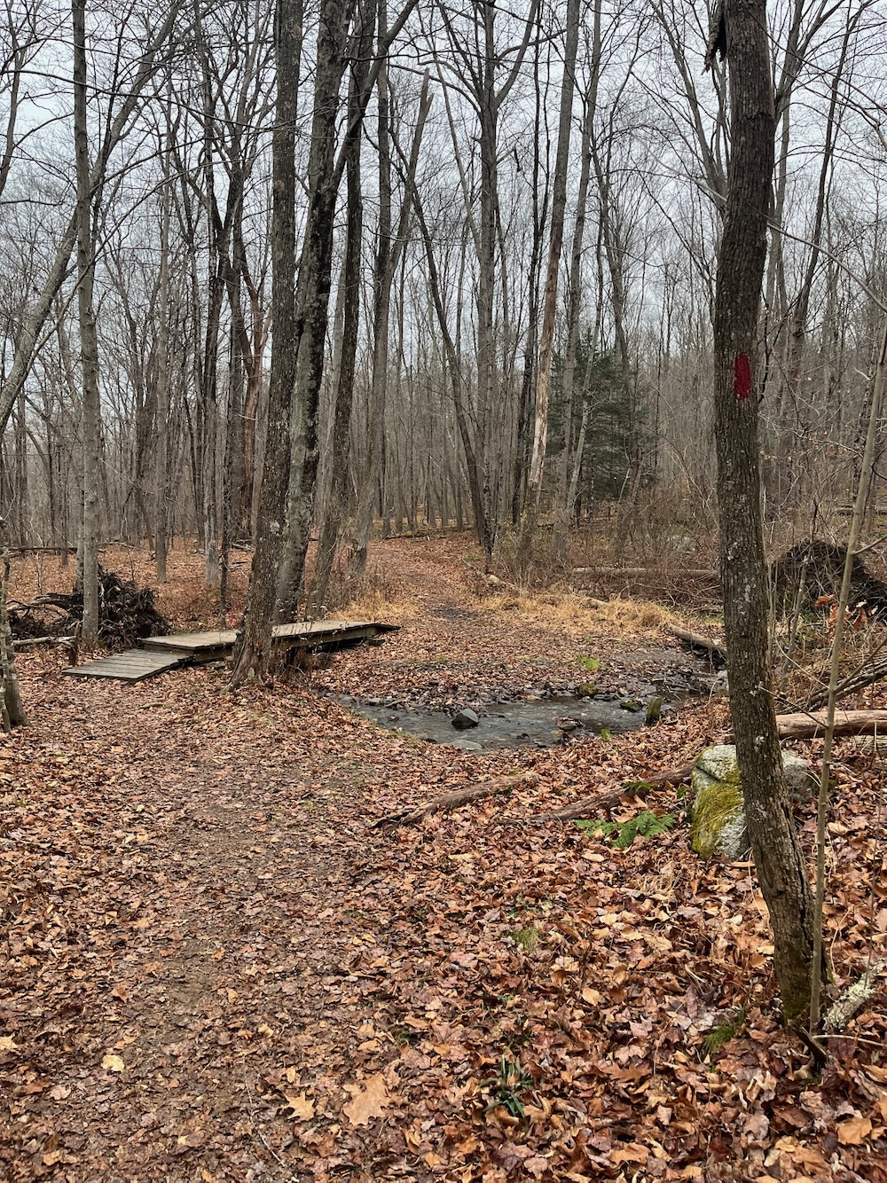
From the Valley Falls parking lot, it starts at the northeast end of the pond near the picnic pavilion and initially traipses through a meadow outfitted with a bunch of very nicely made bat houses. (They were an Eagle Scout project, I think.)
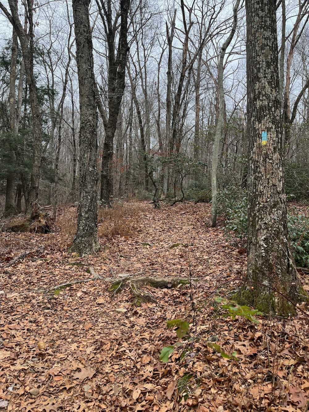
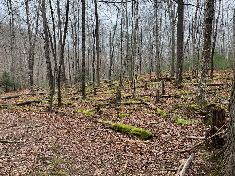
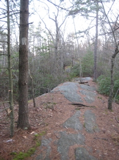
Once through the pleasant meadow, the trail heads uphill and leaves behind most of the park-goers, through some timbered area with very strangely laid down cut trees. I’m quite sure this is done for some forest management purposes I’m not aware of, and I’m sure it makes sense, but it looks very odd when freshly laid.
2023: I wonder if this is what I was talking about in 2010? It must be.
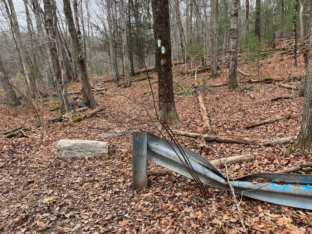
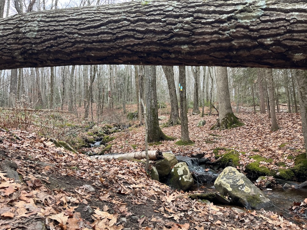
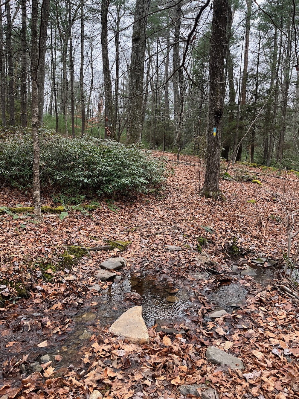
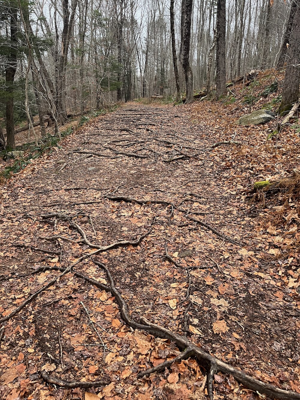
Once atop the unremarkable hill, the trail swings south and west, crossing a series of seasonal brooks. After that, the trail contours around a hill and ultimately winds up down in some swampy areas near Railroad Brook before turning north along the brook and then steeply up the banking to join the Shenipsit along the old railroad bed.
2023 Me peeled off before this and headed southeast into the breakaway section of Bolton Notch State Park along the Tulip Tree Trail – which I highly recommend by the way.
It’s not the world’s most exciting trail, but my hike gets better. Instead of rejoining the Shenipsit to repeat the mile I did a few weeks earlier, I continued along the brook via the yellow blazed Railroad Brook Trail.
Railroad Brook Trail
No way is this trail two miles long. I would guess it’s around not much more than a mile, but that’s not important. This yellow-blazed linear trail winds along with, you guessed it, Railroad Brook. And Railroad Brook parallels the Shenipsit Trail, often about 50 feet below it.
2023 Me: Sorry, I’ve got nothin’. The above was the only “re-do” I did.
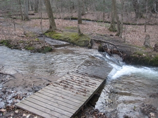
An enormous amount of effort has gone into maintaining this trail, as there are at least 15 bridges spanning the decent-sized brook. A brook, which in times of rain, often overflows its banks taking out these bridges. And yet, most are all still intact and holding up well. Valley Falls Park is to be commended.
I enjoyed the walk along the brook. Heck, if you’re bored with the Shenipsit at this point, feel free to hop down to this side trail and get your feet wet.
2023 Me notes that I’m very disappointed in 2010 me for this poor write-up of a pretty cool trail. But if you’re reading this, 2023 Me is going to give the same treatment to the Main Road Trail…
Main Road Trail
The Main Road Trail is another north-south path that parallels the two previous trails… which also generally parallel the Shenipsit Trail. There’s lots of north-south action here at Valley Falls. I wound up taking this back to my car in 2023 after my trek above and out into Bolton Notch State Park.
It’s a lovely trail and is not a road in an 2023 sense of the world. It’s perhaps wider and flatter than the other trails, but it’s a nice walk for sure.
Valley Falls Loop Trail, West Side
Here’s where my annoying need to define what trails belong to whom and where distract both you and me. See, on the western side of the rail bed, a large chunk of the land adjacent to the former tracks is Northern Connecticut Land Trust Land. So the Valley Falls Loop and other trails there aren’t truly Valley Falls Land – except the trails continue onto a plot of land west beyond that that is Valley Falls Land.
The climb is steep from the rail bed back up near the pond near the parking area and I’m assuming it’s Box Mountain’s flanks all along this stretch. So to follow the Valley Falls Loop Trail – and you should – get climbin’.
Once atop the ridge, the blazes become somewhat difficult to follow so I lost the trail for a moment and found myself, rather oddly, standing at the end of a nicely maintained soccer field. 2023 me assumes the NCLT has reblazed many times since 2010.
A soccer field on top of a (small) mountain in the middle of the woods. There are no roads leading to the field; just a rutted dirt road at the extreme western end which leads to a neighborhood. The whole scene was really, really weird.
Who plays games here? Why is this field here in the first place? It’s very disorienting. It’s called the Boulder Ridge Soccer Field and… That’s all I can tell you. I can almost see a well-hit errant shot on goal making its way through the trees on top of the ridge and then falling down the cliffs all the way to the rail trail 200 feet below.
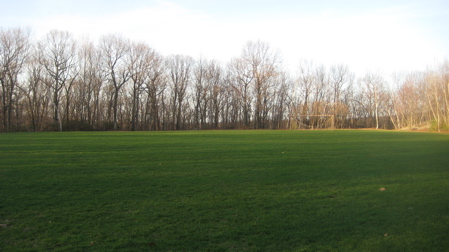
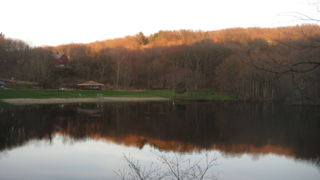
Valley Falls Pond on the right, you can see the Hop River Rail Trail curving left, and yes, there’s the soccer field in the woods.
Which, upon reflection, could be pretty funny.
2023 Me will remind you that I found out later that people coming to games here must park in the suburban neighborhood and hoof it a bit to the field.
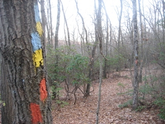
I found the blue and yellow blazes again and followed them past an orange trail, across a Jeep road, up to the ridgeline again and on to a While blazed trail.
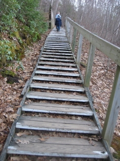
(The loop trail continues down the mountain back to the Shenipsit right about where it descends those steps to the lake. In 2017 I learned that the area up around the soccer field is the A.K. Webster Preserve which is maintained by the NCLT – hey, 2017 me! 2023 me just said that! Well perhaps 2023 me should read ahead before editing 2010 me, eh?. Anyway, this is the AK Webster Preserve/Boulder Ridge Park area.
Valley Falls Loop: Done!
Lookout Trail
I’m thinking their mileages on the brochure are out-and-back totals. Though short, this is the best walk in the park. It’s wonderful.
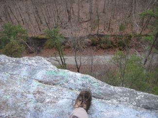
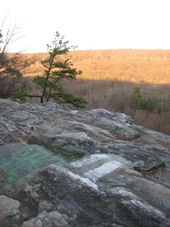
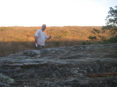
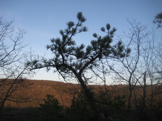
It merely follows the ridgeline south atop the cliffs that loom above the Shenipsit below. The rewarding view at the end (and a few more along the way) are definitely worth any extra effort to get up here. And really, the effort isn’t all that much as I passed a young woman wearing flip flops on the ridge.
Once I reached the view, I sat for a while and took it all in. It’s nice… Valley Falls Park is nice.
2023 me will again reiterate how cool this whole area is. This little Lookout Trail has a corollary south from Freja Park in Bolton where you can continue along the ridge when the Shenipsit Trail leaves it. Rogue Trails will get you over to Box Mountain/Risley Reservoir and very likely all the way here to Valley Falls. You could honestly hike a good 10+ miles looping around and getting great views in spots, interesting history in others, and some challenging ups and downs here and there.
And yes, we’re talking Vernon and Bolton… which kind of exemplifies what CTMQ is all about: Finding (and doing) cool stuff in every town in the state. And if you want to expand your radius here north a little bit, the state’s Belding Wildlife Management Area is on the other side of Valley Falls Road and it’s gorgeous. It just never ends!
![]()
Friends of Valley Falls Park
The Tankerhoosen (Lots of historical information)
Valley Falls Farm Heritage Center
My hike of AK Webster Preserve (NCLT)
CTMQ Hikes Vernon’s Town Trails
 stacey says
April 17, 2011 at 9:34 pmi brought my friends to the belding area today. its the best =D great article, by the way. i sent it to one of my hikey friends. thanks!
 Nick says
April 17, 2011 at 10:02 pmgood article man. stacey linked me to it. I hike to valley falls a lot from a place my friends and I dubbed “Floodplain Forest”…not sure what the actual name is but we enter on reservoir road off exit 67…it’s a decent hike if you haven’t tried it, about a mile and a half from floodplain to valley falls.. Good inclusion of the snip trail in your article too..I grew up in tolland next to that lake and hiked down there before it was an official state trail.
 Nick says
April 17, 2011 at 10:11 pmjust noticed the very end of the article and the inclusion of floodplain. even better
 Cumulus says
April 3, 2024 at 7:30 pmYou left out the Cuban Flag Trail. I don’t know its official name, but the blazes are blue with red triangles and look like Cuban flags without the white parts. It loops around the southeast part of the park (or maybe the woods near the park) off of the blue and yellow trail. It also comes near Bolton Road, and I’ve figured out that I can walk a half mile down that road from my house, pick up the Cuban Flag Trail, and from there go to Freja Park and Risley Park. That’s what I do when I want a long hike but the weather’s too bad to drive.