
The Shenipsit Trail
East Hampton to Stafford
50 miles
The Shenipsit Trail is located in Central Connecticut and mostly follows the low ridgeline east of the Connecticut River. It runs for about 50 miles in a north-south direction. There are about 25 miles of regional Shenipsit Trails as well. The southern trailhead is in the Cobalt section of East Hampton near Great Hill and heads north to a random road in northern Stafford, just shy of the Massachusetts border. The trail navigates through several populated suburban areas and it also crosses a few highways.
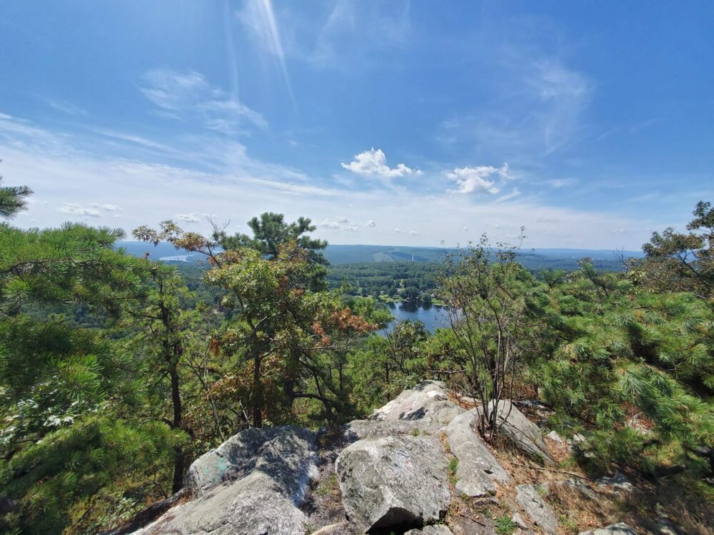
Great Hill Overlook at the East Hampton/Portland line near the southern terminus
For whatever reason, the S’nip is always overlooked when discussing Connecticut’s (relatively) long distance trails. Which is a shame, because it has a lot of interesting features along its way. The trail runs primarily through the Shenipsit and Meshomasic State Forests, but also hits some Hop River State Park Trail in Bolton and Vernon and courses through places such as Case Mountain, Gay City State Park, and Soapstone Mountain.
Let’s hike!
![]()
My sections are my own designation. They begin at the southern terminus along Gadpouch Road in East Hampton and end on Greaves Road in Stafford.
Section 1: Gadpouch Road to Route 2, E. Hampton, Portland, Glastonbury
Section 2: Route 2 to Coop Sawmill Road, Glastonbury
Section 3: Coop Sawmill Road to Rte 31 Commuter Lot, Manchester, Bolton, Vernon
Section 4: Exit 67/Rte 31 Commuter Lot to Hopkins Rd., Vernon, Tolland, Ellington
Section 5: Hopkins Road to Old County Road, Ellington, Somers, Stafford
Section 6: Old County Road to Greaves Road, Stafford
CTMQ’s hikes of the Shenipsit Regional Trails
![]()
CFPA Trails Map
CTMQ’s CFPA Blue Trails Challenge
 Cumulus says
July 28, 2009 at 8:08 pmAs I think you know, I hike the section between the powerlines in Glastonbury and the intersection with Birch Mtn. Rd. in Manchester a lot. I’m looking forward to hearing your take on that area.
For an interesting experience my son had at the Birch Mtn. Rd. trailhead see my new thread on Rock on Top TRs.
 Cumulus says
September 21, 2009 at 6:30 pmYou might have seen this, but I’ve written a couple posts in Rocks about a relo of the Shenipsit in Glastonbury:
http://www.rocksontop.com/phpbb2/viewtopic.php?t=6132
 Q says
May 9, 2021 at 11:26 pmWhat does CTMQ stand for? Is it Connecticut Man Quest?
Thanks for the run down of the trail.
 Steve says
May 10, 2021 at 5:52 amCTMQ FAQ
 Jamie says
July 3, 2023 at 2:49 pmAs of this morning, I am now a Shenipsit mainline trail completer! Did it in more than six trips but with my work schedule and all, I don’t always have time for extended days. In reading your excellent travelogue I’m struck by how different our experiences were in some ways. I think some of the yuck you described has been mitigated by trail relocations but other yuck has crept in. I found several sections overgrown and nearly impassable, mostly between Bolton Notch and Case Mountain. I do wish I had seen Bear Dog or something similar. I did the entire 3 mile road walk to get around rt. 2 because it IS part of the main trail as blazed. Also did the culvert going back since it saved lots of time. It is kind of cool but I can see what CFPA wouldn’t have wanted to route the trail through it. Slippery as heck.
I started in Stafford and finished in East Hampton. I think if I’d started as you did I might have said meh and not finished. While our experiences had differences, I do agree with most of your assessments about what sections are better and what are just for completists. My favorite sections were mostly in the northern half. The Meshomasic State Forest part was pretty but the trail is still really wet and scarred. The Case Mountain area and Valley Falls sections were great. The Stafford piece was good, as was the trek around over Soapstone Mountain. Having done the entire Metacomet and Tunxis (including spur trails), I’d rate both of those higher than the Shenipsit, though I’m glad I did it.
Might someday try and tackle the spur trails. I’m guessing I’ve already done a significant percentage of that mileage. Take care!